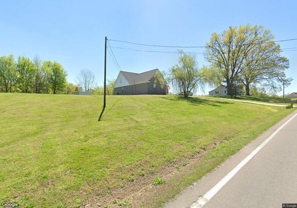
15401 State Route 59 W Drummonds, TN 38023
Estimated Value: $270,000 - $414,000
--
Bed
1
Bath
2,177
Sq Ft
$157/Sq Ft
Est. Value
About This Home
This home is located at 15401 State Route 59 W, Drummonds, TN 38023 and is currently estimated at $340,773, approximately $156 per square foot. 15401 State Route 59 W is a home with nearby schools including Drummonds Elementary School, Munford Middle School, and Munford High School.
Ownership History
Date
Name
Owned For
Owner Type
Purchase Details
Closed on
May 26, 2021
Sold by
Huff Group Holdings Inc
Bought by
Butler Brian Samuel and Butler Tori Anne
Current Estimated Value
Home Financials for this Owner
Home Financials are based on the most recent Mortgage that was taken out on this home.
Original Mortgage
$290,080
Outstanding Balance
$262,631
Interest Rate
2.9%
Mortgage Type
VA
Estimated Equity
$78,142
Purchase Details
Closed on
Jan 29, 2021
Sold by
Mlh Investments Llc
Bought by
Huff Group Holdings Inc
Purchase Details
Closed on
Dec 4, 2020
Sold by
Dobbs Robert W
Bought by
Mlh Investments Llc
Purchase Details
Closed on
Nov 3, 2005
Sold by
Ferguson Jerry W
Bought by
Dobbs Robert W
Home Financials for this Owner
Home Financials are based on the most recent Mortgage that was taken out on this home.
Original Mortgage
$146,221
Interest Rate
5.9%
Create a Home Valuation Report for This Property
The Home Valuation Report is an in-depth analysis detailing your home's value as well as a comparison with similar homes in the area
Home Values in the Area
Average Home Value in this Area
Purchase History
| Date | Buyer | Sale Price | Title Company |
|---|---|---|---|
| Butler Brian Samuel | $283,700 | Fayette County Title Company | |
| Huff Group Holdings Inc | -- | Accommodation | |
| Mlh Investments Llc | $138,372 | Fayette County Title | |
| Dobbs Robert W | $143,000 | -- |
Source: Public Records
Mortgage History
| Date | Status | Borrower | Loan Amount |
|---|---|---|---|
| Open | Butler Brian Samuel | $290,080 | |
| Previous Owner | Dobbs Robert W | $146,221 |
Source: Public Records
Tax History Compared to Growth
Tax History
| Year | Tax Paid | Tax Assessment Tax Assessment Total Assessment is a certain percentage of the fair market value that is determined by local assessors to be the total taxable value of land and additions on the property. | Land | Improvement |
|---|---|---|---|---|
| 2024 | $1,152 | $75,700 | $6,200 | $69,500 |
| 2023 | $1,152 | $75,700 | $6,200 | $69,500 |
| 2022 | $1,259 | $61,725 | $4,575 | $57,150 |
| 2021 | $959 | $61,725 | $4,575 | $57,150 |
| 2020 | $959 | $47,025 | $4,575 | $42,450 |
| 2019 | $985 | $40,700 | $4,225 | $36,475 |
| 2018 | $985 | $40,700 | $4,225 | $36,475 |
| 2017 | $985 | $40,700 | $4,225 | $36,475 |
| 2016 | $985 | $40,700 | $4,225 | $36,475 |
| 2015 | $984 | $40,700 | $4,225 | $36,475 |
| 2014 | $984 | $40,700 | $0 | $0 |
Source: Public Records
Map
Nearby Homes
- 0 Dolan Rd Unit 10206733
- 630 Glen Springs Rd
- 8539 Campground Rd
- 2664 Glen Springs Rd
- 0 Richardson Landing Rd Unit 10207422
- 0 Richardson Landing Rd Unit LotWP000 16969392
- 0 Richardson Landing Rd Unit 10161338
- 05 Richardson Landing Rd
- 0000 Bowers Rd
- 97 Richardson Lake Dr
- 59 Pryor Rd
- 8508 Campground Rd
- 52 Wilkinsville Rd
- 243 Morgan Way
- 3053 Drummonds Rd
- 340 Lillie Ln
- 1739 Tate Rd
- 2212 Drummonds Rd
- 30 Kight Rd
- 118 Robert L Ellis Dr
- 15401 W Hwy 59 Hwy
- 15425 State Route 59 W
- 15331 59 Hwy
- 15443 State Route 59 W
- 15513 Hwy 59 W
- 15513 59 Hwy W
- 15513 Hwy 59 Hwy
- 140 Needham Rd
- 15513 State Route 59 W
- 52 Needham Rd
- 15187 State Route 59 W
- 15195 State Route 59 W
- 0 Glen Springs Rd
- 15140 Hwy 59 W
- 15157 State Route 59 W
- 55 Glen Springs Rd
- 1 Glen Springs Rd
- 15657 State Route 59 W
- 0 Dolan Rd
- 0 Dolan Rd Unit 10178417