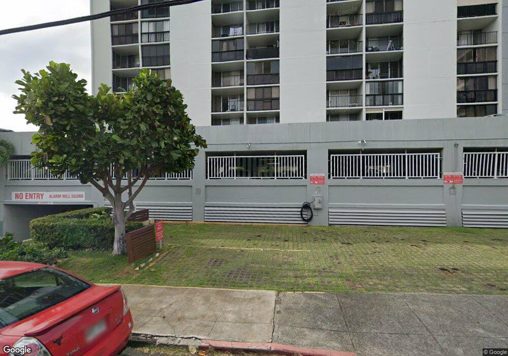
Punahou Royale 1541 Dominis St Unit 1005 Honolulu, HI 96822
Makiki NeighborhoodEstimated Value: $365,538 - $466,000
1
Bed
1
Bath
567
Sq Ft
$714/Sq Ft
Est. Value
About This Home
This home is located at 1541 Dominis St Unit 1005, Honolulu, HI 96822 and is currently estimated at $404,885, approximately $714 per square foot. 1541 Dominis St Unit 1005 is a home located in Honolulu County with nearby schools including President Abraham Lincoln Elementary School, Robert Louis Stevenson Middle School, and President Theodore Roosevelt High School.
Ownership History
Date
Name
Owned For
Owner Type
Purchase Details
Closed on
Dec 5, 2008
Sold by
Hart Michael Guy and Okada Cathy Hisae
Bought by
Kim Sun Nyo
Current Estimated Value
Purchase Details
Closed on
Apr 19, 2005
Sold by
Cedar Heights Partnership Llp
Bought by
Hart Michael Guy and Okada Cathy Hisae
Home Financials for this Owner
Home Financials are based on the most recent Mortgage that was taken out on this home.
Original Mortgage
$176,000
Interest Rate
5.84%
Mortgage Type
Unknown
Purchase Details
Closed on
Apr 9, 2001
Sold by
Fujiwara Shari L
Bought by
Cedar Heights Partnership Llp
Purchase Details
Closed on
Mar 17, 2000
Sold by
Fujiwara Shari Lynn Miyo
Bought by
Fujiwara Shari L and The Shari L Fujiwara Trust
Create a Home Valuation Report for This Property
The Home Valuation Report is an in-depth analysis detailing your home's value as well as a comparison with similar homes in the area
Home Values in the Area
Average Home Value in this Area
Purchase History
| Date | Buyer | Sale Price | Title Company |
|---|---|---|---|
| Kim Sun Nyo | $269,000 | Tg | |
| Hart Michael Guy | $220,000 | Fhtc | |
| Cedar Heights Partnership Llp | $118,000 | -- | |
| Fujiwara Shari L | -- | -- |
Source: Public Records
Mortgage History
| Date | Status | Borrower | Loan Amount |
|---|---|---|---|
| Previous Owner | Hart Michael Guy | $176,000 | |
| Closed | Hart Michael Guy | $44,000 |
Source: Public Records
Tax History Compared to Growth
Tax History
| Year | Tax Paid | Tax Assessment Tax Assessment Total Assessment is a certain percentage of the fair market value that is determined by local assessors to be the total taxable value of land and additions on the property. | Land | Improvement |
|---|---|---|---|---|
| 2025 | $1,418 | $417,700 | $47,600 | $370,100 |
| 2024 | $1,418 | $405,100 | $47,600 | $357,500 |
| 2023 | $1,310 | $374,200 | $47,600 | $326,600 |
| 2022 | $1,306 | $373,100 | $45,000 | $328,100 |
| 2021 | $1,184 | $338,300 | $43,200 | $295,100 |
| 2020 | $1,220 | $348,700 | $41,500 | $307,200 |
| 2019 | $1,194 | $341,000 | $39,800 | $301,200 |
| 2018 | $1,157 | $330,500 | $36,900 | $293,600 |
| 2017 | $1,162 | $331,900 | $32,900 | $299,000 |
| 2016 | $1,124 | $321,100 | $38,500 | $282,600 |
| 2015 | $781 | $303,200 | $35,300 | $267,900 |
| 2014 | $726 | $284,900 | $31,000 | $253,900 |
Source: Public Records
About Punahou Royale
Map
Nearby Homes
- 1545 Nehoa St Unit 404
- 1545 Nehoa St Unit 302
- 1545 Nehoa St Unit 402
- 1720 Poki St Unit 201
- 1707 Anapuni St Unit 9
- 1718 Anapuni St Unit 202
- 1718 Anapuni St Unit 205
- 1504 Dominis St
- 1926 Ualakaa St
- 1550 Wilder Ave Unit A612
- 1550 Wilder Ave Unit A301
- 1550 Wilder Ave Unit A713
- 1550 Wilder Ave Unit A1304
- 1550 Wilder Ave Unit A711
- 1550 Wilder Ave Unit A705
- 1710 Makiki St Unit 401
- 1710 Makiki St Unit 1003
- 1710 Makiki St Unit 1005
- 1710 Makiki St Unit 605
- 1911 Makiki St
- 1541 Dominis St Unit 1003
- 1541 Dominis St Unit 706
- 1541 Dominis St Unit 1704
- 1541 Dominis St Unit 1402
- 1541 Dominis St Unit 905
- 1541 Dominis St Unit 1807
- 1541 Dominis St Unit 1107
- 1541 Dominis St Unit 1902
- 1541 Dominis St Unit 707
- 1541 Dominis St Unit 1102
- 1541 Dominis St Unit 1706
- 1541 Dominis St Unit 904
- 1541 Dominis St Unit 1403
- 1541 Dominis St Unit 1206
- 1541 Dominis St Unit PH7
- 1541 Dominis St Unit 802
- 1541 Dominis St Unit 1007
- 1541 Dominis St Unit 1001
- 1541 Dominis St Unit 1703
- 1541 Dominis St Unit 602