Estimated Value: $322,051 - $367,000
Studio
--
Bath
1,432
Sq Ft
$237/Sq Ft
Est. Value
About This Home
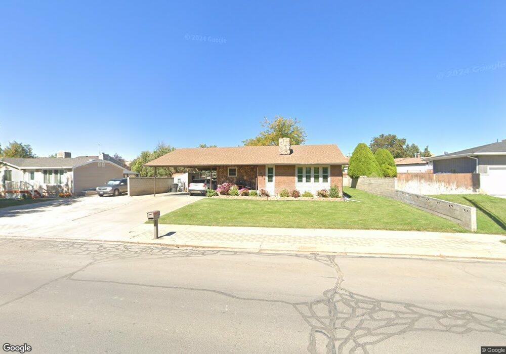
This home is located at 1541 E 800 N, Price, UT 84501 and is currently estimated at $339,263, approximately $236 per square foot. 1541 E 800 N is a home located in Carbon County with nearby schools including Castle Heights School, Mont Harmon Junior High School, and Carbon High School.
Ownership History
Date
Name
Owned For
Owner Type
Purchase Details
Closed on
Sep 23, 2024
Sold by
Alger Rex E and Alger Mary P
Bought by
Rex And Mary Alger Revocable Living Trust and Alger
Current Estimated Value
Home Financials for this Owner
Home Financials are based on the most recent Mortgage that was taken out on this home.
Original Mortgage
$43,000
Outstanding Balance
$41,818
Interest Rate
6.47%
Mortgage Type
Credit Line Revolving
Estimated Equity
$297,445
Purchase Details
Closed on
Jan 3, 2018
Sold by
Alger Rex E and Alger Mary P
Bought by
Alger Rex E and Alger Mary P
Create a Home Valuation Report for This Property
The Home Valuation Report is an in-depth analysis detailing your home's value as well as a comparison with similar homes in the area
Purchase History
| Date | Buyer | Sale Price | Title Company |
|---|---|---|---|
| Rex And Mary Alger Revocable Living Trust | -- | Professional Title | |
| Alger Rex E | -- | Professional Title | |
| Alger Rex E | -- | Professional Title Services |
Source: Public Records
Mortgage History
| Date | Status | Borrower | Loan Amount |
|---|---|---|---|
| Open | Alger Rex E | $43,000 |
Source: Public Records
Tax History
| Year | Tax Paid | Tax Assessment Tax Assessment Total Assessment is a certain percentage of the fair market value that is determined by local assessors to be the total taxable value of land and additions on the property. | Land | Improvement |
|---|---|---|---|---|
| 2025 | $2,430 | $200,047 | $12,271 | $187,776 |
| 2024 | $2,392 | $199,163 | $11,962 | $187,201 |
| 2023 | $2,133 | $189,438 | $11,762 | $177,676 |
| 2022 | $2,237 | $178,185 | $9,779 | $168,406 |
| 2021 | $1,916 | $236,819 | $14,941 | $221,878 |
| 2020 | $1,877 | $116,437 | $0 | $0 |
| 2019 | $1,666 | $108,380 | $0 | $0 |
| 2018 | $1,661 | $110,218 | $0 | $0 |
| 2017 | $1,640 | $110,218 | $0 | $0 |
| 2016 | $1,479 | $110,218 | $0 | $0 |
| 2015 | $1,479 | $110,218 | $0 | $0 |
| 2014 | $1,470 | $110,218 | $0 | $0 |
| 2013 | $1,328 | $98,660 | $0 | $0 |
Source: Public Records
Map
Nearby Homes
- 703 N Windsor Cir
- 688 Birch Cir
- 1535 Sagewood Rd
- 831 N 1820 E Unit 66
- 1830 E 840 N Unit 80
- 1827 E 8th N Unit 79
- 1829 E 840 N Unit 87
- 1840 E 840 N Unit 81
- 1841 E 8th N Unit 78
- 1843 E 840 N Unit 86
- 1348 Sagewood Rd
- 1855 E 8th N Unit 77
- 1858 E 840 N Unit 82
- 1857 E 840 N Unit 85
- 1849 E 880 N
- 1860 E 880 N
- 1871 E 840 N Unit 84
- 883 N 1000 E
- 838 N 1880 E Unit 73
- 854 N 1880 E Unit 72
- 1539 E 800 N
- 807 Pinewood Cir
- 1540 Eastwood Cir
- 825 Pinewood Cir
- 1519 E 800 N
- 1536 E 800 N
- 1522 E 800 N
- 1550 E 800 N
- 1522 Eastwood Cir
- 1510 E 800 N
- 1545 Eastwood Dr
- 839 Pinewood Cir
- 810 Pinewood Cir
- 775 Briarwood Cir
- 822 Pinewood Cir
- 822 Pinewood Cir
- 792 Briarwood Cir
- 792 Briarwood Cir
- 1481 E 800 N
- 855 Pinewood Cir