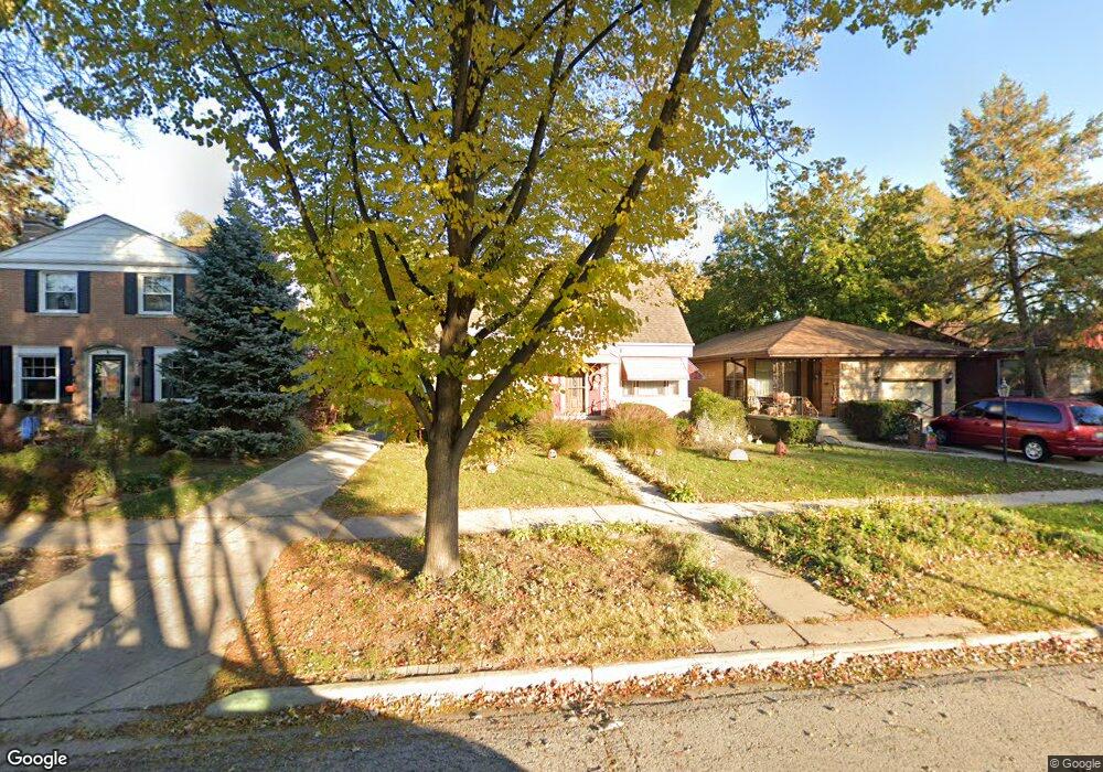
1541 Manchester Ave Westchester, IL 60154
Estimated Value: $326,809 - $369,000
3
Beds
1
Bath
1,419
Sq Ft
$247/Sq Ft
Est. Value
About This Home
This home is located at 1541 Manchester Ave, Westchester, IL 60154 and is currently estimated at $350,202, approximately $246 per square foot. 1541 Manchester Ave is a home located in Cook County with nearby schools including Westchester Primary School, Westchester Intermediate School, and Westchester Middle School.
Ownership History
Date
Name
Owned For
Owner Type
Purchase Details
Closed on
Nov 12, 2003
Sold by
Kot Yaroslaw
Bought by
Kchisko Zinoviia
Current Estimated Value
Purchase Details
Closed on
Oct 30, 2003
Sold by
Illinois State Toll Highway Authority
Bought by
Krystyniak Theresa
Purchase Details
Closed on
Dec 27, 2002
Sold by
Soltis Joseph M and Soltis Susan
Bought by
Marquette Bank and Trust #16288
Create a Home Valuation Report for This Property
The Home Valuation Report is an in-depth analysis detailing your home's value as well as a comparison with similar homes in the area
Home Values in the Area
Average Home Value in this Area
Purchase History
| Date | Buyer | Sale Price | Title Company |
|---|---|---|---|
| Kchisko Zinoviia | -- | -- | |
| Krystyniak Theresa | -- | -- | |
| Marquette Bank | -- | -- |
Source: Public Records
Tax History Compared to Growth
Tax History
| Year | Tax Paid | Tax Assessment Tax Assessment Total Assessment is a certain percentage of the fair market value that is determined by local assessors to be the total taxable value of land and additions on the property. | Land | Improvement |
|---|---|---|---|---|
| 2024 | $4,995 | $25,000 | $4,690 | $20,310 |
| 2023 | $4,278 | $25,000 | $4,690 | $20,310 |
| 2022 | $4,278 | $20,180 | $4,020 | $16,160 |
| 2021 | $1,714 | $20,179 | $4,020 | $16,159 |
| 2020 | $1,560 | $20,179 | $4,020 | $16,159 |
| 2019 | $1,689 | $22,210 | $3,685 | $18,525 |
| 2018 | $1,669 | $22,210 | $3,685 | $18,525 |
| 2017 | $1,609 | $22,210 | $3,685 | $18,525 |
| 2016 | $2,438 | $13,277 | $3,350 | $9,927 |
| 2015 | $2,528 | $13,277 | $3,350 | $9,927 |
| 2014 | $3,012 | $13,277 | $3,350 | $9,927 |
| 2013 | $3,223 | $15,449 | $3,350 | $12,099 |
Source: Public Records
Map
Nearby Homes
- 1500 Bristol Ave
- 1601 Bristol Ave
- 1623 Manchester Ave
- 1433 Bristol Ave
- 1840 Gardner Rd
- 1900 Manchester Ave
- 1907 Suffolk Ave
- 1932 Newcastle Ave
- 10072 Drury Ln
- 2128 Hull Ave
- 2320 S 22nd Ave
- 1119 Newcastle Ave
- 923 Manchester Ave
- 2237 S 22nd Ave
- 920 Suffolk Ave
- 1016 Hull Ave
- 1245 S Mannheim Rd Unit 2
- 1247 S Mannheim Rd Unit 3
- 2428 S 19th Ave
- 814 Norfolk Ave
- 1545 Manchester Ave
- 1537 Manchester Ave
- 1551 Manchester Ave
- 1533 Manchester Ave
- 1540 Bristol Ave
- 1546 Bristol Ave
- 1536 Bristol Ave
- 1557 Manchester Ave
- 1527 Manchester Ave
- 1552 Bristol Ave
- 1532 Bristol Ave
- 1540 Manchester Ave
- 1523 Manchester Ave
- 1526 Bristol Ave
- 1556 Bristol Ave
- 1536 Manchester Ave
- 1546 Manchester Ave
- 1532 Manchester Ave
- 1552 Manchester Ave
- 1522 Bristol Ave