15419 Mills Pointe Ln Windsor, VA 23487
Northern Isle of Wight NeighborhoodEstimated Value: $687,000 - $1,147,801
5
Beds
5
Baths
4,400
Sq Ft
$217/Sq Ft
Est. Value
About This Home
This home is located at 15419 Mills Pointe Ln, Windsor, VA 23487 and is currently estimated at $956,450, approximately $217 per square foot. 15419 Mills Pointe Ln is a home located in Isle of Wight County with nearby schools including Windsor Elementary School, Smithfield Middle School, and Smithfield High School.
Ownership History
Date
Name
Owned For
Owner Type
Purchase Details
Closed on
Apr 28, 2022
Sold by
Gunteski Edward J
Bought by
Boseman John F and Boseman Racquel
Current Estimated Value
Home Financials for this Owner
Home Financials are based on the most recent Mortgage that was taken out on this home.
Original Mortgage
$709,800
Outstanding Balance
$666,095
Interest Rate
4.16%
Mortgage Type
VA
Estimated Equity
$290,355
Purchase Details
Closed on
Aug 14, 2009
Sold by
Sanders Larry S and Sanders Lori M
Purchase Details
Closed on
Mar 29, 2001
Create a Home Valuation Report for This Property
The Home Valuation Report is an in-depth analysis detailing your home's value as well as a comparison with similar homes in the area
Home Values in the Area
Average Home Value in this Area
Purchase History
| Date | Buyer | Sale Price | Title Company |
|---|---|---|---|
| Boseman John F | $900,000 | Old Republic National Title In | |
| -- | $875,000 | -- | |
| -- | $155,000 | -- |
Source: Public Records
Mortgage History
| Date | Status | Borrower | Loan Amount |
|---|---|---|---|
| Open | Boseman John F | $709,800 |
Source: Public Records
Tax History Compared to Growth
Tax History
| Year | Tax Paid | Tax Assessment Tax Assessment Total Assessment is a certain percentage of the fair market value that is determined by local assessors to be the total taxable value of land and additions on the property. | Land | Improvement |
|---|---|---|---|---|
| 2025 | $7,304 | $942,400 | $273,000 | $669,400 |
| 2024 | $6,880 | $942,400 | $273,000 | $669,400 |
| 2023 | $6,745 | $942,400 | $273,000 | $669,400 |
| 2022 | $7,551 | $882,000 | $273,000 | $609,000 |
| 2021 | $7,551 | $882,000 | $273,000 | $609,000 |
| 2020 | $7,551 | $882,000 | $273,000 | $609,000 |
| 2019 | $7,551 | $882,000 | $273,000 | $609,000 |
| 2018 | $7,582 | $885,700 | $253,000 | $632,700 |
| 2016 | $7,600 | $885,700 | $253,000 | $632,700 |
| 2015 | $7,521 | $885,700 | $253,000 | $632,700 |
| 2014 | $7,521 | $876,300 | $253,000 | $623,300 |
| 2013 | -- | $876,300 | $253,000 | $623,300 |
Source: Public Records
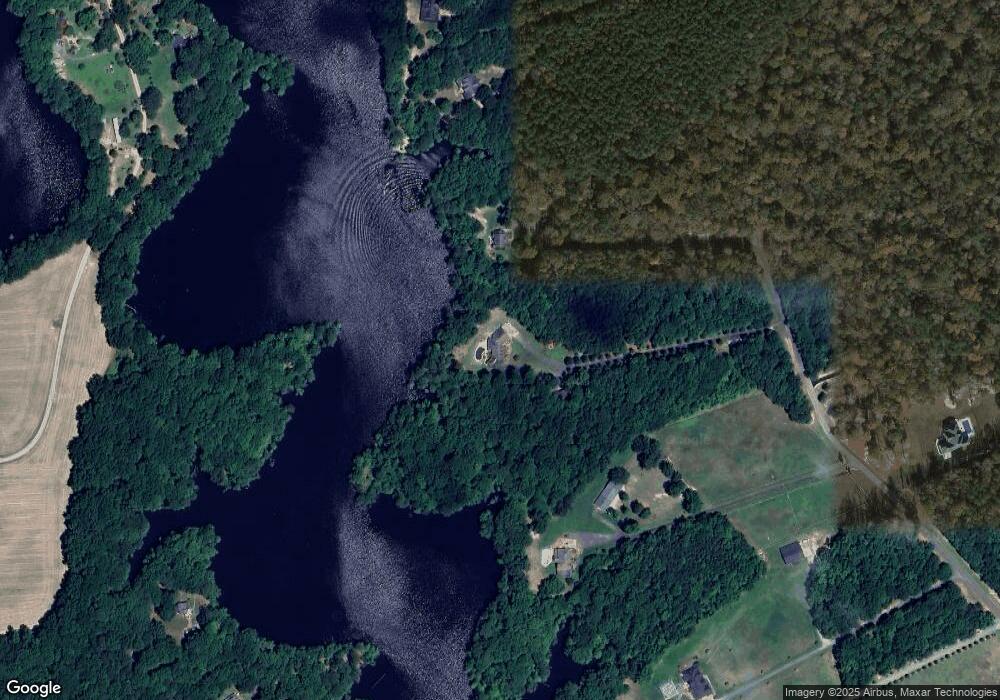
Map
Nearby Homes
- 25.5AC Woodland Dr
- 14494 Bowling Green Rd
- 4387 Lake Prince Dr
- PAR A Holland Dr
- 12199 Ava Ln
- MM Raleigh
- MM Windsor Station (Drexel)
- MM Davidson
- MM Asheboro
- MM Roanoke
- MM Caldwell
- MM Mcdowell
- MM Charleston
- TBD Shady Pine Ln
- 100 Longview Cir
- 153 American Way
- 4940 Exeter Dr
- 5529 Godwin Blvd
- 5544 Godwin Blvd
- 120 Eagle Ln
- 15433 Mills Pointe Ln
- 15407 Mills Pointe Ln
- 19667 Morris Point Ln
- 19667 Morris Point Ln
- 19667 Morris Point Ln
- 19667 Morris Point Ln
- 19677 Morris Point Ln
- 15405 Mills Pointe Ln
- 15333 Burnt Mills Ln
- 15392 Loblolly Ln
- 15341 Burnt Mills Ln
- 15410 Mills Pointe Ln
- 15414 Mills Pointe Ln
- 15403 Mills Pointe Ln
- 15401 Loblolly Ln
- 15397 Burnt Mills Ln
- 15290 Loblolly Ln
- 15430 Loblolly Ln
- 15349 Burnt Mills Ln
- 15411 Loblolly Ln