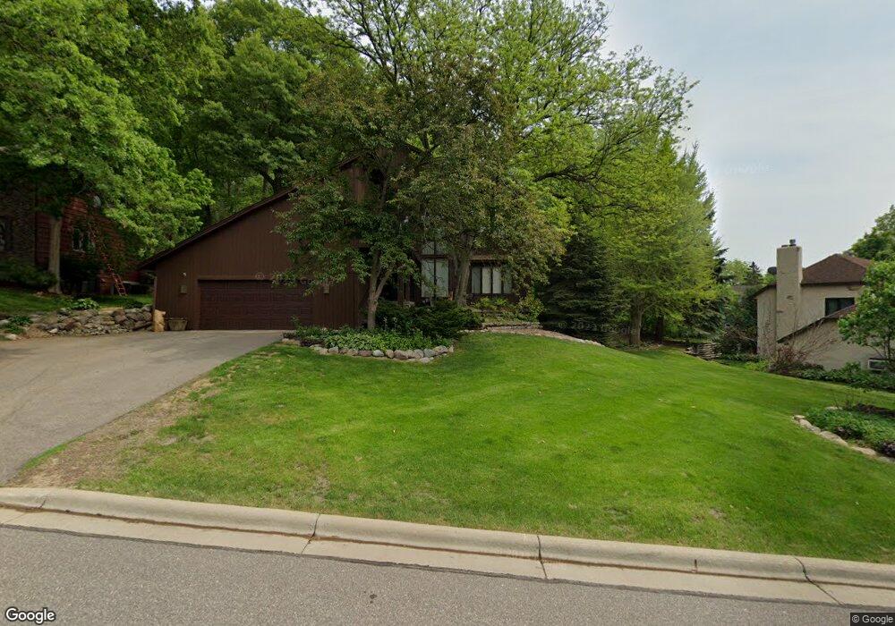
15425 Bryant Ave S Burnsville, MN 55306
Estimated Value: $485,573 - $531,000
3
Beds
4
Baths
2,876
Sq Ft
$176/Sq Ft
Est. Value
About This Home
This home is located at 15425 Bryant Ave S, Burnsville, MN 55306 and is currently estimated at $505,143, approximately $175 per square foot. 15425 Bryant Ave S is a home located in Dakota County with nearby schools including Impact Academy at Orchard Lake Elementary School, Kenwood Trail Middle School, and Lakeville South High School.
Ownership History
Date
Name
Owned For
Owner Type
Purchase Details
Closed on
Feb 9, 2022
Sold by
Brooks John and Brooks Kyle
Bought by
Ingalls Jacob
Current Estimated Value
Home Financials for this Owner
Home Financials are based on the most recent Mortgage that was taken out on this home.
Original Mortgage
$361,691
Outstanding Balance
$335,898
Interest Rate
3.56%
Mortgage Type
New Conventional
Estimated Equity
$169,245
Purchase Details
Closed on
Jun 26, 2019
Sold by
Brooks John Winslow and Brooks Kyle T
Bought by
Brooks John Winslow and Brooks Kyle T
Create a Home Valuation Report for This Property
The Home Valuation Report is an in-depth analysis detailing your home's value as well as a comparison with similar homes in the area
Home Values in the Area
Average Home Value in this Area
Purchase History
| Date | Buyer | Sale Price | Title Company |
|---|---|---|---|
| Ingalls Jacob | $525,000 | -- | |
| Brooks John Winslow | -- | None Available |
Source: Public Records
Mortgage History
| Date | Status | Borrower | Loan Amount |
|---|---|---|---|
| Open | Ingalls Jacob | $361,691 |
Source: Public Records
Tax History Compared to Growth
Tax History
| Year | Tax Paid | Tax Assessment Tax Assessment Total Assessment is a certain percentage of the fair market value that is determined by local assessors to be the total taxable value of land and additions on the property. | Land | Improvement |
|---|---|---|---|---|
| 2024 | $6,910 | $441,600 | $105,700 | $335,900 |
| 2023 | $6,910 | $453,500 | $116,100 | $337,400 |
| 2022 | $4,956 | $422,900 | $115,800 | $307,100 |
| 2021 | $4,672 | $369,800 | $100,700 | $269,100 |
| 2020 | $4,930 | $342,300 | $95,900 | $246,400 |
| 2019 | $4,497 | $344,000 | $91,400 | $252,600 |
| 2018 | $4,344 | $322,400 | $87,000 | $235,400 |
| 2017 | $4,208 | $308,000 | $82,900 | $225,100 |
| 2016 | $3,898 | $289,500 | $78,900 | $210,600 |
| 2015 | $3,714 | $268,723 | $73,332 | $195,391 |
| 2014 | -- | $270,576 | $72,051 | $198,525 |
| 2013 | -- | $246,269 | $65,236 | $181,033 |
Source: Public Records
Map
Nearby Homes
- 1005 Hilloway Cir
- 15455 Fremont Ave S
- 594 Stonewood Ln
- 15203 Greenhaven Way
- 344 Stonewood Place
- 900 Windemere Way
- 15017 Orchard Dr
- 15003 Windemere Ln
- 15100 Eileen Cir
- 15080 Buck Hill Rd
- 101 Oak Shore Dr
- 15250 Stevens Ave
- 1212 Hillside Ln
- 16045 Oak Shore Dr
- 230 Maple Island Rd
- 14815 County Road 5
- 313 Maple Island Rd
- 300 Butternut Ln
- 11145 Lower 167th St W
- 2204 Wildwood Ct
- 15421 Bryant Ave S
- 15501 Bryant Ave S
- 15505 Bryant Ave S
- 15505 15505 Bryant-Avenue-s
- 15420 Bryant Ave S
- 15417 Bryant Ave S
- 15424 Bryant Ave S
- 15416 Bryant Ave S
- 15509 Bryant Ave S
- 900 W 155th St
- 901 W 155th St
- 901 155th St W
- 15413 Bryant Ave S
- 15412 Bryant Ave S
- 15504 Bryant Ave S
- 15513 Bryant Ave S
- 949 Rivage Ln
- 905 W 155th St
- 15508 Bryant Ave S
- 15508 15508 Bryant-Avenue-s