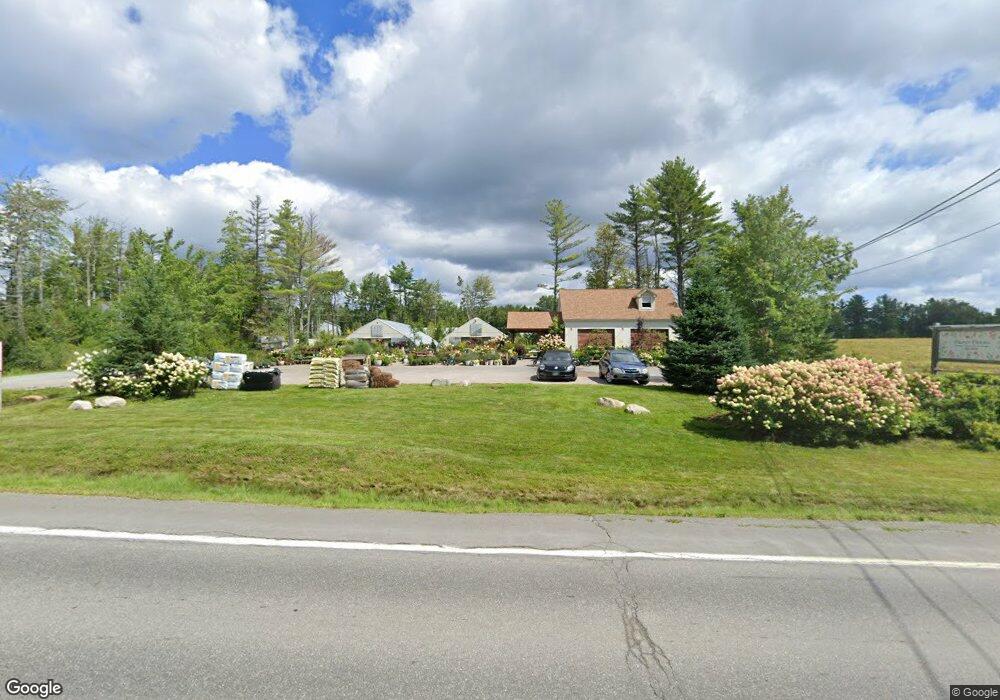
1543 State Highway 102 Bar Harbor, ME 04609
Estimated Value: $285,109
--
Bed
1
Bath
360
Sq Ft
$792/Sq Ft
Est. Value
About This Home
This home is located at 1543 State Highway 102, Bar Harbor, ME 04609 and is currently estimated at $285,109, approximately $791 per square foot. 1543 State Highway 102 is a home located in Hancock County with nearby schools including Conners-Emerson School and Mt. Desert Island High School.
Ownership History
Date
Name
Owned For
Owner Type
Purchase Details
Closed on
May 16, 2017
Sold by
Blueberry Partners Llc
Bought by
Frost Farms Llc
Current Estimated Value
Purchase Details
Closed on
Oct 1, 2015
Sold by
Triangle Development Llc
Bought by
Frost Farms Llc
Home Financials for this Owner
Home Financials are based on the most recent Mortgage that was taken out on this home.
Original Mortgage
$204,000
Interest Rate
3.95%
Mortgage Type
Commercial
Create a Home Valuation Report for This Property
The Home Valuation Report is an in-depth analysis detailing your home's value as well as a comparison with similar homes in the area
Home Values in the Area
Average Home Value in this Area
Purchase History
| Date | Buyer | Sale Price | Title Company |
|---|---|---|---|
| Frost Farms Llc | -- | -- | |
| Frost Farms Llc | -- | -- |
Source: Public Records
Mortgage History
| Date | Status | Borrower | Loan Amount |
|---|---|---|---|
| Closed | Frost Farms Llc | $204,000 |
Source: Public Records
Tax History Compared to Growth
Tax History
| Year | Tax Paid | Tax Assessment Tax Assessment Total Assessment is a certain percentage of the fair market value that is determined by local assessors to be the total taxable value of land and additions on the property. | Land | Improvement |
|---|---|---|---|---|
| 2024 | $3,098 | $308,600 | $196,200 | $112,400 |
| 2023 | $2,679 | $308,600 | $196,200 | $112,400 |
| 2022 | $2,434 | $261,200 | $166,000 | $95,200 |
| 2021 | $2,261 | $232,100 | $150,900 | $81,200 |
| 2020 | $2,294 | $192,800 | $128,400 | $64,400 |
| 2019 | $2,262 | $190,900 | $127,100 | $63,800 |
| 2018 | $2,207 | $190,900 | $127,100 | $63,800 |
| 2017 | $2,092 | $190,900 | $127,100 | $63,800 |
| 2016 | $2,041 | $190,200 | $127,100 | $63,100 |
| 2015 | $1,787 | $168,700 | $127,100 | $41,600 |
| 2014 | $1,365 | $133,600 | $127,100 | $6,500 |
| 2012 | $1,315 | $133,600 | $127,100 | $6,500 |
Source: Public Records
Map
Nearby Homes
- 1439 State Highway 102
- Lot 79-01 Knox Rd
- 16 Blodgett Ln
- 16 Blodgett Dr
- 159 Gilbert Farm Rd
- 40 Fern Meadow Dr
- 27 M J Ln
- Lot 3 Belle Grande Dr
- Lot 4 Belle Grande Dr
- Lot 38 Arrowhead Rd
- 37 Hanna Dr
- 39 Kitteridge Brook Rd
- 0 Country Way
- 001-108 Oak Point Rd
- 32-3 Seabury Dr
- 32-2 Seabury Dr
- 32-1 Seabury Dr
- Lot 001 Crooked Rd
- 20 Abby Ln
- 363 Oak Point Rd
- 1541 State Highway 102
- 1569 State Highway 102
- 15 Seascape Rd
- 1571 State Highway 102
- 28 Western Bay Rd
- 25 Right of Way Rd
- 1498 State Highway 102
- 317 Gilbert Farm Rd
- 11 Clark Cove Rd
- 0 Gilbert Farm Rd
- 1491 State Highway 102
- 328 Gilbert Farm Rd
- 1492 State Highway 102
- 326 Gilbert Farm Rd
- 291 Gilbert Farm Rd
- 1489 State Highway 102
- 1489 Maine 102
- 39 Clark Cove Rd
- 1473 State Highway 102
- 1480 State Highway 102