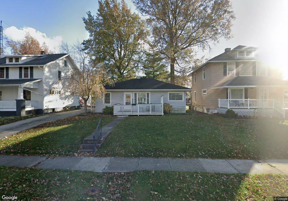
1543 W Wayne St Lima, OH 45805
Westgate NeighborhoodEstimated Value: $113,559 - $137,000
1
Bed
1
Bath
952
Sq Ft
$130/Sq Ft
Est. Value
About This Home
This home is located at 1543 W Wayne St, Lima, OH 45805 and is currently estimated at $123,890, approximately $130 per square foot. 1543 W Wayne St is a home located in Allen County with nearby schools including Heritage Elementary School, Lima West Middle School, and Lima North Middle School.
Ownership History
Date
Name
Owned For
Owner Type
Purchase Details
Closed on
May 13, 2019
Sold by
Edwards Martha M
Bought by
Weaver Rhonda S and Edwards Curtis E
Current Estimated Value
Purchase Details
Closed on
Oct 7, 1997
Sold by
Seaton Betty
Bought by
Edwards Martha
Home Financials for this Owner
Home Financials are based on the most recent Mortgage that was taken out on this home.
Original Mortgage
$43,417
Outstanding Balance
$7,031
Interest Rate
7.54%
Mortgage Type
FHA
Estimated Equity
$116,859
Purchase Details
Closed on
Jan 1, 1990
Bought by
Seaton William J
Create a Home Valuation Report for This Property
The Home Valuation Report is an in-depth analysis detailing your home's value as well as a comparison with similar homes in the area
Home Values in the Area
Average Home Value in this Area
Purchase History
| Date | Buyer | Sale Price | Title Company |
|---|---|---|---|
| Weaver Rhonda S | -- | None Available | |
| Edwards Martha | $43,000 | -- | |
| Seaton William J | -- | -- |
Source: Public Records
Mortgage History
| Date | Status | Borrower | Loan Amount |
|---|---|---|---|
| Open | Edwards Martha | $43,417 |
Source: Public Records
Tax History Compared to Growth
Tax History
| Year | Tax Paid | Tax Assessment Tax Assessment Total Assessment is a certain percentage of the fair market value that is determined by local assessors to be the total taxable value of land and additions on the property. | Land | Improvement |
|---|---|---|---|---|
| 2024 | $664 | $27,020 | $5,810 | $21,210 |
| 2023 | $535 | $20,790 | $4,480 | $16,310 |
| 2022 | $553 | $20,790 | $4,480 | $16,310 |
| 2021 | $581 | $20,790 | $4,480 | $16,310 |
| 2020 | $671 | $21,390 | $4,310 | $17,080 |
| 2019 | $671 | $21,390 | $4,310 | $17,080 |
| 2018 | $660 | $21,390 | $4,310 | $17,080 |
| 2017 | $673 | $21,390 | $4,310 | $17,080 |
| 2016 | $677 | $21,390 | $4,310 | $17,080 |
| 2015 | $597 | $21,390 | $4,310 | $17,080 |
| 2014 | $597 | $19,670 | $4,270 | $15,400 |
| 2013 | $582 | $19,670 | $4,270 | $15,400 |
Source: Public Records
Map
Nearby Homes
- 1517 Allentown Rd
- 1703 W Wayne St
- 1459 W Market St
- 120 S Woodlawn Ave
- 621 Fairfield Dr
- 1630 W Market St
- 109 N Pears Ave
- 1206 Rice Ave
- 1120 Richie Ave
- 233 S Kenilworth Ave
- 1912 Hillcrest Dr
- 1036 W High St
- 2100 University Blvd
- 1719 Latham Ave
- 1753 Leland Ave
- 1524 Wendell Ave
- 1023 Leland Ave
- 234 S Westwood Dr
- 2050 W Market St
- 209 N Dale Dr
- 1539 W Wayne St
- 1547 W Wayne St
- 1535 W Wayne St
- 1531 W Wayne St
- 1553 W Wayne St
- 1540 Oakland Pkwy
- 1542 W Wayne St
- 1546 W Wayne St
- 1550 W Wayne St
- 1536 Oakland Pkwy
- 1544 Oakland Pkwy
- 1525 W Wayne St
- 1534 W Wayne St
- 1530 W Wayne St
- 1565 W Wayne St
- 1554 W Wayne St
- 1546 Oakland Pkwy
- 1517 W Wayne St
- 1558 W Wayne St