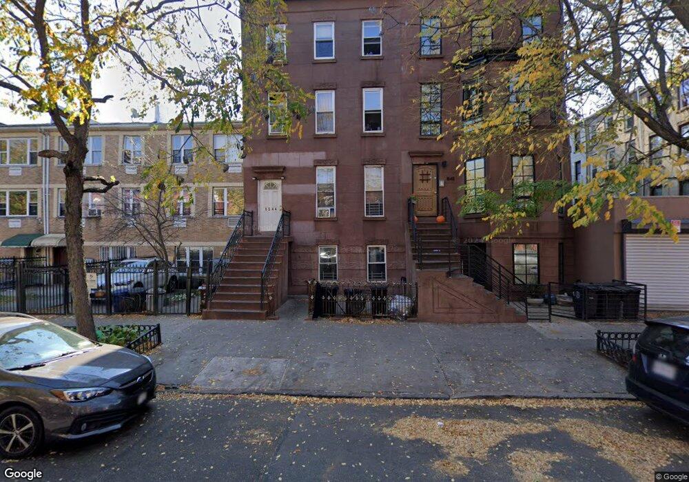
1544 Pacific St Unit 2 Brooklyn, NY 11213
Crown Heights NeighborhoodEstimated Value: $1,437,000 - $2,296,000
3
Beds
1
Bath
--
Sq Ft
--
Built
About This Home
This home is located at 1544 Pacific St Unit 2, Brooklyn, NY 11213 and is currently estimated at $1,973,333. 1544 Pacific St Unit 2 is a home located in Kings County with nearby schools including P.S. 243K- The Weeksville School and KIPP AMP Middle School.
Ownership History
Date
Name
Owned For
Owner Type
Purchase Details
Closed on
Jul 3, 2025
Sold by
Earle Debora and Laing Sharon
Bought by
Earle Debora
Current Estimated Value
Home Financials for this Owner
Home Financials are based on the most recent Mortgage that was taken out on this home.
Original Mortgage
$730,000
Outstanding Balance
$728,754
Interest Rate
6.81%
Mortgage Type
Purchase Money Mortgage
Estimated Equity
$1,244,579
Purchase Details
Closed on
Nov 27, 2001
Sold by
Plaza Homes Llc
Bought by
Earle Debora and Laing Sharon
Home Financials for this Owner
Home Financials are based on the most recent Mortgage that was taken out on this home.
Original Mortgage
$343,607
Interest Rate
6.72%
Purchase Details
Closed on
Aug 23, 2000
Sold by
Bolling Lula Marie
Bought by
Plaza Homes Llc
Create a Home Valuation Report for This Property
The Home Valuation Report is an in-depth analysis detailing your home's value as well as a comparison with similar homes in the area
Home Values in the Area
Average Home Value in this Area
Purchase History
| Date | Buyer | Sale Price | Title Company |
|---|---|---|---|
| Earle Debora | -- | -- | |
| Earle Debora | -- | -- | |
| Earle Debora | -- | -- | |
| Plaza Homes Llc | $95,000 | First American Title Ins Co | |
| Plaza Homes Llc | $95,000 | First American Title Ins Co |
Source: Public Records
Mortgage History
| Date | Status | Borrower | Loan Amount |
|---|---|---|---|
| Open | Earle Debora | $730,000 | |
| Closed | Earle Debora | $343,607 |
Source: Public Records
Tax History Compared to Growth
Tax History
| Year | Tax Paid | Tax Assessment Tax Assessment Total Assessment is a certain percentage of the fair market value that is determined by local assessors to be the total taxable value of land and additions on the property. | Land | Improvement |
|---|---|---|---|---|
| 2025 | $13,152 | $166,020 | $22,320 | $143,700 |
| 2024 | $13,152 | $131,160 | $22,320 | $108,840 |
| 2023 | $12,546 | $124,560 | $22,320 | $102,240 |
| 2022 | $12,332 | $101,940 | $22,320 | $79,620 |
| 2021 | $12,903 | $111,780 | $22,320 | $89,460 |
| 2020 | $9,677 | $135,540 | $22,320 | $113,220 |
| 2019 | $11,415 | $121,980 | $22,320 | $99,660 |
| 2018 | $10,494 | $51,480 | $10,074 | $41,406 |
| 2017 | $10,494 | $51,480 | $14,410 | $37,070 |
| 2016 | $10,214 | $51,094 | $17,310 | $33,784 |
| 2015 | $6,209 | $48,202 | $24,486 | $23,716 |
| 2014 | $6,209 | $45,474 | $23,653 | $21,821 |
Source: Public Records
Map
Nearby Homes
- 1614 Atlantic Ave
- 1607 Pacific St Unit 3 A
- 1582A Pacific St
- 9 Agate Ct
- 1456 Dean St
- 4 Alice Ct
- 1360 Bergen St
- 22 Hattie Jones Ct
- 385 Herkimer St
- 359 Herkimer St
- 106 Decatur St
- 903 Saint Marks Ave
- 926 St Marks Ave
- 1377 Dean St Unit B
- 1377 Dean St Unit A
- 137 Decatur St
- 1735 Pacific St
- 1269 Bergen St Unit HSE
- 1370 Dean St Unit B
- 1370 Dean St Unit PHD
- 1544 Pacific St
- 1546 Pacific St
- 1546 Pacific St Unit 2
- 1546 Pacific St Unit 3
- 1542 Pacific St
- 1542 Pacific St Unit 2
- 1542 Pacific St Unit 3
- 1548 Pacific St
- 1548 Pacific St Unit 3
- 1550 Pacific St
- 111 Albany Ave Unit 4
- 113 Albany Ave
- 109 Albany Ave Unit 4
- 109 Albany Ave
- 109 Albany Ave Unit 3
- 109 Albany Ave Unit 1
- 109 Albany Ave Unit 2
- 115 Albany Ave Unit 4
- 107 Albany Ave Unit 4
- 107 Albany Ave Unit 3