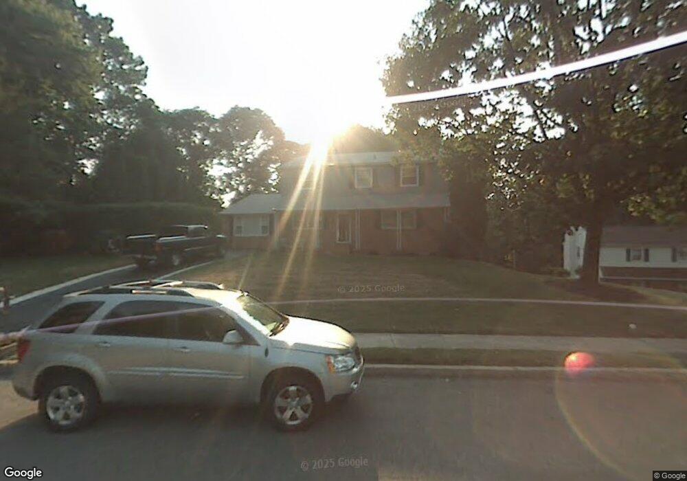
1545 Caroline Dr Aston, PA 19014
Estimated Value: $562,000 - $632,000
4
Beds
4
Baths
2,580
Sq Ft
$230/Sq Ft
Est. Value
About This Home
This home is located at 1545 Caroline Dr, Aston, PA 19014 and is currently estimated at $593,333, approximately $229 per square foot. 1545 Caroline Dr is a home located in Delaware County with nearby schools including St. Thomas Apostle School.
Ownership History
Date
Name
Owned For
Owner Type
Purchase Details
Closed on
Apr 30, 2004
Sold by
Cipollini John M
Bought by
Wright David and Wright Diane
Current Estimated Value
Home Financials for this Owner
Home Financials are based on the most recent Mortgage that was taken out on this home.
Original Mortgage
$220,000
Outstanding Balance
$102,132
Interest Rate
5.36%
Mortgage Type
Fannie Mae Freddie Mac
Estimated Equity
$491,201
Create a Home Valuation Report for This Property
The Home Valuation Report is an in-depth analysis detailing your home's value as well as a comparison with similar homes in the area
Home Values in the Area
Average Home Value in this Area
Purchase History
| Date | Buyer | Sale Price | Title Company |
|---|---|---|---|
| Wright David | $300,000 | Commonwealth Title |
Source: Public Records
Mortgage History
| Date | Status | Borrower | Loan Amount |
|---|---|---|---|
| Open | Wright David | $220,000 |
Source: Public Records
Tax History Compared to Growth
Tax History
| Year | Tax Paid | Tax Assessment Tax Assessment Total Assessment is a certain percentage of the fair market value that is determined by local assessors to be the total taxable value of land and additions on the property. | Land | Improvement |
|---|---|---|---|---|
| 2025 | $9,481 | $365,360 | $98,020 | $267,340 |
| 2024 | $9,481 | $365,360 | $98,020 | $267,340 |
| 2023 | $9,056 | $365,360 | $98,020 | $267,340 |
| 2022 | $8,732 | $365,360 | $98,020 | $267,340 |
| 2021 | $13,476 | $365,360 | $98,020 | $267,340 |
| 2020 | $7,295 | $178,610 | $58,240 | $120,370 |
| 2019 | $7,155 | $178,610 | $58,240 | $120,370 |
| 2018 | $6,851 | $178,610 | $0 | $0 |
| 2017 | $6,706 | $178,610 | $0 | $0 |
| 2016 | $980 | $178,610 | $0 | $0 |
| 2015 | $1,000 | $178,610 | $0 | $0 |
| 2014 | $980 | $178,610 | $0 | $0 |
Source: Public Records
Map
Nearby Homes
- 3 Rolling Heights Ln
- 346 Lenni Rd
- 305 Crozerville Rd
- 220 Spring Valley Way
- 234 Elm Ave
- 21 Hoag Ln
- 117 Segel Dr
- 131 Junction Rd
- 277 W Baltimore Pike
- 214 Bishop Dr
- 208 S Pennell Rd
- 198 Bishop Dr
- 206 Chestnut Ave
- 103 Valleybrook Rd
- 440 Derry Dr Unit 440
- 268 Miley Rd Unit 268
- 237 Harvey Ln
- 21 Eusden Dr
- 108 Grace Ln
- 242 Moria Place
- 1535 Caroline Dr
- 1550 Caroline Dr
- 1525 Caroline Dr
- 1520 Caroline Dr
- 1530 Caroline Dr
- 0 Caroline Dr
- 691 Lenni Rd
- 1540 Caroline Dr
- 1515 Caroline Dr
- 693 Lenni Rd
- 1510 Caroline Dr
- 689 Lenni Rd
- 1560 Erb Dr
- 1551 Caroline Dr
- lot 2 Sickles Dr
- 1555 Caroline Dr
- 1565 Erb Dr
- Lot 3 Sickles Dr
- 1500 Caroline Dr
- 1505 Caroline Dr