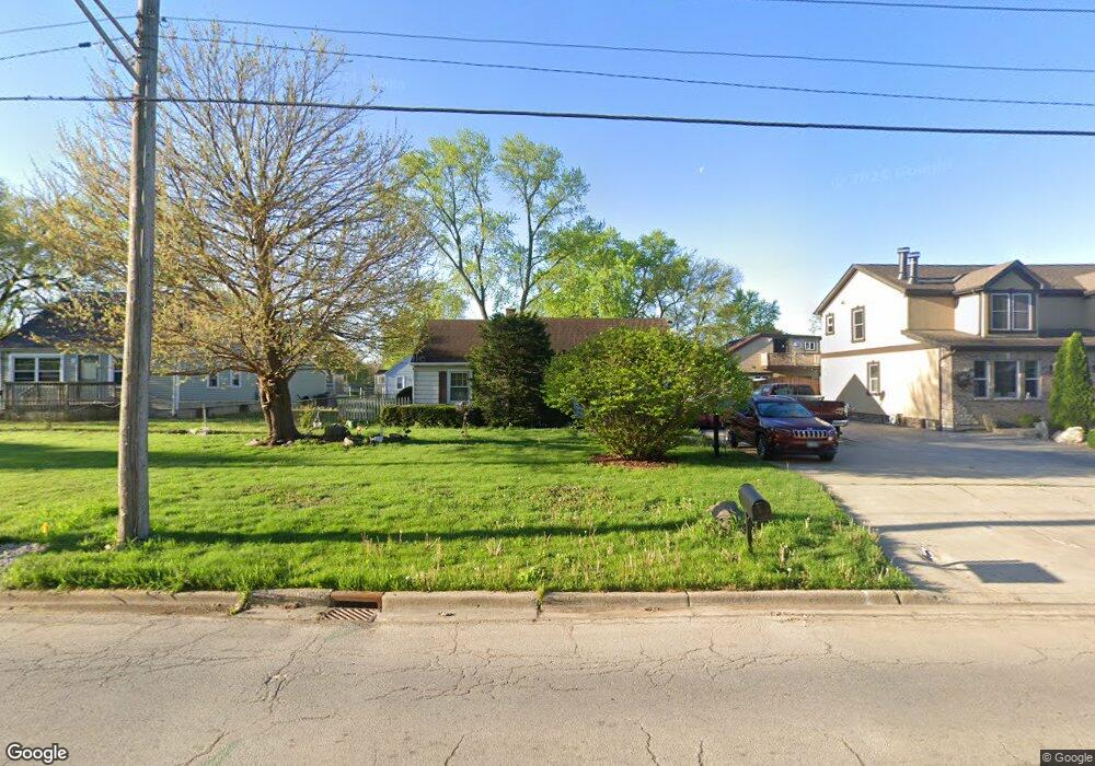
1545 Liberty St Aurora, IL 60505
Light of the Community NeighborhoodEstimated Value: $161,000 - $195,875
2
Beds
1
Bath
750
Sq Ft
$247/Sq Ft
Est. Value
About This Home
This home is located at 1545 Liberty St, Aurora, IL 60505 and is currently estimated at $185,219, approximately $246 per square foot. 1545 Liberty St is a home located in Kane County with nearby schools including CI Johnson Elementary School, Henry W Cowherd Middle School, and East Aurora High School.
Ownership History
Date
Name
Owned For
Owner Type
Purchase Details
Closed on
Sep 23, 2011
Sold by
Myler Charles J
Bought by
Mccaslin Keith and Mccaslin Mary J
Current Estimated Value
Home Financials for this Owner
Home Financials are based on the most recent Mortgage that was taken out on this home.
Original Mortgage
$34,000
Outstanding Balance
$2,976
Interest Rate
4.12%
Mortgage Type
New Conventional
Estimated Equity
$182,243
Create a Home Valuation Report for This Property
The Home Valuation Report is an in-depth analysis detailing your home's value as well as a comparison with similar homes in the area
Home Values in the Area
Average Home Value in this Area
Purchase History
| Date | Buyer | Sale Price | Title Company |
|---|---|---|---|
| Mccaslin Keith | $64,000 | Chicago Title Insurance Co |
Source: Public Records
Mortgage History
| Date | Status | Borrower | Loan Amount |
|---|---|---|---|
| Open | Mccaslin Keith | $34,000 |
Source: Public Records
Tax History Compared to Growth
Tax History
| Year | Tax Paid | Tax Assessment Tax Assessment Total Assessment is a certain percentage of the fair market value that is determined by local assessors to be the total taxable value of land and additions on the property. | Land | Improvement |
|---|---|---|---|---|
| 2024 | -- | $44,430 | $6,745 | $37,685 |
| 2023 | -- | $39,698 | $6,027 | $33,671 |
| 2022 | $311 | $36,221 | $5,499 | $30,722 |
| 2021 | $331 | $33,723 | $5,120 | $28,603 |
| 2020 | $341 | $31,324 | $4,756 | $26,568 |
| 2019 | $361 | $31,019 | $4,407 | $26,612 |
| 2018 | $373 | $25,997 | $4,076 | $21,921 |
| 2017 | $402 | $20,692 | $3,756 | $16,936 |
| 2016 | $431 | $17,900 | $3,220 | $14,680 |
| 2015 | -- | $16,505 | $2,769 | $13,736 |
| 2014 | -- | $15,095 | $2,545 | $12,550 |
| 2013 | -- | $16,234 | $2,560 | $13,674 |
Source: Public Records
Map
Nearby Homes
- 360 Catherine St
- 1611 Indian Ave
- 131 N Kendall St
- 1900 E New York St
- 49 N Calhoun St
- 42 N Farnsworth Ave
- 1038 Liberty St
- 110 N Loucks St
- 15 N Sumner Ave
- 215 N Ohio St
- 226 N Ohio St
- 1035 Dearborn Ave
- 1045 Grand Blvd
- 271 N Smith St
- 15 Hill Ave
- 2235 Cheshire Dr
- 167 Forestview Ct
- 172 N East Ave
- 2279 Reflections Dr Unit 1208
- 949 E Benton St
- 1547 Liberty St
- 1543 Liberty St
- 268 Beckwith St
- 1541 Liberty St
- 267 Hillside Ave
- 260 Beckwith St
- 261 Hillside Ave
- 1601 Liberty St
- 1544 Liberty St
- 256 Beckwith St
- 1536 Liberty St
- 1546 Liberty St
- 255 Hillside Ave
- 1525 Liberty St
- 257 Beckwith St
- 1530 Liberty St
- 250 Beckwith St
- 1524 Liberty St
- 1521 Liberty St
- 268 Hillside Ave