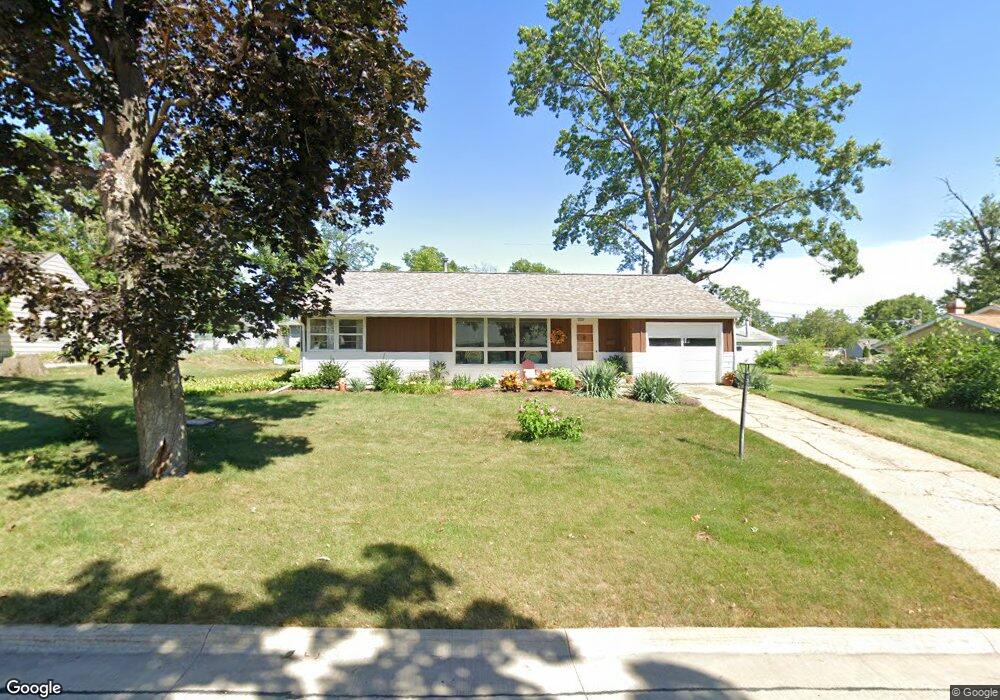
1545 Maplecrest Dr Marion, IA 52302
Estimated Value: $173,000 - $189,000
3
Beds
1
Bath
1,228
Sq Ft
$147/Sq Ft
Est. Value
About This Home
This home is located at 1545 Maplecrest Dr, Marion, IA 52302 and is currently estimated at $180,888, approximately $147 per square foot. 1545 Maplecrest Dr is a home located in Linn County with nearby schools including Longfellow Elementary, Francis Marion Intermediate School, and Vernon Middle School.
Ownership History
Date
Name
Owned For
Owner Type
Purchase Details
Closed on
Jan 8, 2010
Sold by
Tim Good Inc
Bought by
Burns Terri S
Current Estimated Value
Home Financials for this Owner
Home Financials are based on the most recent Mortgage that was taken out on this home.
Original Mortgage
$74,988
Outstanding Balance
$48,162
Interest Rate
4.84%
Mortgage Type
New Conventional
Estimated Equity
$132,726
Purchase Details
Closed on
Dec 29, 2005
Sold by
Good Timothy J and Good Michelle
Bought by
Tim Good Inc
Purchase Details
Closed on
Oct 16, 2002
Sold by
Watson Steven B
Bought by
Good Timothy J and Sherman Aaron
Create a Home Valuation Report for This Property
The Home Valuation Report is an in-depth analysis detailing your home's value as well as a comparison with similar homes in the area
Home Values in the Area
Average Home Value in this Area
Purchase History
| Date | Buyer | Sale Price | Title Company |
|---|---|---|---|
| Burns Terri S | $93,500 | None Available | |
| Tim Good Inc | $24,500 | None Available | |
| Good Timothy J | $71,500 | -- |
Source: Public Records
Mortgage History
| Date | Status | Borrower | Loan Amount |
|---|---|---|---|
| Open | Burns Terri S | $74,988 | |
| Closed | Good Timothy J | $0 |
Source: Public Records
Tax History
| Year | Tax Paid | Tax Assessment Tax Assessment Total Assessment is a certain percentage of the fair market value that is determined by local assessors to be the total taxable value of land and additions on the property. | Land | Improvement |
|---|---|---|---|---|
| 2025 | $2,838 | $181,000 | $27,200 | $153,800 |
| 2024 | $2,860 | $168,700 | $27,200 | $141,500 |
| 2023 | $2,860 | $168,700 | $27,200 | $141,500 |
| 2022 | $2,762 | $137,400 | $27,200 | $110,200 |
| 2021 | $2,682 | $137,400 | $27,200 | $110,200 |
| 2020 | $2,682 | $127,200 | $27,200 | $100,000 |
| 2019 | $2,478 | $118,500 | $27,200 | $91,300 |
Source: Public Records
Map
Nearby Homes
- 1540 Northview Dr
- 1580 Northview Dr
- 1500 Northview Dr
- 1620 Northview Dr
- 1677 Maplecrest Dr
- 1990 15th Ave
- 1600 Maplecrest Dr
- 1690 Northview Dr
- 1495 Maplecrest Dr
- 2767 Roycroft Dr
- 2028 Royal Oak Ridge Rd
- 2197 Royal Oakridge Rd
- 2752 Roycroft Dr
- 2728 Roycroft Dr
- 2694 Roycroft Dr
- 1680 Maplecrest Dr
- 1494 Northview Dr
- 1535 Douglas Ct
- 1455 Maplecrest Dr
- 1490 Maplecrest Dr
Your Personal Tour Guide
Ask me questions while you tour the home.