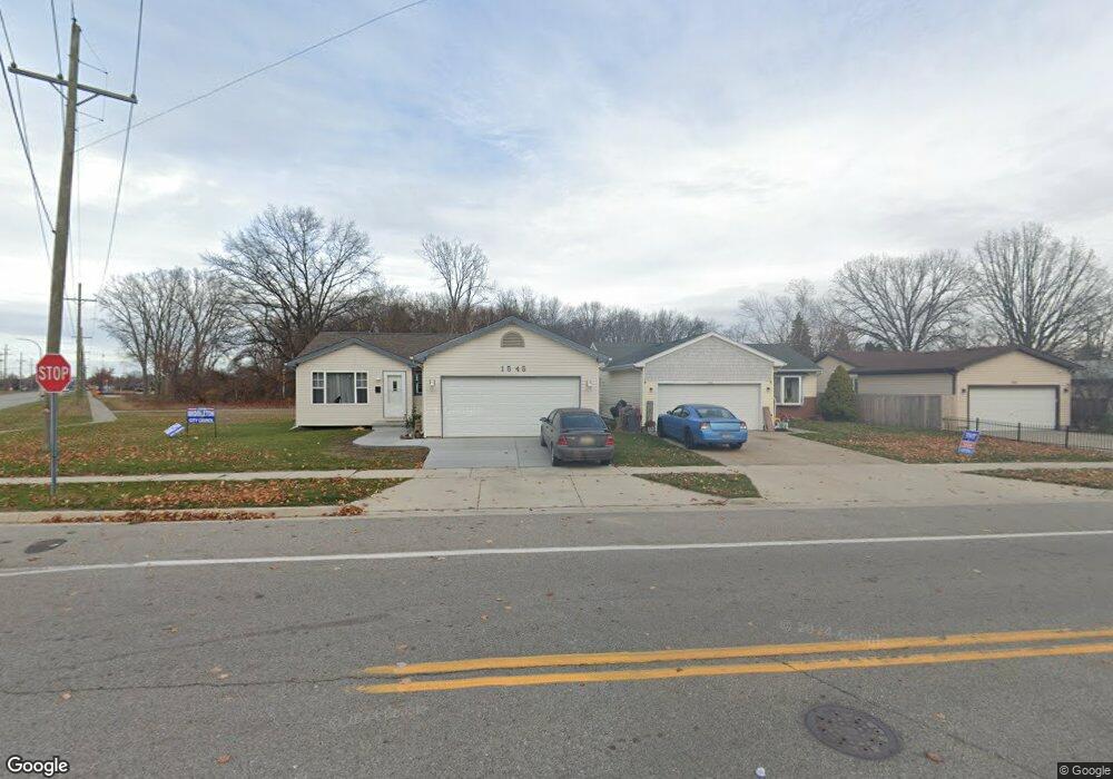
1545 Reid Ave Port Huron, MI 48060
Estimated Value: $164,641 - $172,000
2
Beds
1
Bath
1,030
Sq Ft
$164/Sq Ft
Est. Value
About This Home
This home is located at 1545 Reid Ave, Port Huron, MI 48060 and is currently estimated at $169,160, approximately $164 per square foot. 1545 Reid Ave is a home located in St. Clair County with nearby schools including Michigamme Elementary School, Central Middle School, and Port Huron High School.
Ownership History
Date
Name
Owned For
Owner Type
Purchase Details
Closed on
May 31, 2011
Sold by
Department Of Housing & Urban Developmen
Bought by
Nelson Penny L
Current Estimated Value
Purchase Details
Closed on
Sep 15, 2010
Sold by
Chase Home Finance Llc
Bought by
The Secretary Of Housing & Urban Develop
Purchase Details
Closed on
Aug 5, 2010
Sold by
Closs David Allan
Bought by
Chase Home Finance Llc
Purchase Details
Closed on
Sep 19, 2006
Sold by
Howell Banks Cheryl L
Bought by
Class David Allan
Home Financials for this Owner
Home Financials are based on the most recent Mortgage that was taken out on this home.
Original Mortgage
$110,129
Interest Rate
6.59%
Mortgage Type
FHA
Purchase Details
Closed on
Aug 29, 2005
Sold by
Banks Corey T
Bought by
Howell Banks Cherye L
Create a Home Valuation Report for This Property
The Home Valuation Report is an in-depth analysis detailing your home's value as well as a comparison with similar homes in the area
Home Values in the Area
Average Home Value in this Area
Purchase History
| Date | Buyer | Sale Price | Title Company |
|---|---|---|---|
| Nelson Penny L | $27,100 | None Available | |
| The Secretary Of Housing & Urban Develop | -- | None Available | |
| Chase Home Finance Llc | $117,964 | None Available | |
| Class David Allan | $111,000 | Metropolitan Title Company | |
| Howell Banks Cherye L | -- | None Available |
Source: Public Records
Mortgage History
| Date | Status | Borrower | Loan Amount |
|---|---|---|---|
| Previous Owner | Class David Allan | $110,129 |
Source: Public Records
Tax History Compared to Growth
Tax History
| Year | Tax Paid | Tax Assessment Tax Assessment Total Assessment is a certain percentage of the fair market value that is determined by local assessors to be the total taxable value of land and additions on the property. | Land | Improvement |
|---|---|---|---|---|
| 2025 | $2,636 | $74,000 | $0 | $0 |
| 2024 | $2,333 | $73,900 | $0 | $0 |
| 2023 | $2,183 | $65,600 | $0 | $0 |
| 2022 | $2,207 | $57,200 | $0 | $0 |
| 2021 | $2,107 | $52,100 | $0 | $0 |
| 2020 | $2,115 | $49,700 | $49,700 | $0 |
| 2019 | $2,077 | $36,400 | $0 | $0 |
| 2018 | $2,030 | $36,400 | $0 | $0 |
| 2017 | $1,864 | $32,900 | $0 | $0 |
| 2016 | $1,661 | $32,900 | $0 | $0 |
| 2015 | $1,630 | $32,800 | $32,800 | $0 |
| 2014 | $1,630 | $31,200 | $31,200 | $0 |
| 2013 | -- | $29,800 | $0 | $0 |
Source: Public Records
Map
Nearby Homes
- 2977 Military St
- 2815 Military St
- 1403 Catherine McAuley Dr
- 2718 Electric Ave
- 3136 Military St
- 2710 Electric Ave
- 1414 Beard St
- 2724 Military St
- 9999 Cleveland Ave
- 2704 Military St
- 2627 24th St
- 2411 10th St
- 2444 Military St
- 9999 24th St
- 823 Beard St
- 2506 Vanness St
- 2430 Military St Unit 2434
- Lot 3 24th St
- 2600 Vanness St
- 2203 VL Railroad St