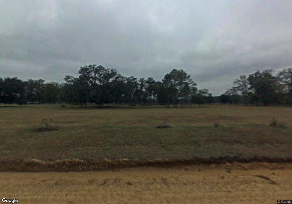
1545 Wade Rd Pelham, GA 31779
Estimated Value: $79,000 - $481,736
Studio
--
Bath
1,891
Sq Ft
$129/Sq Ft
Est. Value
About This Home
This home is located at 1545 Wade Rd, Pelham, GA 31779 and is currently estimated at $243,245, approximately $128 per square foot. 1545 Wade Rd is a home with nearby schools including Mitchell County Primary School, Mitchell County Elementary School, and Mitchell County Middle School.
Ownership History
Date
Name
Owned For
Owner Type
Purchase Details
Closed on
Jul 29, 2019
Sold by
Horne Ruby S
Bought by
Two Sisters And A Mule Land Co Llc
Current Estimated Value
Purchase Details
Closed on
Apr 13, 2017
Sold by
Horne William Irvin
Bought by
Horne Ruby S
Purchase Details
Closed on
Mar 24, 2017
Bought by
Horne William Irvin and Horne Ruby S
Purchase Details
Closed on
Mar 3, 2014
Sold by
Horne I William
Bought by
Two Sisters & A Mule Land Co
Purchase Details
Closed on
Aug 13, 2009
Sold by
Horne Ruby S
Bought by
Horne Ruby S and Horne William Irvin
Create a Home Valuation Report for This Property
The Home Valuation Report is an in-depth analysis detailing your home's value as well as a comparison with similar homes in the area
Purchase History
| Date | Buyer | Sale Price | Title Company |
|---|---|---|---|
| Two Sisters And A Mule Land Co Llc | -- | -- | |
| Horne Ruby S | -- | -- | |
| Horne William Irvin | -- | -- | |
| Two Sisters & A Mule Land Co | -- | -- | |
| Horne Ruby S | -- | -- |
Source: Public Records
Tax History Compared to Growth
Tax History
| Year | Tax Paid | Tax Assessment Tax Assessment Total Assessment is a certain percentage of the fair market value that is determined by local assessors to be the total taxable value of land and additions on the property. | Land | Improvement |
|---|---|---|---|---|
| 2024 | $3,745 | $148,656 | $57,440 | $91,216 |
| 2023 | $3,911 | $148,656 | $57,440 | $91,216 |
| 2022 | $4,703 | $135,176 | $57,440 | $77,736 |
| 2021 | $2,723 | $115,355 | $57,440 | $57,915 |
| 2020 | $2,112 | $98,195 | $57,440 | $40,755 |
| 2019 | $2,089 | $98,195 | $57,440 | $40,755 |
| 2018 | $3,578 | $98,235 | $57,480 | $40,755 |
| 2017 | $2,003 | $100,364 | $57,491 | $42,873 |
Source: Public Records
Map
Nearby Homes
- 6203 Mount Olive Rd
- 1067 Wade Rd
- 0 Wade Rd
- 4761 Georgia 65
- 4749 Georgia 65
- 4702 Georgia 65
- 4242 Georgia 262
- 5854 Mount Olive Rd
- 5949 Research Rd
- 2876 Old Pelham Rd
- 0 Old Ga Highway 3
- 7268 Lodgetown Rd
- 425 Hollis St SW
- 653 Liberia St NW
- 410 Hollis St SW
- 389 Stewart St SW
- 443 Stewart St SW
- 277 Saunders St SW
- 267 Saunders St SW
- 589 Liberia St NW
- 1517 Wade Rd
- 1369 Wade Rd
- 1733 Wade Rd
- 1751 Wade Rd
- 6104 Mount Olive Rd
- 1777 Wade Rd
- 1785 Wade Rd
- 5893 Ga Highway 65
- 1801 Wade Rd
- 5795 Ga Highway 65
- 1283 Wade Rd
- 1283 Wade Rd
- 5783 Mount Olive Rd
- 6195 Mount Olive Rd
- 6200 Mount Olive Rd
- 1187 Wade Rd
- 1457 Ga Highway 112 N
- 1423 Ga Highway 112 N
- 1521 Ga Highway 112 N
- 6143 Mount Olive Rd
