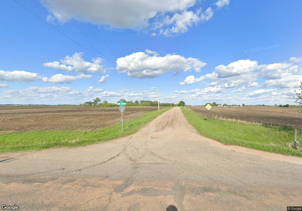
15466 W 270th St Belle Plaine, MN 56011
Estimated Value: $636,000 - $1,836,985
5
Beds
1
Bath
2,520
Sq Ft
$491/Sq Ft
Est. Value
About This Home
This home is located at 15466 W 270th St, Belle Plaine, MN 56011 and is currently estimated at $1,236,996, approximately $490 per square foot. 15466 W 270th St is a home located in Scott County with nearby schools including Park Elementary School, Hilltop Elementary School, and Le Sueur-Henderson High School.
Ownership History
Date
Name
Owned For
Owner Type
Purchase Details
Closed on
Feb 15, 2019
Sold by
Koepp Bruce M and Mark N Koepp Living Trust
Bought by
Woestehoff David J and Woestehoff Krista R
Current Estimated Value
Home Financials for this Owner
Home Financials are based on the most recent Mortgage that was taken out on this home.
Original Mortgage
$980,000
Outstanding Balance
$435,483
Interest Rate
4.4%
Mortgage Type
Commercial
Estimated Equity
$801,513
Purchase Details
Closed on
Dec 8, 2016
Sold by
Woestehoff David J and Woestehoff Krista R
Bought by
Woestehoff Family Properties Llc
Purchase Details
Closed on
Dec 16, 2011
Sold by
Woestehoff John W
Bought by
Dorothy H Woestehoff Testamentary Trust
Purchase Details
Closed on
Apr 18, 1998
Sold by
Estate Of Evelyn A Woestehoff
Bought by
Woestehoff Dorothy H
Create a Home Valuation Report for This Property
The Home Valuation Report is an in-depth analysis detailing your home's value as well as a comparison with similar homes in the area
Home Values in the Area
Average Home Value in this Area
Purchase History
| Date | Buyer | Sale Price | Title Company |
|---|---|---|---|
| Woestehoff David J | $1,300,000 | Scott County Abstract & Titl | |
| Woestehoff Family Properties Llc | -- | None Available | |
| Woestehoff Family Farm Properties Llc | -- | None Available | |
| Dorothy H Woestehoff Testamentary Trust | -- | None Available | |
| Woestehoff Dorothy H | $172,000 | -- |
Source: Public Records
Mortgage History
| Date | Status | Borrower | Loan Amount |
|---|---|---|---|
| Open | Woestehoff David J | $980,000 |
Source: Public Records
Tax History Compared to Growth
Tax History
| Year | Tax Paid | Tax Assessment Tax Assessment Total Assessment is a certain percentage of the fair market value that is determined by local assessors to be the total taxable value of land and additions on the property. | Land | Improvement |
|---|---|---|---|---|
| 2025 | $11,912 | $659,800 | $445,000 | $214,800 |
| 2024 | $11,926 | $644,100 | $429,700 | $214,400 |
| 2023 | $11,908 | $636,600 | $422,000 | $214,600 |
| 2022 | $11,548 | $561,100 | $345,200 | $215,900 |
| 2021 | $11,576 | $520,200 | $331,400 | $188,800 |
| 2020 | $11,894 | $520,300 | $331,400 | $188,900 |
| 2019 | $2,124 | $512,500 | $331,400 | $181,100 |
| 2018 | $1,800 | $0 | $0 | $0 |
| 2016 | $1,770 | $0 | $0 | $0 |
Source: Public Records
Map
Nearby Homes
- 12470 W 270th St
- 23252 Union Trail
- XXX Scenic Byway Rd
- 0 Tbd Scenic Byway Rd
- TBD Scenic Byway Rd
- XXX Beaver St W
- 503 N 7th St
- 203 N 6th St
- xxx 290th St
- 1001 Commerce Dr W
- 300 S 5th St
- 405 Elm St
- 970 Prestwick Dr
- XXX North Lot South St
- XXX South Lot South St
- 819 Viburnum St
- 811 Viburnum St
- 809 Viburnum St
- The Arlington Plan at Chatfield on the Green
- The Wentworth Plan at Chatfield on the Green
