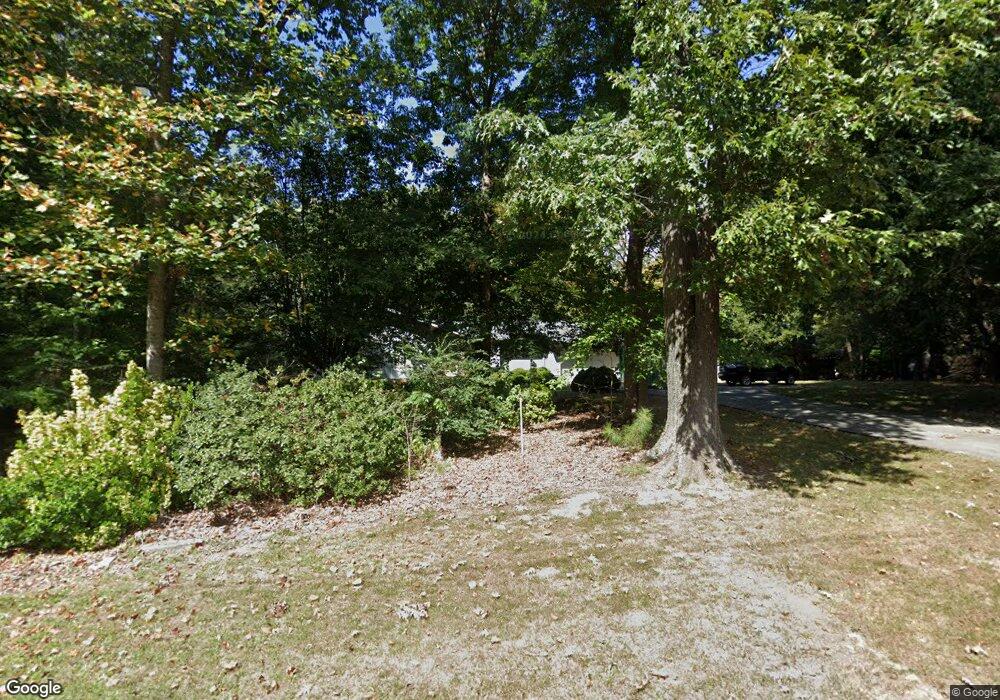
1547 Brooker Farm Rd NE Dalton, GA 30721
Estimated Value: $243,000 - $280,430
--
Bed
2
Baths
1,546
Sq Ft
$172/Sq Ft
Est. Value
About This Home
This home is located at 1547 Brooker Farm Rd NE, Dalton, GA 30721 and is currently estimated at $266,358, approximately $172 per square foot. 1547 Brooker Farm Rd NE is a home located in Whitfield County with nearby schools including Dawnville Elementary School, Coahulla Creek High School, and Cedar Valley Christian Academy.
Ownership History
Date
Name
Owned For
Owner Type
Purchase Details
Closed on
May 12, 2016
Sold by
Haddock William Hugh Estat
Bought by
Peterson Sybil
Current Estimated Value
Home Financials for this Owner
Home Financials are based on the most recent Mortgage that was taken out on this home.
Original Mortgage
$108,000
Outstanding Balance
$85,751
Interest Rate
3.58%
Mortgage Type
New Conventional
Estimated Equity
$180,607
Purchase Details
Closed on
Dec 1, 1993
Bought by
Haddock William H and Haddock Louise W
Create a Home Valuation Report for This Property
The Home Valuation Report is an in-depth analysis detailing your home's value as well as a comparison with similar homes in the area
Home Values in the Area
Average Home Value in this Area
Purchase History
| Date | Buyer | Sale Price | Title Company |
|---|---|---|---|
| Peterson Sybil | $135,000 | -- | |
| Haddock William H | -- | -- |
Source: Public Records
Mortgage History
| Date | Status | Borrower | Loan Amount |
|---|---|---|---|
| Open | Peterson Sybil | $108,000 |
Source: Public Records
Tax History Compared to Growth
Tax History
| Year | Tax Paid | Tax Assessment Tax Assessment Total Assessment is a certain percentage of the fair market value that is determined by local assessors to be the total taxable value of land and additions on the property. | Land | Improvement |
|---|---|---|---|---|
| 2024 | $1,775 | $91,774 | $11,200 | $80,574 |
| 2023 | $1,775 | $66,221 | $7,245 | $58,976 |
| 2022 | $1,346 | $54,188 | $3,360 | $50,828 |
| 2021 | $1,346 | $54,188 | $3,360 | $50,828 |
| 2020 | $1,381 | $54,188 | $3,360 | $50,828 |
| 2019 | $1,398 | $54,188 | $3,360 | $50,828 |
| 2018 | $1,415 | $54,188 | $3,360 | $50,828 |
| 2017 | $1,409 | $54,188 | $3,360 | $50,828 |
| 2016 | $345 | $49,799 | $3,570 | $46,229 |
| 2014 | $240 | $49,799 | $3,570 | $46,229 |
| 2013 | -- | $49,798 | $3,570 | $46,228 |
Source: Public Records
Map
Nearby Homes
- 407 Dawnville Rd
- 305 Kay Dr NE
- 258 Camden Way Unit 67
- 236 Camden Way Unit 51
- 2700 Lynn Dr
- 359 Fox Den Cir
- 407 Fox Den Cir
- 367 Fox Den Cir
- 351 Fox Den Cir
- 381 Fox Den Cir
- 419 Fox Den Cir
- 431 Fox Den Cir
- 428 Fox Den Cir
- 447 Fox Den Cir
- 442 Fox Den Cir
- 454 Fox Den Cir
- 153 Cochran Dr NE
- Salem Plan at Fox Hollow
- Hanover Plan at Fox Hollow
- Freeport Plan at Fox Hollow
- 1545 Brooker Farm Rd NE
- 1541A Brooker Farm Rd NE
- 1551 Brooker Farm Rd NE
- 1462 Shady Acres Rd NE
- 1542 Brooker Farm Rd NE
- 1476 Shady Acres Rd NE
- 1539 Brooker Farm Rd NE
- 1478 Shady Acres Rd NE
- 1553 Brooker Farm Rd NE
- 1500 Brooker Farm Rd NE
- 1480 Shady Acres Rd NE
- 1443 Brooker Farm Rd NE
- 1458 Shady Acres Rd NE
- 1475 Shady Acres Rd NE
- 1457 Shady Acres Rd NE
- 1452 Shady Acres Rd NE
- 1485 Shady Acres Rd NE
- 1455 Shady Acres Rd NE
- 1429 Brooker Farm Rd NE
- 240 Thorntree Way