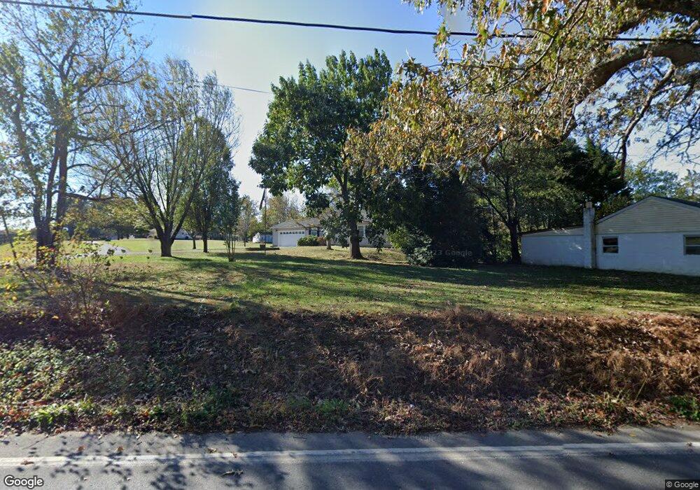
1547 Governor Bridge Rd Davidsonville, MD 21035
Davidsonville NeighborhoodEstimated Value: $525,000 - $658,000
--
Bed
2
Baths
1,344
Sq Ft
$430/Sq Ft
Est. Value
About This Home
This home is located at 1547 Governor Bridge Rd, Davidsonville, MD 21035 and is currently estimated at $577,711, approximately $429 per square foot. 1547 Governor Bridge Rd is a home located in Anne Arundel County with nearby schools including Davidsonville Elementary School, Central Middle School, and South River High School.
Ownership History
Date
Name
Owned For
Owner Type
Purchase Details
Closed on
Jul 28, 2004
Sold by
Tucker Michael S
Bought by
Dietrich Lorrie L and Dietrich Roy W
Current Estimated Value
Purchase Details
Closed on
Jul 15, 2004
Sold by
Tucker Michael S
Bought by
Dietrich Lorrie L and Dietrich Roy W
Purchase Details
Closed on
Sep 4, 2001
Sold by
Allen Martin J
Bought by
Tucker Michael S
Purchase Details
Closed on
Sep 9, 1994
Sold by
Mcnamara William J
Bought by
Allen Martin J
Home Financials for this Owner
Home Financials are based on the most recent Mortgage that was taken out on this home.
Original Mortgage
$121,150
Interest Rate
8.54%
Create a Home Valuation Report for This Property
The Home Valuation Report is an in-depth analysis detailing your home's value as well as a comparison with similar homes in the area
Home Values in the Area
Average Home Value in this Area
Purchase History
| Date | Buyer | Sale Price | Title Company |
|---|---|---|---|
| Dietrich Lorrie L | $356,534 | -- | |
| Dietrich Lorrie L | $356,534 | -- | |
| Tucker Michael S | $215,300 | -- | |
| Allen Martin J | $45,000 | -- |
Source: Public Records
Mortgage History
| Date | Status | Borrower | Loan Amount |
|---|---|---|---|
| Previous Owner | Allen Martin J | $121,150 | |
| Closed | Dietrich Lorrie L | -- | |
| Closed | Allen Martin J | $9,000 |
Source: Public Records
Tax History Compared to Growth
Tax History
| Year | Tax Paid | Tax Assessment Tax Assessment Total Assessment is a certain percentage of the fair market value that is determined by local assessors to be the total taxable value of land and additions on the property. | Land | Improvement |
|---|---|---|---|---|
| 2025 | $4,619 | $427,500 | -- | -- |
| 2024 | $4,619 | $407,300 | $0 | $0 |
| 2023 | $4,484 | $387,100 | $230,300 | $156,800 |
| 2022 | $4,205 | $384,100 | $0 | $0 |
| 2021 | $8,278 | $381,100 | $0 | $0 |
| 2020 | $4,034 | $378,100 | $215,300 | $162,800 |
| 2019 | $3,956 | $359,067 | $0 | $0 |
| 2018 | $3,448 | $340,033 | $0 | $0 |
| 2017 | $3,701 | $321,000 | $0 | $0 |
| 2016 | -- | $317,233 | $0 | $0 |
| 2015 | -- | $313,467 | $0 | $0 |
| 2014 | -- | $309,700 | $0 | $0 |
Source: Public Records
Map
Nearby Homes
- 1203 Double Gate Rd
- 1101 Meredith Ln
- 2901 George Howard Way
- 619 Glen Lake Dr
- 2578 Bell Creek Dr
- 1080 Mount Airy Rd
- 5121 Rosie Oliver St Unit 59E
- 2514 Coxshire Ln
- Greenwich Townhomes Plan at Melford Town Center
- Gramercy Plan at Melford Town Center
- Chelsea Plan at Melford Town Center
- 17105 Aspen Leaf Dr
- 1118 Quince Apple Place
- 17439 Mill Branch Place
- 17006 Longleaf Dr
- 4311 Longleaf Ct
- 2744 Swann Way
- 965 Mount Airy Rd
- 3154 Gosheff Ln
- 3692 Nile Rd
- 1551 Governor Bridge Rd
- 40 R W
- 1543 Governor Bridge Rd
- 1553 Governor Bridge Rd
- 1568 Governor Bridge Rd
- 1520 Governor Bridge Rd
- 1590 Governor Bridge Rd
- 1502 Governor Bridge Rd
- 1563 Governor Bridge Rd
- 1573 Governor Bridge Rd
- 1538 Governor Bridge Rd
- 1602 Governor Bridge Rd
- 1494 Governor Bridge Rd
- 1614 Governor Bridge Rd
- 1480 Governor Bridge Rd
- 1604 Governor Bridge Rd
- 1571 Governor Bridge Rd
- 2871 Patuxent River Rd
- 1470 Governor Bridge Rd
- 1600 Governor Bridge Rd