1547 Olliff Thornton Rd Bristol, GA 31518
Estimated Value: $50,000 - $350,000
--
Bed
1
Bath
930
Sq Ft
$165/Sq Ft
Est. Value
About This Home
This home is located at 1547 Olliff Thornton Rd, Bristol, GA 31518 and is currently estimated at $153,911, approximately $165 per square foot. 1547 Olliff Thornton Rd is a home located in Appling County.
Ownership History
Date
Name
Owned For
Owner Type
Purchase Details
Closed on
Aug 10, 2018
Sold by
Bennett Donna G
Bought by
Gregory Gregory William F William F and Gregory Jeannemarie
Current Estimated Value
Purchase Details
Closed on
Dec 22, 2014
Sold by
Bennett Donna G
Bought by
Lee Logan B and Lee Dustin S
Home Financials for this Owner
Home Financials are based on the most recent Mortgage that was taken out on this home.
Original Mortgage
$16,427
Interest Rate
4.03%
Mortgage Type
New Conventional
Create a Home Valuation Report for This Property
The Home Valuation Report is an in-depth analysis detailing your home's value as well as a comparison with similar homes in the area
Home Values in the Area
Average Home Value in this Area
Purchase History
| Date | Buyer | Sale Price | Title Company |
|---|---|---|---|
| Gregory Gregory William F William F | $9,252 | -- | |
| Lee Logan B | $15,057 | -- |
Source: Public Records
Mortgage History
| Date | Status | Borrower | Loan Amount |
|---|---|---|---|
| Previous Owner | Lee Logan B | $16,427 |
Source: Public Records
Tax History Compared to Growth
Tax History
| Year | Tax Paid | Tax Assessment Tax Assessment Total Assessment is a certain percentage of the fair market value that is determined by local assessors to be the total taxable value of land and additions on the property. | Land | Improvement |
|---|---|---|---|---|
| 2024 | $541 | $28,040 | $3,400 | $24,640 |
| 2023 | $541 | $28,066 | $3,426 | $24,640 |
| 2022 | $251 | $15,762 | $3,426 | $12,336 |
| 2021 | $250 | $15,762 | $3,426 | $12,336 |
| 2020 | $263 | $15,762 | $3,426 | $12,336 |
| 2019 | $270 | $15,762 | $3,426 | $12,336 |
| 2018 | $327 | $17,547 | $5,211 | $12,336 |
| 2017 | $326 | $17,547 | $5,211 | $12,336 |
| 2016 | $326 | $17,547 | $5,211 | $12,336 |
| 2015 | $327 | $17,547 | $5,211 | $12,336 |
| 2014 | $390 | $19,760 | $7,424 | $12,336 |
| 2013 | -- | $16,496 | $4,160 | $12,336 |
Source: Public Records
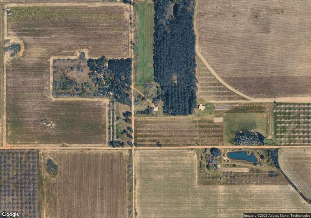
Map
Nearby Homes
- 0 Ward Boyette Rd
- 0 Crump Rd
- 0 Metts-Overstreet Rd
- 2115 Mill Creek Rd
- 2114 Mill Creek Rd
- 6005 Chancey Rd
- 0 Ga Hwy 32
- 4866 Kville Rd
- 2203 N Hwy 121 Hwy
- 59 Enoch Moody Rd
- TRACT 2 Pine Cone Trail
- TRACT 3 Pine Cone Trail
- TRACT 11 Pine Cone Trail
- 0 Pine Cone Trail
- TRACT 5 Pine Cone Trail
- TRACT 7 Pine Cone Trail
- TRACT 9 Pine Cone Trail
- 2460 Thornton Rd
- 540 Freddy Rd
- 0 Kville Rd Unit 10596074
- 1528 Olliff Thornton Rd
- 1528 Olliff Thornton Rd
- 793 Brooks Rd
- 538 Brooks Rd
- 1240 Olliff Thornton Rd
- 1339 Olliff Thornton Rd
- 1880 Olliff Thornton Rd
- 1098 Olliff Thornton Rd
- 2294 Olliff Thornton Rd
- 2776 Long Branch Rd
- 1255 Brooks Rd
- 391 Brooks Rd
- 2244 Long Branch Rd
- 2307 Long Branch Rd
- 773 Olliff Thornton Rd
- 395 Jack Deal Rd
- 1868 Long Branch Rd
- 1568 Long Branch Rd