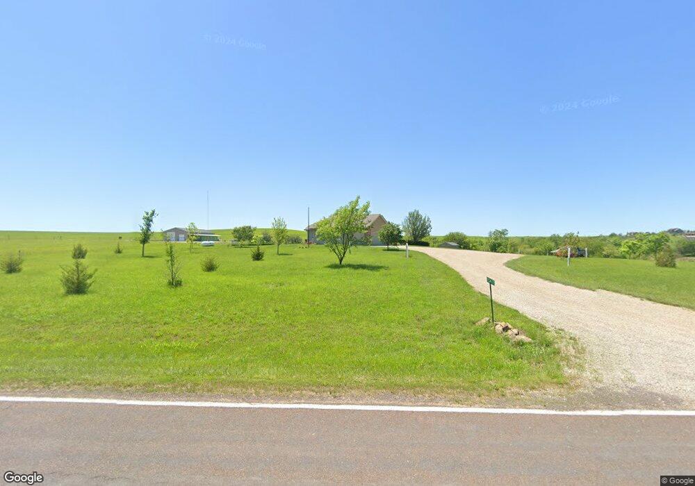
1547 SW Glick Rd Topeka, KS 66615
Estimated Value: $487,000 - $640,032
3
Beds
3
Baths
2,911
Sq Ft
$187/Sq Ft
Est. Value
About This Home
This home is located at 1547 SW Glick Rd, Topeka, KS 66615 and is currently estimated at $545,008, approximately $187 per square foot. 1547 SW Glick Rd is a home located in Shawnee County with nearby schools including Rossville Elementary School and Rossville Junior/Senior High School.
Ownership History
Date
Name
Owned For
Owner Type
Purchase Details
Closed on
Apr 8, 2010
Sold by
Dean Rodger A and Dean Constance J
Bought by
Liesmann Timothy A and Liesmann Tiffany C
Current Estimated Value
Home Financials for this Owner
Home Financials are based on the most recent Mortgage that was taken out on this home.
Original Mortgage
$329,000
Outstanding Balance
$218,037
Interest Rate
4.9%
Mortgage Type
New Conventional
Estimated Equity
$326,971
Create a Home Valuation Report for This Property
The Home Valuation Report is an in-depth analysis detailing your home's value as well as a comparison with similar homes in the area
Home Values in the Area
Average Home Value in this Area
Purchase History
| Date | Buyer | Sale Price | Title Company |
|---|---|---|---|
| Liesmann Timothy A | -- | First American Title |
Source: Public Records
Mortgage History
| Date | Status | Borrower | Loan Amount |
|---|---|---|---|
| Open | Liesmann Timothy A | $329,000 |
Source: Public Records
Tax History Compared to Growth
Tax History
| Year | Tax Paid | Tax Assessment Tax Assessment Total Assessment is a certain percentage of the fair market value that is determined by local assessors to be the total taxable value of land and additions on the property. | Land | Improvement |
|---|---|---|---|---|
| 2025 | $6,929 | $65,343 | -- | -- |
| 2023 | $6,929 | $56,656 | $0 | $0 |
| 2022 | $6,029 | $51,041 | $0 | $0 |
| 2021 | $5,543 | $45,573 | $0 | $0 |
| 2020 | $5,052 | $43,403 | $0 | $0 |
| 2019 | $4,864 | $41,733 | $0 | $0 |
| 2018 | $4,944 | $41,733 | $0 | $0 |
| 2017 | $4,896 | $40,914 | $0 | $0 |
| 2014 | $4,756 | $40,112 | $0 | $0 |
Source: Public Records
Map
Nearby Homes
- Lot 2, Blk B SW 17th St
- Lot 3, Blk A SW Urish Rd
- ooo SW Hays Rd
- 2040 SW Cottonwood Ln
- 00000 SW Hoch Rd
- SW Hoch Rd
- SW Hoch Rd
- 0 SW 49th St Unit 24984487
- 0 SW 49th St Unit 24984495
- 8001 SW 24th St
- Blake Plan at Sherwood Park - Sherwood
- Olivia Plan at Sherwood Park - Sherwood
- Xavier Plan at Sherwood Park - Sherwood
- Heidi Plan at Sherwood Park - Sherwood
- Karlyn Plan at Sherwood Park - Sherwood
- Liam Plan at Sherwood Park - Sherwood
- Kate Plan at Sherwood Park - Sherwood
- Noah Plan at Sherwood Park - Sherwood
- Porter Plan at Sherwood Park - Sherwood
- Adalyn Plan at Sherwood Park - Sherwood
- 1615 SW Glick Rd
- 1537 SW Glick Rd
- 1542 SW Glick Rd
- 1701 SW Glick Rd
- 1720 SW Glick Rd
- 1427 SW Glick Rd
- 1434 SW Glick Rd
- 1825 SW Glick Rd
- 11315 SW 13th St
- 1400 SW Glick Rd
- 1347 SW Glick Rd
- 11333 SW 13th St
- 11311 SW 13th St
- 1836 SW Glick Rd
- 1820 SW Glick Rd
- 1327 SW Glick Rd
- 11135 SW 13th St
- 11435 SW 13th St
- 1922 SW Glick Rd
- 11445 SW 13th St