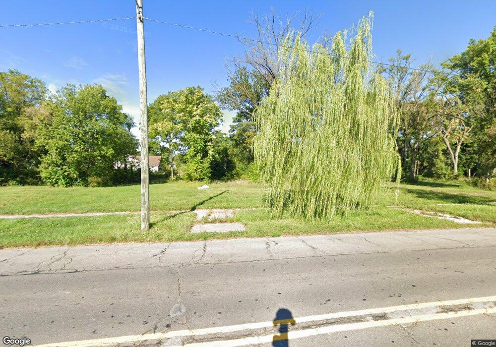
15471 Lahser Rd Detroit, MI 48223
Brightmoor NeighborhoodEstimated Value: $52,000 - $89,000
--
Bed
1
Bath
735
Sq Ft
$98/Sq Ft
Est. Value
About This Home
This home is located at 15471 Lahser Rd, Detroit, MI 48223 and is currently estimated at $71,667, approximately $97 per square foot. 15471 Lahser Rd is a home located in Wayne County with nearby schools including Ralph W. Emerson Elementary-Middle School, Charles L. Spain Elementary-Middle School, and Edward 'Duke' Ellington Conservatory of Music and Art.
Ownership History
Date
Name
Owned For
Owner Type
Purchase Details
Closed on
Dec 17, 2021
Sold by
County Of Wayne
Bought by
Detroit Land Bank Authority
Current Estimated Value
Purchase Details
Closed on
Mar 23, 2016
Sold by
The Detroit Land Bank Authority
Bought by
Haliburton Terry
Purchase Details
Closed on
Jul 16, 2014
Sold by
The City Of Detroit
Bought by
The Detroit Land Bank Authority
Purchase Details
Closed on
Feb 7, 2013
Sold by
Wayne County Treasurer
Bought by
Planning & Development Dept City Of Detr
Create a Home Valuation Report for This Property
The Home Valuation Report is an in-depth analysis detailing your home's value as well as a comparison with similar homes in the area
Home Values in the Area
Average Home Value in this Area
Purchase History
| Date | Buyer | Sale Price | Title Company |
|---|---|---|---|
| Detroit Land Bank Authority | -- | None Available | |
| Haliburton Terry | -- | Attorney | |
| The Detroit Land Bank Authority | -- | None Available | |
| Planning & Development Dept City Of Detr | -- | None Available |
Source: Public Records
Tax History Compared to Growth
Tax History
| Year | Tax Paid | Tax Assessment Tax Assessment Total Assessment is a certain percentage of the fair market value that is determined by local assessors to be the total taxable value of land and additions on the property. | Land | Improvement |
|---|---|---|---|---|
| 2025 | $38 | $0 | $0 | $0 |
| 2024 | $38 | $500 | $0 | $0 |
| 2023 | $38 | $500 | $0 | $0 |
| 2022 | $44 | $500 | $0 | $0 |
| 2021 | $44 | $500 | $0 | $0 |
| 2020 | $44 | $500 | $0 | $0 |
| 2019 | $44 | $500 | $0 | $0 |
| 2018 | $38 | $500 | $0 | $0 |
| 2017 | $9 | $500 | $0 | $0 |
| 2016 | $1,432 | $0 | $0 | $0 |
| 2015 | $1,432 | $0 | $0 | $0 |
| 2013 | $1,432 | $16,758 | $0 | $0 |
| 2010 | -- | $24,011 | $863 | $23,148 |
Source: Public Records
Map
Nearby Homes
- 15487 Greydale St
- 15726 Rockdale St
- 15379 Dolphin St
- 15739 Dolphin St
- 15158 Dacosta St
- 15421 Westbrook St
- 15835 Westbrook St
- 15820 Bramell St
- 15341 Bramell St
- 16146 Chapel St
- 15905 Westbrook St
- 15858 Westbrook St
- 16115 Westbrook St
- 15403 Beaverland St
- 15830 Beaverland St
- 15140 Beaverland St
- 15772 W Parkway St
- 14549 Dacosta St
- 14807 Burgess
- 16605 Lamphere St
- 15479 Lahser Rd
- 15463 Lahser Rd
- 15487 Lahser Rd
- 15455 Lahser Rd
- 15495 Lahser Rd
- 15445 Lahser Rd
- 15472 Rockdale St
- 15464 Rockdale St
- 15501 Lahser Rd
- 15486 Rockdale St
- 15437 Lahser Rd
- 15496 Rockdale St
- 15476 Rockdale St
- 15509 Lahser Rd
- 15452 Rockdale St
- 15504 Rockdale St
- 15515 Lahser Rd
- 15450 Lahser Rd
- 15425 Lahser Rd
- 15510 Rockdale St