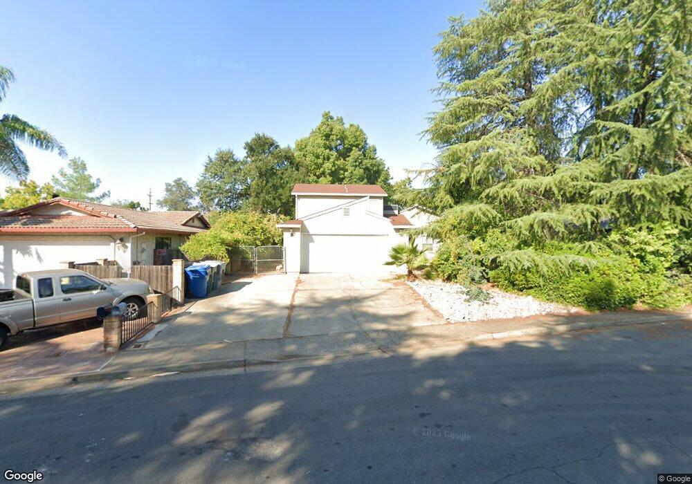
1548 Woodside Meadows Ct Unit 1 Redding, CA 96002
Mistletoe NeighborhoodEstimated Value: $330,235 - $345,000
3
Beds
3
Baths
1,600
Sq Ft
$212/Sq Ft
Est. Value
About This Home
This home is located at 1548 Woodside Meadows Ct Unit 1, Redding, CA 96002 and is currently estimated at $339,309, approximately $212 per square foot. 1548 Woodside Meadows Ct Unit 1 is a home located in Shasta County with nearby schools including Mistletoe Elementary School, Enterprise High School, and Trinity Lutheran School.
Ownership History
Date
Name
Owned For
Owner Type
Purchase Details
Closed on
May 7, 2013
Sold by
Hernandez Charissa Anne
Bought by
Velazquez Ruben Hernandez
Current Estimated Value
Home Financials for this Owner
Home Financials are based on the most recent Mortgage that was taken out on this home.
Original Mortgage
$176,739
Outstanding Balance
$125,576
Interest Rate
3.54%
Mortgage Type
FHA
Estimated Equity
$213,733
Purchase Details
Closed on
May 2, 2013
Sold by
Gutierrez Jose and Gutierrez Anna C
Bought by
Velazquez Ruben Hernandez
Home Financials for this Owner
Home Financials are based on the most recent Mortgage that was taken out on this home.
Original Mortgage
$176,739
Outstanding Balance
$125,576
Interest Rate
3.54%
Mortgage Type
FHA
Estimated Equity
$213,733
Purchase Details
Closed on
Jan 16, 2007
Sold by
Stark Dennis R and Stark Janean L
Bought by
Gutierrez Jose and Gutierrez Anna C
Home Financials for this Owner
Home Financials are based on the most recent Mortgage that was taken out on this home.
Original Mortgage
$263,150
Interest Rate
6.09%
Mortgage Type
Purchase Money Mortgage
Purchase Details
Closed on
May 4, 2006
Sold by
Stark Dennis R and Stark Janean L
Bought by
Stark Dennis R and Stark Janean L
Purchase Details
Closed on
Jun 7, 2002
Sold by
Burnett Ronald and Burnett Monique
Bought by
Stark Dennis R and Stark Janean L
Home Financials for this Owner
Home Financials are based on the most recent Mortgage that was taken out on this home.
Original Mortgage
$131,700
Interest Rate
6.74%
Mortgage Type
Purchase Money Mortgage
Purchase Details
Closed on
Nov 2, 1999
Sold by
Covington Howard G and Covington Janice L
Bought by
Burnett Ronald and Burnett Monique
Home Financials for this Owner
Home Financials are based on the most recent Mortgage that was taken out on this home.
Original Mortgage
$71,000
Interest Rate
7.75%
Mortgage Type
Purchase Money Mortgage
Create a Home Valuation Report for This Property
The Home Valuation Report is an in-depth analysis detailing your home's value as well as a comparison with similar homes in the area
Home Values in the Area
Average Home Value in this Area
Purchase History
| Date | Buyer | Sale Price | Title Company |
|---|---|---|---|
| Velazquez Ruben Hernandez | -- | Fidelity Natl Title Co Of Ca | |
| Velazquez Ruben Hernandez | $180,000 | Fidelity Natl Title Co Of Ca | |
| Gutierrez Jose | $277,000 | Placer Title Company | |
| Stark Dennis R | -- | None Available | |
| Stark Dennis R | $154,000 | First American Title Co | |
| Burnett Ronald | $109,000 | First American Title Co |
Source: Public Records
Mortgage History
| Date | Status | Borrower | Loan Amount |
|---|---|---|---|
| Open | Velazquez Ruben Hernandez | $176,739 | |
| Previous Owner | Gutierrez Jose | $263,150 | |
| Previous Owner | Stark Dennis R | $131,700 | |
| Previous Owner | Burnett Ronald | $71,000 | |
| Closed | Burnett Ronald | $38,000 |
Source: Public Records
Tax History Compared to Growth
Tax History
| Year | Tax Paid | Tax Assessment Tax Assessment Total Assessment is a certain percentage of the fair market value that is determined by local assessors to be the total taxable value of land and additions on the property. | Land | Improvement |
|---|---|---|---|---|
| 2025 | $2,418 | $221,645 | $36,938 | $184,707 |
| 2024 | $2,385 | $217,300 | $36,214 | $181,086 |
| 2023 | $2,385 | $213,040 | $35,504 | $177,536 |
| 2022 | $2,317 | $208,863 | $34,808 | $174,055 |
| 2021 | $2,239 | $204,769 | $34,126 | $170,643 |
| 2020 | $2,229 | $202,671 | $33,777 | $168,894 |
| 2019 | $2,211 | $198,698 | $33,115 | $165,583 |
| 2018 | $2,185 | $194,803 | $32,466 | $162,337 |
| 2017 | $2,224 | $190,984 | $31,830 | $159,154 |
| 2016 | $2,081 | $187,240 | $31,206 | $156,034 |
| 2015 | $2,064 | $184,429 | $30,738 | $153,691 |
| 2014 | $2,049 | $180,817 | $30,136 | $150,681 |
Source: Public Records
Map
Nearby Homes
- 1018 Pineland Dr
- 1271 Mistletoe Ln
- 1285 Lancers Ln
- 1928 Bechelli Ln
- 1968 Bechelli Ln
- 1511 Oakdale Ln
- 1610 Oakdale Ct
- 1802 Whaley Ct
- 2164 Oxford Rd
- 1565 Becky Way
- 1026 Palisades Ave
- 825 Mission Sierra Ct
- 823 Mission Sierra Ct
- 1401 Casa Vereda Way
- 856 Mission de Oro Dr
- 1187 Kirkwood Cir
- 1063 Belcrest Dr
- 953 Tanglewood Dr
- 1891 Edgewood Dr
- 11 Tanglewood Ln
- 1548 Woodside Meadows Ct Unit 1
- 1548 Woodside Meadows Ct
- 1588 Woodside Meadows Ct
- 1520 Woodside Meadows Ct
- 1515 Woodside Meadows Ct
- 1080 Woodside Meadows Dr
- 1589 Canby Rd
- 1047 Woodside Meadows Dr
- 1551 Woodside Meadows Ct
- 1593 Canby Rd
- 1039 Woodside Meadows Dr
- 1581 Canby Rd
- 1061 Woodside Meadows Dr
- 1033 Woodside Meadows Rd
- 1033 Woodside Meadows Dr
- 1587 Canby Rd
- 1077 Woodside Meadows Dr
- 1093 Woodside Meadows Dr
- 1093 Woodside Meadows Rd
- 1643 Canby Rd