1549 Jones Rd Minooka, IL 60447
North Minooka NeighborhoodEstimated Value: $277,795
Studio
--
Bath
--
Sq Ft
217,800
Sq Ft Lot
About This Home
This home is located at 1549 Jones Rd, Minooka, IL 60447 and is currently priced at $277,795. 1549 Jones Rd is a home located in Kendall County with nearby schools including Jones Elementary School, Minooka Junior High School, and Minooka Intermediate School.
Ownership History
Date
Name
Owned For
Owner Type
Purchase Details
Closed on
Apr 19, 2012
Sold by
Allen Carol A and Hill Adrienne M
Bought by
Bellus Daniel J and Bellus Amy J
Current Estimated Value
Purchase Details
Closed on
Mar 6, 2008
Sold by
Bellus Dolores L
Bought by
Allen Carol A and Hill Adrienne M
Purchase Details
Closed on
Dec 20, 2007
Sold by
Bellus Dolores L
Bought by
Allen Carol A and Hill Adrienne M
Purchase Details
Closed on
Sep 22, 2006
Sold by
Henschen Roland A and Henschen Lavonne M
Bought by
Bellus Dolores L
Create a Home Valuation Report for This Property
The Home Valuation Report is an in-depth analysis detailing your home's value as well as a comparison with similar homes in the area
Home Values in the Area
Average Home Value in this Area
Purchase History
| Date | Buyer | Sale Price | Title Company |
|---|---|---|---|
| Bellus Daniel J | -- | None Available | |
| Allen Carol A | -- | None Available | |
| Allen Carol A | -- | None Available | |
| Bellus Dolores L | $50,000 | None Available |
Source: Public Records
Tax History
| Year | Tax Paid | Tax Assessment Tax Assessment Total Assessment is a certain percentage of the fair market value that is determined by local assessors to be the total taxable value of land and additions on the property. | Land | Improvement |
|---|---|---|---|---|
| 2024 | $443 | $5,755 | $1,430 | $4,325 |
| 2023 | $390 | $5,429 | $1,310 | $4,119 |
| 2022 | $390 | $4,910 | $1,200 | $3,710 |
| 2021 | $392 | $4,820 | $1,110 | $3,710 |
| 2020 | $392 | $4,730 | $1,020 | $3,710 |
| 2019 | $394 | $4,650 | $940 | $3,710 |
| 2018 | $393 | $4,580 | $870 | $3,710 |
| 2017 | $399 | $4,520 | $810 | $3,710 |
| 2016 | $0 | $4,460 | $750 | $3,710 |
| 2015 | $198 | $4,410 | $700 | $3,710 |
| 2014 | -- | $11,708 | $7,998 | $3,710 |
| 2013 | -- | $11,658 | $7,948 | $3,710 |
Source: Public Records
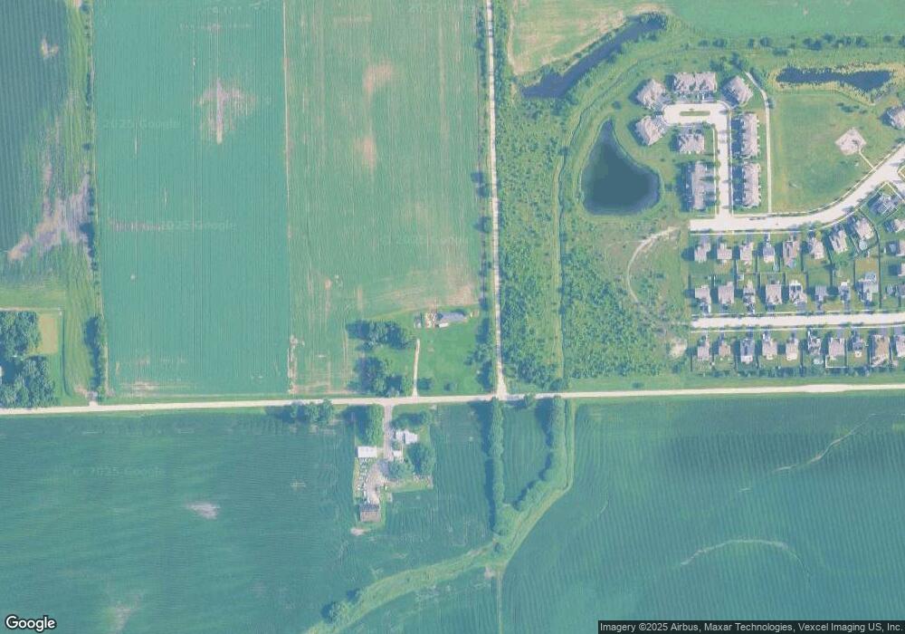
Map
Nearby Homes
- 8010 Wood River St
- 901 Sable Ridge Dr
- 8500 Sawyer Ct
- 8508 Sawyer Ct
- 8021 Harrier Ave
- 8513 Sawyer Ct
- 906 Bluebell Cir
- 8301 Trumbull Ave
- 8406 Coop Ave
- 8038 Bluestem Ave
- 1107 Van Dyke Rd
- 1047 Heron Cir
- 1008 Heron Cir Unit 1
- 1003 Plaintain Dr
- 7801 Jewelflower Ct
- 7607 Blueblossom Ln
- 7809 Nightshade Ln
- 7625 Stonecrop Ln
- 7730 Nightshade Ln
- 7720 Nightshade Ln
- 1795 Jones Rd
- 1562 Jones Rd
- 1688 Black Rd
- 521 Fort Clatsop Ct
- 523 Fort Clatsop Ct
- 519 Fort Clatsop Ct
- 517 Fort Clatsop Ct
- 525 Fort Clatsop Ct
- 527 Fort Clatsop Ct
- 515 Fort Clatsop Ct
- 534 Fort Clatsop Ct
- 507 Fort Clatsop Ct Unit 507
- 507 Fort Clatsop Ct Unit 5
- 505 Fort Clatsop Ct
- 501 Fort Clatsop Ct
- 501 Fort Clatsop Ct Unit 501
- 503 Fort Clatsop Ct Unit 503
- 513 Fort Clatsop Ct
- 509 Fort Clatsop Ct Unit 509
- 532 Fort Clatsop Ct
Your Personal Tour Guide
Ask me questions while you tour the home.