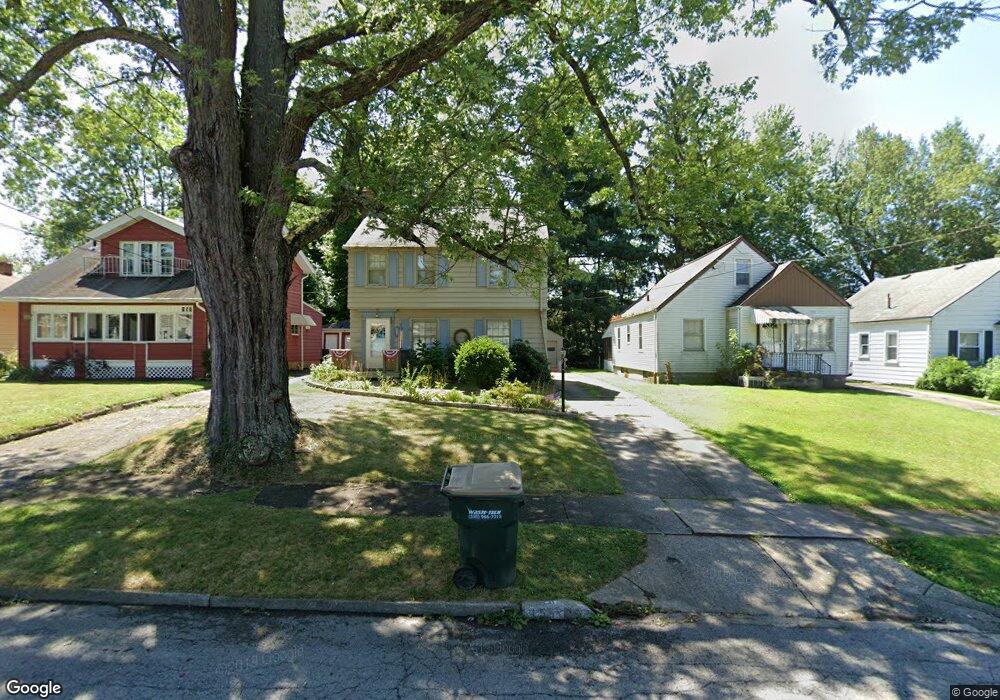
155 Clifton Dr Youngstown, OH 44512
Estimated Value: $120,238 - $138,000
3
Beds
1
Bath
1,274
Sq Ft
$102/Sq Ft
Est. Value
About This Home
This home is located at 155 Clifton Dr, Youngstown, OH 44512 and is currently estimated at $129,810, approximately $101 per square foot. 155 Clifton Dr is a home located in Mahoning County with nearby schools including Boardman Glenwood Junior High School, Boardman High School, and Horizon Science Academy - Youngstown.
Ownership History
Date
Name
Owned For
Owner Type
Purchase Details
Closed on
Jan 9, 1996
Sold by
Muller Janet L
Bought by
Lukehart Thomas and Lukehart Kathy
Current Estimated Value
Home Financials for this Owner
Home Financials are based on the most recent Mortgage that was taken out on this home.
Original Mortgage
$48,900
Outstanding Balance
$1,335
Interest Rate
7.41%
Mortgage Type
New Conventional
Estimated Equity
$128,475
Purchase Details
Closed on
Feb 15, 1989
Bought by
Muller Janet J
Create a Home Valuation Report for This Property
The Home Valuation Report is an in-depth analysis detailing your home's value as well as a comparison with similar homes in the area
Home Values in the Area
Average Home Value in this Area
Purchase History
| Date | Buyer | Sale Price | Title Company |
|---|---|---|---|
| Lukehart Thomas | $59,900 | -- | |
| Muller Janet J | -- | -- |
Source: Public Records
Mortgage History
| Date | Status | Borrower | Loan Amount |
|---|---|---|---|
| Open | Lukehart Thomas | $48,900 |
Source: Public Records
Tax History Compared to Growth
Tax History
| Year | Tax Paid | Tax Assessment Tax Assessment Total Assessment is a certain percentage of the fair market value that is determined by local assessors to be the total taxable value of land and additions on the property. | Land | Improvement |
|---|---|---|---|---|
| 2024 | $1,372 | $26,760 | $3,120 | $23,640 |
| 2023 | $1,354 | $26,760 | $3,120 | $23,640 |
| 2022 | $1,142 | $17,190 | $3,020 | $14,170 |
| 2021 | $1,143 | $17,190 | $3,020 | $14,170 |
| 2020 | $1,149 | $17,190 | $3,020 | $14,170 |
| 2019 | $1,157 | $15,210 | $2,670 | $12,540 |
| 2018 | $994 | $15,210 | $2,670 | $12,540 |
| 2017 | $1,094 | $15,210 | $2,670 | $12,540 |
| 2016 | $1,209 | $18,680 | $3,190 | $15,490 |
| 2015 | $1,185 | $18,680 | $3,190 | $15,490 |
| 2014 | $1,189 | $18,680 | $3,190 | $15,490 |
| 2013 | $1,174 | $18,680 | $3,190 | $15,490 |
Source: Public Records
Map
Nearby Homes
- 175 Homestead Dr
- 83 Beechwood Dr
- 94 Beechwood Dr
- 4508 Southern Blvd
- 94 Shadyside Dr
- 4504 Southern Blvd
- 60 Shadyside Dr
- 28 Terrace Dr
- 4552 New England Blvd
- 127 Melrose Ave
- 4307 Helena Ave
- 30 Pinehurst Ave
- 268 Erskine Ave
- 323 Melrose Ave
- 429 Tudor Ln
- 204 Lowell Ave
- 4144 Helena Ave
- 167 Afton Ave
- 486 Annawan Ln
- 149 Argyle Ave