155 Dunton Circle Lot 32 Hampden, ME 04444
Estimated Value: $728,000 - $836,000
4
Beds
3
Baths
3,099
Sq Ft
$252/Sq Ft
Est. Value
About This Home
This home is located at 155 Dunton Circle Lot 32, Hampden, ME 04444 and is currently estimated at $780,145, approximately $251 per square foot. 155 Dunton Circle Lot 32 is a home located in Penobscot County.
Ownership History
Date
Name
Owned For
Owner Type
Purchase Details
Closed on
Sep 24, 2024
Sold by
Norris Erica J
Bought by
Mchatten Ethan D and Marshall Jenna R
Current Estimated Value
Home Financials for this Owner
Home Financials are based on the most recent Mortgage that was taken out on this home.
Original Mortgage
$550,000
Outstanding Balance
$544,369
Interest Rate
6.49%
Mortgage Type
Purchase Money Mortgage
Estimated Equity
$235,776
Create a Home Valuation Report for This Property
The Home Valuation Report is an in-depth analysis detailing your home's value as well as a comparison with similar homes in the area
Home Values in the Area
Average Home Value in this Area
Purchase History
| Date | Buyer | Sale Price | Title Company |
|---|---|---|---|
| Mchatten Ethan D | $650,000 | None Available | |
| Mchatten Ethan D | $650,000 | None Available |
Source: Public Records
Mortgage History
| Date | Status | Borrower | Loan Amount |
|---|---|---|---|
| Open | Mchatten Ethan D | $550,000 | |
| Closed | Mchatten Ethan D | $550,000 |
Source: Public Records
Tax History Compared to Growth
Tax History
| Year | Tax Paid | Tax Assessment Tax Assessment Total Assessment is a certain percentage of the fair market value that is determined by local assessors to be the total taxable value of land and additions on the property. | Land | Improvement |
|---|---|---|---|---|
| 2024 | $10,010 | $639,600 | $106,800 | $532,800 |
| 2023 | $10,087 | $524,000 | $87,500 | $436,500 |
| 2022 | $9,735 | $470,300 | $78,600 | $391,700 |
| 2021 | $9,735 | $470,300 | $78,600 | $391,700 |
| 2020 | $8,868 | $434,700 | $78,600 | $356,100 |
| 2019 | $10,345 | $507,100 | $76,300 | $430,800 |
| 2018 | $1,121 | $57,200 | $57,200 | $0 |
| 2017 | $1,052 | $57,200 | $57,200 | $0 |
| 2016 | $1,037 | $57,000 | $57,000 | $0 |
| 2015 | $998 | $57,000 | $57,000 | $0 |
| 2014 | $1,001 | $57,200 | $57,200 | $0 |
| 2013 | $952 | $57,200 | $57,200 | $0 |
Source: Public Records
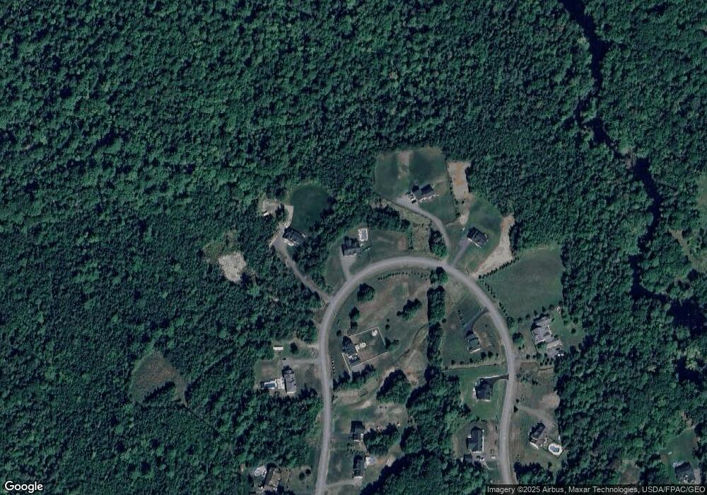
Map
Nearby Homes
- 594 Western Ave
- TBD Western Ave
- 42 Patterson Rd
- 45 Hughes Blvd
- 0 Western Ave Unit 21258039
- 338 Western Ave
- 14 Hermon Pond Rd
- 327 Western Ave
- 9 Patterson Rd
- 287 Partridge Ln
- 273 Partridge Ln
- 283 Partridge Ln
- 0 Rt 1a (Honey Hill Estates) Unit Lot 7
- 0 Rt 1a (Honey Hill Estates) Unit Lot 19
- 0 Rt 1a (Honey Hill Estates) Unit Lot 2
- 0 Rt 1a (Honey Hill Estates) Unit Lot 10
- 135 Mayo Rd Unit G
- 73 Papermill Rd
- 177 Shaw Hill Rd
- 128 Mayo Rd Unit D
- 155 Dunton Cir
- 165 Dunton Circle Lot 31
- 165 Dunton Cir
- 145 Dunton Cir
- Lot # 34 Dunton Cir
- Lot 46 Dunton Cir
- 171 Dunton Cir
- 124 Dunton Cir
- 178 Dunton Cir
- 178 Dunton Circle Lot 44
- 127 Dunton Circle Lot 36
- 185 Dunton Cir
- 115 Dunton Cir
- Lot 41 Dunton (Hawthorne Ridge) Cir
- 200 Dunton Cir
- Lot 39 Dunton Cir
- 114 Dunton Cir
- Lot 39 Dunton Circle (Hawthorne Ridge
- 113 Dunton Cir
- Lot 43 Dunton Cir