155 Hawthorne Ct Unit 155C Reading, PA 19610
Spring Ridge NeighborhoodEstimated Value: $396,713 - $445,000
4
Beds
3
Baths
2,128
Sq Ft
$198/Sq Ft
Est. Value
About This Home
This home is located at 155 Hawthorne Ct Unit 155C, Reading, PA 19610 and is currently estimated at $421,928, approximately $198 per square foot. 155 Hawthorne Ct Unit 155C is a home located in Berks County with nearby schools including Spring Ridge Elementary School, Wilson West Middle School, and Wilson High School.
Ownership History
Date
Name
Owned For
Owner Type
Purchase Details
Closed on
Aug 20, 2010
Sold by
Glass John A
Bought by
Denunzio Edward and Denunzio Nancy J
Current Estimated Value
Home Financials for this Owner
Home Financials are based on the most recent Mortgage that was taken out on this home.
Original Mortgage
$150,000
Outstanding Balance
$98,661
Interest Rate
4.44%
Mortgage Type
New Conventional
Estimated Equity
$323,267
Purchase Details
Closed on
Mar 28, 2002
Sold by
Garito Joseph A
Bought by
Glass John A
Home Financials for this Owner
Home Financials are based on the most recent Mortgage that was taken out on this home.
Original Mortgage
$144,000
Interest Rate
7.05%
Create a Home Valuation Report for This Property
The Home Valuation Report is an in-depth analysis detailing your home's value as well as a comparison with similar homes in the area
Home Values in the Area
Average Home Value in this Area
Purchase History
| Date | Buyer | Sale Price | Title Company |
|---|---|---|---|
| Denunzio Edward | $210,000 | None Available | |
| Glass John A | $180,000 | -- |
Source: Public Records
Mortgage History
| Date | Status | Borrower | Loan Amount |
|---|---|---|---|
| Open | Denunzio Edward | $150,000 | |
| Previous Owner | Glass John A | $144,000 |
Source: Public Records
Tax History Compared to Growth
Tax History
| Year | Tax Paid | Tax Assessment Tax Assessment Total Assessment is a certain percentage of the fair market value that is determined by local assessors to be the total taxable value of land and additions on the property. | Land | Improvement |
|---|---|---|---|---|
| 2025 | $2,336 | $158,200 | $16,500 | $141,700 |
| 2024 | $6,769 | $158,200 | $16,500 | $141,700 |
| 2023 | $6,449 | $158,200 | $16,500 | $141,700 |
| 2022 | $6,291 | $158,200 | $16,500 | $141,700 |
| 2021 | $6,070 | $158,200 | $16,500 | $141,700 |
| 2020 | $6,070 | $158,200 | $16,500 | $141,700 |
| 2019 | $5,897 | $158,200 | $16,500 | $141,700 |
| 2018 | $5,847 | $158,200 | $16,500 | $141,700 |
| 2017 | $5,748 | $158,200 | $16,500 | $141,700 |
| 2016 | $1,647 | $158,200 | $16,500 | $141,700 |
| 2015 | $1,647 | $158,200 | $16,500 | $141,700 |
| 2014 | $1,647 | $158,200 | $16,500 | $141,700 |
Source: Public Records
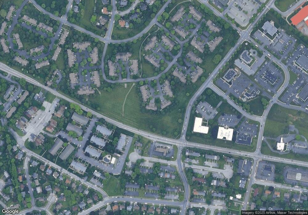
Map
Nearby Homes
- 2900 State Hill Rd Unit I12
- 2912 State Hill Rd Unit B-2
- 191 Hawthorne Ct Unit 191A
- 1914 Andre Ct
- 179 Hawthorne Ct Unit 179A
- 118 Laurel Ct Unit 118B
- 120 Laurel Ct Unit 120A
- 2035 Franklin Place
- 301 Warwick Dr
- 150 Laurel Ct Unit 150A
- 802 Apple Dr
- 137 Hickory Ln
- 204 Springmont Dr
- 101 Robert Rd
- 121 Grandview Blvd
- 125 Grandview Blvd
- 12 Vista Rd
- 61 Grandview Blvd
- 1501 Concord Rd
- 7 Woods Way
- 154 Hawthorne Ct
- 153 Hawthorne Ct
- 157 Hawthorne Ct Unit 157C
- 158 Hawthorne Ct
- 151 Hawthorne Ct
- 152 Hawthorne Ct
- 159 Hawthorne Ct Unit 159A
- 160 Hawthorne Ct
- 150 Hawthorne Ct
- 149 Hawthorne Ct
- 136 Hawthorne Ct Unit 136B
- 133 Hawthorne Ct
- 134 Hawthorne Ct
- 135 Hawthorne Ct
- 137 Hawthorne Ct
- 172 Hawthorne Ct Unit 172B
- 138 Hawthorne Ct
- 171 Hawthorne Ct Unit 171A
- 2902 State Hill Rd Unit E4
- 2902 State Hill Rd