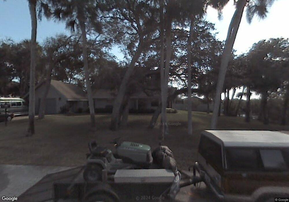
155 Hiles Blvd New Smyrna Beach, FL 32169
New Smyrna Beachfront NeighborhoodEstimated Value: $727,736 - $898,000
2
Beds
3
Baths
1,697
Sq Ft
$464/Sq Ft
Est. Value
About This Home
This home is located at 155 Hiles Blvd, New Smyrna Beach, FL 32169 and is currently estimated at $787,434, approximately $464 per square foot. 155 Hiles Blvd is a home located in Volusia County with nearby schools including Coronado Beach Elementary School, New Smyrna Beach Middle School, and New Smyrna Beach High School.
Ownership History
Date
Name
Owned For
Owner Type
Purchase Details
Closed on
Apr 13, 2016
Sold by
Parisi Matthew Joeph and Parisi Mary Roberta
Bought by
Parisi Matthew J and Parisi Mary R
Current Estimated Value
Home Financials for this Owner
Home Financials are based on the most recent Mortgage that was taken out on this home.
Original Mortgage
$256,000
Outstanding Balance
$203,376
Interest Rate
3.68%
Mortgage Type
New Conventional
Estimated Equity
$584,058
Purchase Details
Closed on
Jul 26, 2011
Sold by
Parisi Matthew J and Parisi Mary R
Bought by
Parisi Matthew Joseph and Parisi Mary Roberta
Home Financials for this Owner
Home Financials are based on the most recent Mortgage that was taken out on this home.
Original Mortgage
$267,750
Interest Rate
4.54%
Mortgage Type
New Conventional
Purchase Details
Closed on
Jun 15, 1977
Bought by
Parisi Matthew J
Create a Home Valuation Report for This Property
The Home Valuation Report is an in-depth analysis detailing your home's value as well as a comparison with similar homes in the area
Home Values in the Area
Average Home Value in this Area
Purchase History
| Date | Buyer | Sale Price | Title Company |
|---|---|---|---|
| Parisi Matthew J | -- | None Available | |
| Parisi Matthew Joseph | -- | Lsi | |
| Parisi Matthew J | $10,000 | -- |
Source: Public Records
Mortgage History
| Date | Status | Borrower | Loan Amount |
|---|---|---|---|
| Open | Parisi Matthew J | $256,000 | |
| Previous Owner | Parisi Matthew Joseph | $267,750 |
Source: Public Records
Tax History Compared to Growth
Tax History
| Year | Tax Paid | Tax Assessment Tax Assessment Total Assessment is a certain percentage of the fair market value that is determined by local assessors to be the total taxable value of land and additions on the property. | Land | Improvement |
|---|---|---|---|---|
| 2025 | $8,995 | $657,648 | $404,460 | $253,188 |
| 2024 | $8,995 | $657,279 | $404,460 | $252,819 |
| 2023 | $8,995 | $552,510 | $302,400 | $250,110 |
| 2022 | $7,975 | $431,441 | $236,250 | $195,191 |
| 2021 | $7,899 | $416,006 | $236,250 | $179,756 |
| 2020 | $7,082 | $355,620 | $187,110 | $168,510 |
| 2019 | $7,508 | $441,636 | $188,892 | $252,744 |
| 2018 | $6,627 | $346,328 | $157,982 | $188,346 |
| 2017 | $6,052 | $287,740 | $128,418 | $159,322 |
| 2016 | $5,655 | $232,075 | $0 | $0 |
| 2015 | $5,514 | $225,305 | $0 | $0 |
| 2014 | $5,044 | $209,612 | $0 | $0 |
Source: Public Records
Map
Nearby Homes
- 4513 Saxon Dr
- 4503 Saxon Dr
- 0 S Atlantic Ave Unit MFRO6319520
- 0 S Atlantic Ave Unit MFRO6268375
- 0 S Atlantic Ave Unit MFRNS1082495
- 4636 Katy Dr
- 4715 Van Kleeck Dr
- 4501 S Atlantic Ave Unit 5070
- 4501 S Atlantic Ave Unit 507
- 4501 S Atlantic Ave Unit 415
- 4501 S Atlantic Ave Unit 5060
- 4501 S Atlantic Ave Unit 4090
- 4501 S Atlantic Ave Unit 4040
- 4493 S Atlantic Ave Unit 3040
- 4411 Sea Mist Ct Unit 174
- 4411 Sea Mist Ct Unit 275
- 4407 Sea Mist Ct Unit 267
- 4381 S Atlantic Ave Unit 504
- 4405 Sea Mist Dr Unit 114
- 4405 Sea Mist Dr Unit 218