155 Hogan Rd Brooks, GA 30205
Estimated Value: $834,324 - $931,000
Studio
--
Bath
3,563
Sq Ft
$251/Sq Ft
Est. Value
About This Home
This home is located at 155 Hogan Rd, Brooks, GA 30205 and is currently estimated at $894,775, approximately $251 per square foot. 155 Hogan Rd is a home located in Fayette County with nearby schools including Peeples Elementary School, Whitewater Middle School, and Whitewater High School.
Ownership History
Date
Name
Owned For
Owner Type
Purchase Details
Closed on
Dec 11, 2024
Sold by
Allgood Molly Gardner and Allgood Steven J
Bought by
Steven James Allgood 2024 Trust and Molly Gardner Allgood 2024 Trust
Current Estimated Value
Purchase Details
Closed on
Feb 11, 2008
Sold by
Allgood Molly G
Bought by
Allgood Steven J and Allgood Molly G
Home Financials for this Owner
Home Financials are based on the most recent Mortgage that was taken out on this home.
Original Mortgage
$281,600
Interest Rate
5.85%
Mortgage Type
New Conventional
Create a Home Valuation Report for This Property
The Home Valuation Report is an in-depth analysis detailing your home's value as well as a comparison with similar homes in the area
Home Values in the Area
Average Home Value in this Area
Purchase History
| Date | Buyer | Sale Price | Title Company |
|---|---|---|---|
| Steven James Allgood 2024 Trust | -- | None Listed On Document | |
| Steven James Allgood 2024 Trust | -- | None Listed On Document | |
| Allgood Steven J | -- | -- |
Source: Public Records
Mortgage History
| Date | Status | Borrower | Loan Amount |
|---|---|---|---|
| Previous Owner | Allgood Steven J | $281,600 |
Source: Public Records
Tax History
| Year | Tax Paid | Tax Assessment Tax Assessment Total Assessment is a certain percentage of the fair market value that is determined by local assessors to be the total taxable value of land and additions on the property. | Land | Improvement |
|---|---|---|---|---|
| 2025 | $8,512 | $322,151 | $69,832 | $252,319 |
| 2024 | $8,512 | $301,076 | $65,264 | $235,812 |
| 2023 | $8,512 | $281,124 | $56,844 | $224,280 |
| 2022 | $7,761 | $267,420 | $54,740 | $212,680 |
| 2021 | $7,029 | $240,684 | $50,524 | $190,160 |
| 2020 | $6,292 | $217,348 | $39,628 | $177,720 |
| 2019 | $6,073 | $207,428 | $39,628 | $167,800 |
| 2018 | $5,622 | $189,548 | $34,228 | $155,320 |
| 2017 | $5,497 | $184,344 | $32,424 | $151,920 |
| 2016 | $5,037 | $164,864 | $32,424 | $132,440 |
| 2015 | $4,764 | $152,944 | $32,424 | $120,520 |
| 2014 | $4,403 | $138,504 | $32,424 | $106,080 |
| 2013 | -- | $132,424 | $0 | $0 |
Source: Public Records
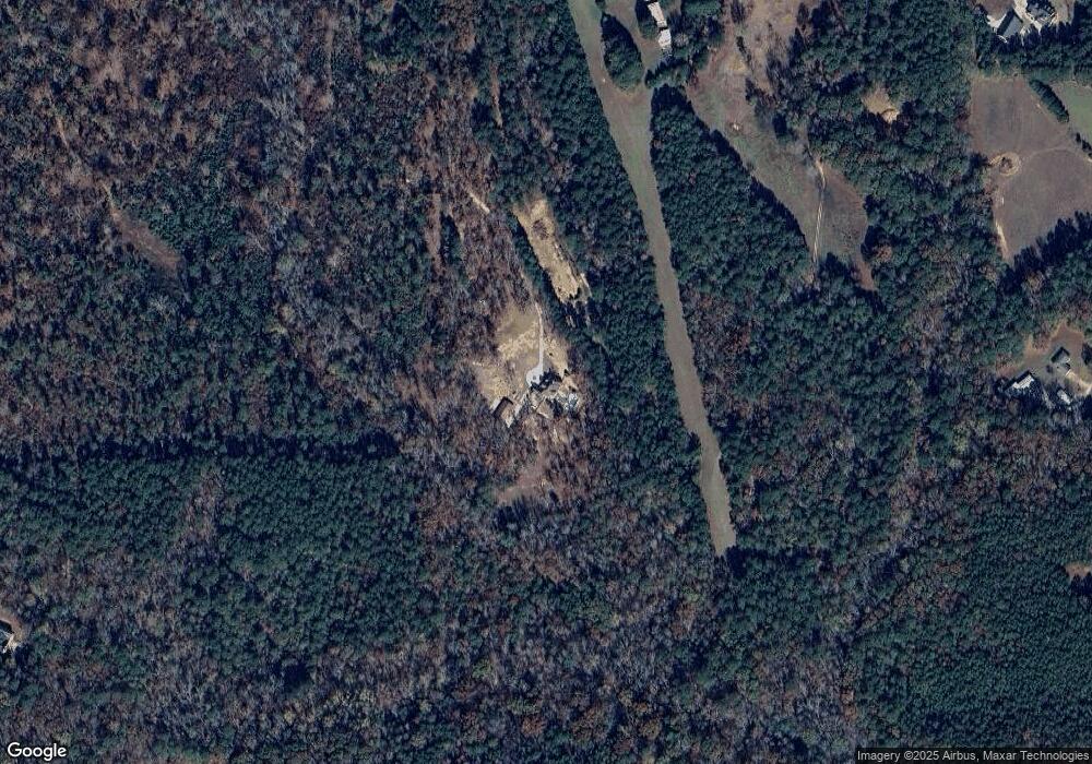
Map
Nearby Homes
- 179 Hogan Rd
- 134 Friendship Church Rd
- 385 Huckaby Rd
- 108 Morgan Mill Rd
- 911 Highway 85 Connector
- 0 Huckaby Rd Unit 10361347
- NEXT TO 443 W Mcintosh Rd
- 0 W Mcintosh Rd Unit 10654779
- 423 Woods Rd
- 19.6 ACRES Grant Rd
- 531 Grant Rd
- 135 Woodbridge Place
- 360 Morgan Mill Rd
- 130 Grace Hope Dr
- 395 W Mcintosh Rd
- 456 W Mcintosh Rd
- 0 Malone Rd Unit 10693416
- 0 Malone Rd Unit 7712630
- 155 Rising Star Rd
- 180 Alford Dr
- 235 Kelley Rd
- 287 Kelley Rd
- 287 Kelley Rd
- 311 Kelley Rd
- 149 Hogan Rd
- 820 Highway 85 Conn
- 176 Hogan Rd
- 0 (EAST TRACT) Kelley Rd
- 349 Kelley Rd
- 156 Hogan Rd
- 964 Brooks Woolsey Rd
- 212 Kelley Rd
- 182 Woods Rd
- 293 Kelley Rd
- 246 Kelley Rd
- 351 Kelley Rd
- 262 Kelley Rd
- 0 Hogan Rd Unit 2950905
- 0 Hogan Rd Unit 3266962
Your Personal Tour Guide
Ask me questions while you tour the home.