155 Kernell Rd Monroe, TN 38573
Estimated Value: $241,666 - $356,000
--
Bed
1
Bath
1,958
Sq Ft
$151/Sq Ft
Est. Value
About This Home
This home is located at 155 Kernell Rd, Monroe, TN 38573 and is currently estimated at $295,167, approximately $150 per square foot. 155 Kernell Rd is a home located in Pickett County with nearby schools including Pickett County Elementary School and Pickett County High School.
Ownership History
Date
Name
Owned For
Owner Type
Purchase Details
Closed on
Sep 3, 2010
Sold by
Cales Jeffrey Scott
Bought by
Reeder Justin
Current Estimated Value
Home Financials for this Owner
Home Financials are based on the most recent Mortgage that was taken out on this home.
Original Mortgage
$90,000
Outstanding Balance
$66,617
Interest Rate
7%
Mortgage Type
Cash
Estimated Equity
$228,550
Purchase Details
Closed on
May 4, 1988
Bought by
Scott Cales Jeffrey and Conner Sharon Rose
Create a Home Valuation Report for This Property
The Home Valuation Report is an in-depth analysis detailing your home's value as well as a comparison with similar homes in the area
Home Values in the Area
Average Home Value in this Area
Purchase History
| Date | Buyer | Sale Price | Title Company |
|---|---|---|---|
| Reeder Justin | $100,000 | -- | |
| Scott Cales Jeffrey | $5,000 | -- |
Source: Public Records
Mortgage History
| Date | Status | Borrower | Loan Amount |
|---|---|---|---|
| Open | Scott Cales Jeffrey | $90,000 |
Source: Public Records
Tax History Compared to Growth
Tax History
| Year | Tax Paid | Tax Assessment Tax Assessment Total Assessment is a certain percentage of the fair market value that is determined by local assessors to be the total taxable value of land and additions on the property. | Land | Improvement |
|---|---|---|---|---|
| 2024 | $806 | $47,150 | $11,500 | $35,650 |
| 2023 | $805 | $47,150 | $11,500 | $35,650 |
| 2022 | $881 | $36,575 | $9,050 | $27,525 |
| 2021 | $881 | $36,575 | $9,050 | $27,525 |
| 2020 | $881 | $36,575 | $9,050 | $27,525 |
| 2019 | $900 | $36,575 | $9,050 | $27,525 |
| 2018 | $478 | $27,800 | $9,050 | $18,750 |
| 2017 | $445 | $23,775 | $9,050 | $14,725 |
| 2016 | $445 | $23,775 | $9,050 | $14,725 |
| 2015 | $445 | $23,784 | $0 | $0 |
| 2014 | $445 | $23,784 | $0 | $0 |
Source: Public Records
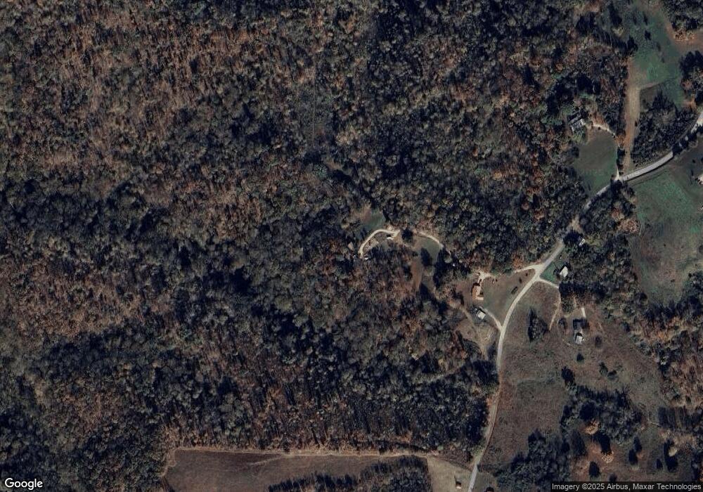
Map
Nearby Homes
- 9466 Barnes Ridge Rd
- 9676 Heard Ridge Rd
- 9107 Barnes Ridge Rd
- 4550 Southgate Rd
- 1754 Old Stover Rd
- 0 Red Bud Rd
- 1030 Red Bud Rd
- 0 Raymond Rd
- 0 Odell Jolly Rd
- 6.96 Star Point Rd
- 448 Taylor Rd
- 1111 Cherokee Rd
- 0 Keisling Ridge Rd Unit RTC2823717
- 0 Keisling Ridge Rd Unit LotWP001 21177271
- 0 Keisling Ridge Rd
- 105 Seminole Ln
- 345 Taylor Rd
- 566 Mallard Pointe Rd
- 13.41 AC Collins Rd
- 46.81 ac Collins Rd
- 105 Barnes Ridge Rd
- 9506 Barnes Ridge Rd
- 9496 Barnes Ridge Rd
- 9519 Barnes Ridge Rd
- 9524 Barnes Ridge Rd
- 9524 Barnes Ridge Rd
- 9425 Barnes Ridge Rd
- 9393 Barnes Ridge Rd
- 9559 Barnes Ridge Rd
- 9561 Barnes Ridge Rd
- 130 Dillard Beason Rd
- 9389 Barnes Ridge Rd
- 9567 Barnes Ridge Rd
- Tract 1 Tanyard Ln
- Tract 2 Tanyard Ln
- 9598 Barnes Ridge Rd
- 6ac Tanyard Rd
- 155 Barnes Cemetery Rd
- 100 Tanyard Ln
- 0 Tanyard Ln Unit 189093