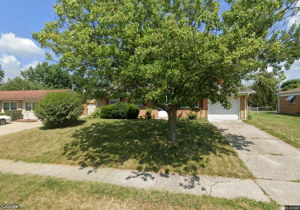
155 Loretta Ave Fairborn, OH 45324
Estimated Value: $170,000 - $184,423
3
Beds
1
Bath
972
Sq Ft
$183/Sq Ft
Est. Value
About This Home
This home is located at 155 Loretta Ave, Fairborn, OH 45324 and is currently estimated at $177,856, approximately $182 per square foot. 155 Loretta Ave is a home located in Greene County with nearby schools including Fairborn Primary School, Fairborn Intermediate School, and Fairborn Middle School.
Ownership History
Date
Name
Owned For
Owner Type
Purchase Details
Closed on
Mar 17, 2020
Sold by
Jennings Dondi and Jennings Theresa L
Bought by
Jones Kyleigh J
Current Estimated Value
Home Financials for this Owner
Home Financials are based on the most recent Mortgage that was taken out on this home.
Original Mortgage
$101,295
Outstanding Balance
$88,557
Interest Rate
3.4%
Mortgage Type
Unknown
Estimated Equity
$89,299
Purchase Details
Closed on
Nov 1, 2019
Sold by
Suhr Robert J and Suhr Barrie L
Bought by
Jennings Dondi and Jennings Theresa L
Create a Home Valuation Report for This Property
The Home Valuation Report is an in-depth analysis detailing your home's value as well as a comparison with similar homes in the area
Home Values in the Area
Average Home Value in this Area
Purchase History
| Date | Buyer | Sale Price | Title Company |
|---|---|---|---|
| Jones Kyleigh J | $107,500 | None Available | |
| Jennings Dondi | $60,000 | None Available |
Source: Public Records
Mortgage History
| Date | Status | Borrower | Loan Amount |
|---|---|---|---|
| Open | Jones Kyleigh J | $101,295 |
Source: Public Records
Tax History
| Year | Tax Paid | Tax Assessment Tax Assessment Total Assessment is a certain percentage of the fair market value that is determined by local assessors to be the total taxable value of land and additions on the property. | Land | Improvement |
|---|---|---|---|---|
| 2025 | $2,247 | $46,580 | $11,960 | $34,620 |
| 2024 | $2,247 | $46,580 | $11,960 | $34,620 |
| 2023 | $2,231 | $46,580 | $11,960 | $34,620 |
| 2022 | $1,845 | $32,440 | $7,030 | $25,410 |
| 2021 | $1,873 | $32,440 | $7,030 | $25,410 |
| 2020 | $1,882 | $32,440 | $7,030 | $25,410 |
| 2019 | $1,546 | $27,360 | $6,180 | $21,180 |
| 2018 | $1,563 | $27,360 | $6,180 | $21,180 |
| 2017 | $1,302 | $27,360 | $6,180 | $21,180 |
| 2016 | $1,560 | $27,320 | $6,180 | $21,140 |
| 2015 | $1,486 | $27,320 | $6,180 | $21,140 |
| 2014 | $1,332 | $27,320 | $6,180 | $21,140 |
Source: Public Records
Map
Nearby Homes
- 122 Wilson Ave
- 167 W Goodman Dr
- 442 Orville St
- 411 Kalynn Cir Unit 30
- 431 Park Hills Dr Unit 31
- 1853 Montgomery Ave
- 474 Kalynn Cir
- 474 Kalynn Cir Unit 19
- 482 Kalynn Cir Unit 18
- 444 Park Hills Crossing Unit 54
- 479 Park Hills Crossing
- 1807 Montgomery Ave
- 630 Hidden Valley Ct
- 2685 Oak Trace
- 1408 Mapleridge Dr
- 428 Cherrywood Dr
- 1837 Burrows Blvd
- 2884 Locke Dr
- 349 Forest St
- 1607 Montgomery Ave
Your Personal Tour Guide
Ask me questions while you tour the home.