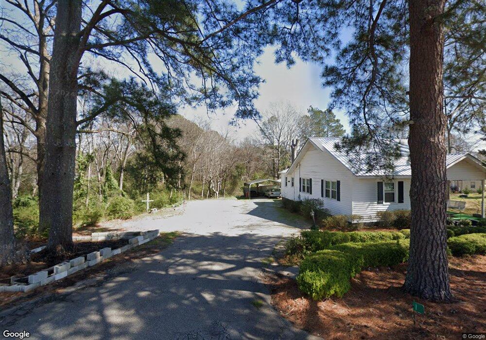
155 May Ave Lincolnton, GA 30817
Estimated Value: $154,000 - $244,000
3
Beds
2
Baths
1,639
Sq Ft
$115/Sq Ft
Est. Value
About This Home
This home is located at 155 May Ave, Lincolnton, GA 30817 and is currently estimated at $188,532, approximately $115 per square foot. 155 May Ave is a home located in Lincoln County with nearby schools including Lincoln County Elementary School, Lincoln County Middle School, and Lincoln County High School.
Ownership History
Date
Name
Owned For
Owner Type
Purchase Details
Closed on
Sep 22, 1986
Sold by
Mcbride Michael A
Bought by
Norman Phill and Norman Peggy
Current Estimated Value
Purchase Details
Closed on
Aug 31, 1982
Sold by
Walker Allen and Bond John
Bought by
Mcbride Michael A and Mcbride
Purchase Details
Closed on
Aug 19, 1982
Sold by
Farmers Home Administration
Bought by
Walker Allen and Bond John
Purchase Details
Closed on
Nov 6, 1981
Sold by
Harmon William B and Harmon Joan M
Bought by
Farmers Home Administration
Purchase Details
Closed on
Jun 4, 1977
Bought by
Harmon William B and Harmon Joan M
Create a Home Valuation Report for This Property
The Home Valuation Report is an in-depth analysis detailing your home's value as well as a comparison with similar homes in the area
Home Values in the Area
Average Home Value in this Area
Purchase History
| Date | Buyer | Sale Price | Title Company |
|---|---|---|---|
| Norman Phill | $33,500 | -- | |
| Mcbride Michael A | $24,000 | -- | |
| Walker Allen | -- | -- | |
| Farmers Home Administration | -- | -- | |
| Harmon William B | $18,000 | -- |
Source: Public Records
Tax History Compared to Growth
Tax History
| Year | Tax Paid | Tax Assessment Tax Assessment Total Assessment is a certain percentage of the fair market value that is determined by local assessors to be the total taxable value of land and additions on the property. | Land | Improvement |
|---|---|---|---|---|
| 2025 | $1,368 | $47,320 | $4,200 | $43,120 |
| 2024 | $1,392 | $43,760 | $4,200 | $39,560 |
| 2023 | $539 | $38,800 | $4,200 | $34,600 |
| 2022 | $885 | $37,400 | $4,200 | $33,200 |
| 2021 | $895 | $34,320 | $4,200 | $30,120 |
| 2020 | $846 | $28,160 | $4,200 | $23,960 |
| 2019 | $850 | $28,160 | $4,200 | $23,960 |
| 2018 | $1,075 | $28,160 | $4,200 | $23,960 |
| 2017 | $1,063 | $27,852 | $4,200 | $23,652 |
| 2016 | $801 | $27,500 | $4,200 | $23,300 |
| 2015 | -- | $23,352 | $4,212 | $19,140 |
| 2014 | -- | $23,352 | $4,212 | $19,140 |
| 2013 | -- | $27,112 | $4,212 | $22,900 |
Source: Public Records
Map
Nearby Homes
- 280 May Ave
- 125 Elm St
- Lot 32 Eagle Point
- 118 Humphrey St
- 202 Goshen St
- 125 Goshen St
- 0 Watson St
- 168 Watson Street Extension
- 168 Ext Watson St
- Na Metasville Rd
- 1118 Augusta Hwy
- 570 Wallace-Wells Cir
- 116 Jackie Way
- 200 Cathy Way
- 00A Elberton Hwy
- LOT 4 Elberton Hwy
- Lot 3a Elberton Hwy
- 1460 Leathersville Rd
- Lot 32 Petersburg Place
- 32 Eagle Pointe
- 174 May Ave
- 140 May Ave
- 0 Providence Ferry Unit LT 65B 3175750
- 0 Providence Ferry Unit LT 90A 3175792
- 0 Providence Ferry Unit LOT 84 3288886
- 0 Providence Ferry Unit 352458
- 0 Providence Ferry Unit 410772
- LOT 46 S Pointe Dr
- LOT 48 Stillwater
- LOT 189 Stillwater
- Lot 60 Serenity Pointe
- 0 Serenity Creek Dr Unit 363049
- 12.56 Ac Double Branches Rd
- 250 Elm St
- 127 May Ave
- 195 May Ave
- 240 Elm St
- 117 Pine Ct
- 264 Elm St
- 275 Elm St