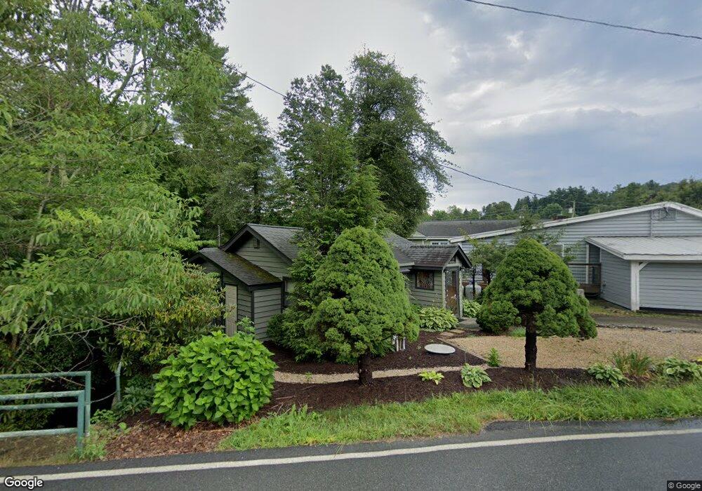
155 Ransom St Unit C4 Blowing Rock, NC 28605
Estimated Value: $415,847 - $1,041,000
2
Beds
2
Baths
1,100
Sq Ft
$572/Sq Ft
Est. Value
About This Home
This home is located at 155 Ransom St Unit C4, Blowing Rock, NC 28605 and is currently estimated at $628,712, approximately $571 per square foot. 155 Ransom St Unit C4 is a home located in Watauga County with nearby schools including Blowing Rock Elementary School and Watauga High School.
Ownership History
Date
Name
Owned For
Owner Type
Purchase Details
Closed on
Oct 21, 2017
Sold by
Bauer Scott W
Bought by
Williams Joseph and Williams Jodi
Current Estimated Value
Home Financials for this Owner
Home Financials are based on the most recent Mortgage that was taken out on this home.
Original Mortgage
$168,000
Outstanding Balance
$140,365
Interest Rate
3.83%
Mortgage Type
Credit Line Revolving
Estimated Equity
$488,347
Purchase Details
Closed on
Aug 1, 2013
Sold by
Ellison Denise and Bauer Denise
Bought by
Bauer Scott W
Create a Home Valuation Report for This Property
The Home Valuation Report is an in-depth analysis detailing your home's value as well as a comparison with similar homes in the area
Home Values in the Area
Average Home Value in this Area
Purchase History
| Date | Buyer | Sale Price | Title Company |
|---|---|---|---|
| Williams Joseph | $210,000 | None Available | |
| Bauer Scott W | -- | None Available |
Source: Public Records
Mortgage History
| Date | Status | Borrower | Loan Amount |
|---|---|---|---|
| Open | Williams Joseph | $168,000 |
Source: Public Records
Tax History Compared to Growth
Tax History
| Year | Tax Paid | Tax Assessment Tax Assessment Total Assessment is a certain percentage of the fair market value that is determined by local assessors to be the total taxable value of land and additions on the property. | Land | Improvement |
|---|---|---|---|---|
| 2024 | $2,018 | $266,800 | $109,600 | $157,200 |
| 2023 | $1,916 | $266,800 | $109,600 | $157,200 |
| 2022 | $1,916 | $266,800 | $109,600 | $157,200 |
| 2021 | $796 | $185,100 | $115,300 | $69,800 |
| 2020 | $1,548 | $185,100 | $115,300 | $69,800 |
| 2019 | $1,548 | $185,100 | $115,300 | $69,800 |
| 2018 | $1,418 | $185,100 | $115,300 | $69,800 |
| 2017 | $1,418 | $185,100 | $115,300 | $69,800 |
| 2013 | -- | $183,900 | $115,300 | $68,600 |
Source: Public Records
Map
Nearby Homes
- 257 Sunset Dr
- 3385 Highway 321
- 157 Hill St
- 148 Royal Oaks Dr Unit 231
- 148 Royal Oaks Dr Unit 235
- 148 Royal Oaks Dr Unit 226
- 176 Royal Oaks Dr Unit 115
- 140 Sunset Dr
- 119 S White Pine Dr
- 486 Ransom St Unit A2
- 214 Village Green Unit B2
- 1150 Main St Unit Dogwood
- 101 Clary Ct Unit 101
- 836 Sunset Dr
- 181 Pheasant Ln
- 314 Mockingbird Ln
- 199 Cone Vista Cir Unit 503
- 116 Globe Rd
- 199 Brooker St
- 187 Pine Village