155 Redbud Ln Unit 1 West Union, OH 45693
Estimated Value: $242,000 - $364,000
1
Bed
1
Bath
800
Sq Ft
$394/Sq Ft
Est. Value
About This Home
This home is located at 155 Redbud Ln Unit 1, West Union, OH 45693 and is currently estimated at $315,464, approximately $394 per square foot. 155 Redbud Ln Unit 1 is a home located in Adams County with nearby schools including West Union Elementary School and West Union High School.
Ownership History
Date
Name
Owned For
Owner Type
Purchase Details
Closed on
Nov 1, 2016
Sold by
Long Maribeth and Long Mitchell J
Bought by
Weiland James L and Weiland Janice L
Current Estimated Value
Purchase Details
Closed on
Jul 27, 2006
Sold by
Carter Johnny L and Carter Karen S
Bought by
Long Maribeth and Long Mitchell J
Home Financials for this Owner
Home Financials are based on the most recent Mortgage that was taken out on this home.
Original Mortgage
$71,250
Interest Rate
6.82%
Mortgage Type
Unknown
Purchase Details
Closed on
Nov 7, 2003
Sold by
Gnau Paul L
Bought by
Carter Johnny L
Purchase Details
Closed on
Oct 23, 1992
Bought by
Gnau Paul L
Create a Home Valuation Report for This Property
The Home Valuation Report is an in-depth analysis detailing your home's value as well as a comparison with similar homes in the area
Home Values in the Area
Average Home Value in this Area
Purchase History
| Date | Buyer | Sale Price | Title Company |
|---|---|---|---|
| Weiland James L | $140,000 | None Available | |
| Long Maribeth | $71,250 | None Available | |
| Carter Johnny L | $87,500 | -- | |
| Gnau Paul L | $11,000 | -- |
Source: Public Records
Mortgage History
| Date | Status | Borrower | Loan Amount |
|---|---|---|---|
| Previous Owner | Long Maribeth | $71,250 |
Source: Public Records
Tax History Compared to Growth
Tax History
| Year | Tax Paid | Tax Assessment Tax Assessment Total Assessment is a certain percentage of the fair market value that is determined by local assessors to be the total taxable value of land and additions on the property. | Land | Improvement |
|---|---|---|---|---|
| 2024 | $1,156 | $54,710 | $14,840 | $39,870 |
| 2023 | $1,185 | $54,710 | $14,840 | $39,870 |
| 2022 | $1,190 | $45,540 | $9,980 | $35,560 |
| 2021 | $1,101 | $45,540 | $9,980 | $35,560 |
| 2020 | $1,125 | $45,540 | $9,980 | $35,560 |
| 2019 | $1,450 | $45,540 | $9,980 | $35,560 |
| 2018 | $232 | $11,520 | $6,130 | $5,390 |
| 2017 | $228 | $11,520 | $6,130 | $5,390 |
| 2016 | $227 | $11,520 | $6,130 | $5,390 |
| 2015 | $29 | $6,760 | $6,760 | $0 |
| 2014 | $29 | $6,760 | $6,760 | $0 |
Source: Public Records
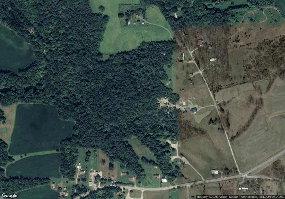
Map
Nearby Homes
- 155 Redbud Ln
- 0 Eckmansville Rd
- 223 Alex Ln
- 5021 Ohio 125
- 5087 State Route 125
- 1689 Eckmansville Rd
- 1717 Foster Rd
- 126 Robinson Hollow Rd
- 80 Madonna Dr
- 93 Jose Dr
- 1070 Eagle Creek Rd
- 1610 Lonesome Rd
- 3287 Chapparal Rd
- 9598 State Route 41
- 86 Hawk Hill Rd
- 4400 Chapparal Rd
- 40 Greenwood Ave
- 3 Chapparal Rd
- 2 Chapparal Rd
- 1 Chapparal Rd
- 111 Redbud Ln
- 225 Redbud Ln
- 220 Redbud Ln
- 280 Redbud Ln
- 3450 State Route 125
- 3450 State Route 125
- 3450 State Route 125
- 3468 State Route 125
- 0 Old Cincinnati Pike Unit 1132930
- 0 Old Cincinnati Pike Unit 1484605
- 3414 State Route 125
- 3414 St Rt 125
- 3723 State Route 125
- 17 Old Cincinnati Pike
- 3818 State Route 125
- 3723 State Route 125
- 86 Old Cincinnati Pike
- 3531 State Route 125
- 3350 State Route 125
- 3350 State Route 125