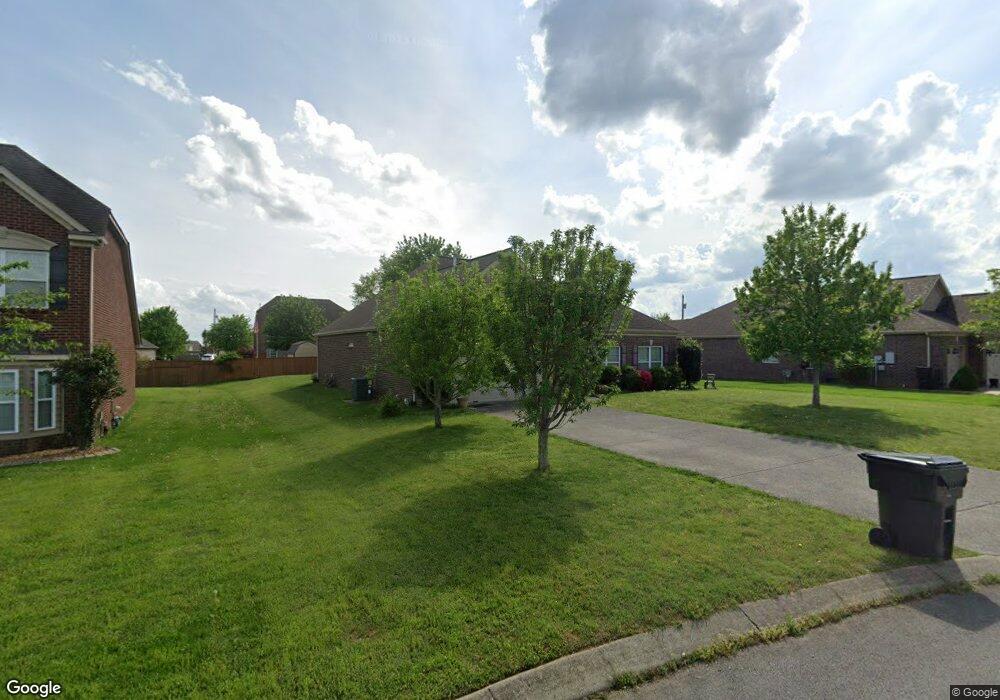
155 Remington Ave Gallatin, TN 37066
Estimated Value: $441,000 - $512,000
3
Beds
2
Baths
1,538
Sq Ft
$313/Sq Ft
Est. Value
About This Home
This home is located at 155 Remington Ave, Gallatin, TN 37066 and is currently estimated at $480,805, approximately $312 per square foot. 155 Remington Ave is a home with nearby schools including Howard Elementary School, Rucker Stewart Middle School, and Station Camp High School.
Ownership History
Date
Name
Owned For
Owner Type
Purchase Details
Closed on
Sep 24, 2012
Sold by
Taylor Ted A and Taylor Kathryn M
Bought by
Wilson Bank And Trust
Current Estimated Value
Home Financials for this Owner
Home Financials are based on the most recent Mortgage that was taken out on this home.
Original Mortgage
$198,296
Outstanding Balance
$135,621
Interest Rate
3.25%
Mortgage Type
FHA
Estimated Equity
$345,184
Purchase Details
Closed on
May 17, 2012
Sold by
Tyree Woods Co
Bought by
Goodall Builders
Create a Home Valuation Report for This Property
The Home Valuation Report is an in-depth analysis detailing your home's value as well as a comparison with similar homes in the area
Home Values in the Area
Average Home Value in this Area
Purchase History
| Date | Buyer | Sale Price | Title Company |
|---|---|---|---|
| Wilson Bank And Trust | $201,955 | None Available | |
| Goodall Builders | -- | None Available |
Source: Public Records
Mortgage History
| Date | Status | Borrower | Loan Amount |
|---|---|---|---|
| Open | Wilson Bank And Trust | $198,296 |
Source: Public Records
Tax History Compared to Growth
Tax History
| Year | Tax Paid | Tax Assessment Tax Assessment Total Assessment is a certain percentage of the fair market value that is determined by local assessors to be the total taxable value of land and additions on the property. | Land | Improvement |
|---|---|---|---|---|
| 2024 | $1,761 | $123,925 | $21,250 | $102,675 |
| 2023 | $2,430 | $79,625 | $16,250 | $63,375 |
| 2022 | $2,438 | $79,625 | $16,250 | $63,375 |
| 2021 | $2,438 | $79,625 | $16,250 | $63,375 |
| 2020 | $2,438 | $79,625 | $16,250 | $63,375 |
| 2019 | $2,438 | $0 | $0 | $0 |
| 2018 | $1,981 | $0 | $0 | $0 |
| 2017 | $1,981 | $0 | $0 | $0 |
| 2016 | $1,419 | $0 | $0 | $0 |
| 2015 | -- | $0 | $0 | $0 |
| 2014 | -- | $0 | $0 | $0 |
Source: Public Records
Map
Nearby Homes
- 540 Bradford Dr
- 1036 Middleton Ln
- 1017 Wickshire Dr
- 1328 Wentworth Dr
- 1017 Laurelwood Dr
- 1273 Wentworth Dr
- 608 Bradford Dr
- 420 Dorchester Place
- 1239 Wentworth Dr
- 300 Remington Ave
- 415 Buckingham Blvd
- 305 Remington Ave
- 1245 Amherst Ct
- 376 Huntington Dr
- 294 Buckingham Blvd
- 156 Hackney Ln
- 130 Saxony Way
- 139 Buckingham Blvd
- 1176 Liberty Ln
- 650 Neals Ln
- 151 Remington Ave
- 159 Remington Ave
- 147 Remington Ave
- 219 Skirving Terrace
- 215 Skirving Terrace
- 223 Skirving Terrace
- 165 Remington Ave
- 154 Remington Ave
- 150 Remington Ave
- 143 Remington Ave
- 158 Remington Ave
- 169 Remington Ave
- 196 Skirving Terrace
- 227 Skirving Terrace
- 166 Remington Ave
- 200 Skirving Terrace
- 146 Remington Ave
- 170 Remington Ave
- 177 Remington Ave