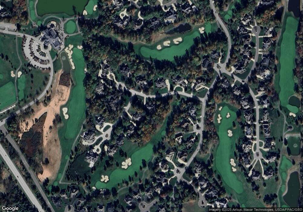
155 Saint Andrews Ln Aurora, OH 44202
Estimated Value: $1,035,000 - $1,105,000
4
Beds
5
Baths
5,423
Sq Ft
$197/Sq Ft
Est. Value
About This Home
This home is located at 155 Saint Andrews Ln, Aurora, OH 44202 and is currently estimated at $1,068,936, approximately $197 per square foot. 155 Saint Andrews Ln is a home located in Portage County with nearby schools including Miller Elementary School, Craddock/Miller Elementary School, and Leighton Elementary School.
Ownership History
Date
Name
Owned For
Owner Type
Purchase Details
Closed on
Nov 20, 2009
Sold by
Chapman Timothy L and Chapman Sharon A
Bought by
Savukas Stanley M
Current Estimated Value
Home Financials for this Owner
Home Financials are based on the most recent Mortgage that was taken out on this home.
Original Mortgage
$395,500
Outstanding Balance
$257,585
Interest Rate
4.95%
Mortgage Type
Purchase Money Mortgage
Estimated Equity
$811,351
Purchase Details
Closed on
May 26, 1994
Bought by
Chapman Timothy L
Create a Home Valuation Report for This Property
The Home Valuation Report is an in-depth analysis detailing your home's value as well as a comparison with similar homes in the area
Home Values in the Area
Average Home Value in this Area
Purchase History
| Date | Buyer | Sale Price | Title Company |
|---|---|---|---|
| Savukas Stanley M | $565,000 | Revere Title | |
| Chapman Timothy L | $175,900 | -- |
Source: Public Records
Mortgage History
| Date | Status | Borrower | Loan Amount |
|---|---|---|---|
| Open | Savukas Stanley M | $395,500 |
Source: Public Records
Tax History Compared to Growth
Tax History
| Year | Tax Paid | Tax Assessment Tax Assessment Total Assessment is a certain percentage of the fair market value that is determined by local assessors to be the total taxable value of land and additions on the property. | Land | Improvement |
|---|---|---|---|---|
| 2024 | $14,305 | $320,010 | $83,130 | $236,880 |
| 2023 | $13,739 | $250,220 | $66,500 | $183,720 |
| 2022 | $12,441 | $250,220 | $66,500 | $183,720 |
| 2021 | $12,512 | $250,220 | $66,500 | $183,720 |
| 2020 | $11,693 | $218,330 | $66,500 | $151,830 |
| 2019 | $11,787 | $218,330 | $66,500 | $151,830 |
| 2018 | $12,415 | $208,780 | $72,980 | $135,800 |
| 2017 | $12,415 | $208,780 | $72,980 | $135,800 |
| 2016 | $11,172 | $208,780 | $72,980 | $135,800 |
| 2015 | $11,489 | $208,780 | $72,980 | $135,800 |
| 2014 | $11,722 | $208,780 | $72,980 | $135,800 |
| 2013 | $12,231 | $208,780 | $72,980 | $135,800 |
Source: Public Records
Map
Nearby Homes
- 339 Aberdeen Ln
- 438 Club Dr
- 398 N Chillicothe Rd
- 85 Brighton Dr
- 405 Club Dr W
- 0 Aurora Hill Dr Unit 3956102
- 185 N Bissell Rd
- 905 Club Dr W
- 580 Hardwick Dr
- 159 Royal Oak Dr
- 109 S Chillicothe Rd
- 622 Club Dr W
- 640 Club Dr W
- V/L Ohio 82
- 818 Hilliary Ln
- 752 Club Dr W
- 762 Club Dr W
- 705 Club Dr
- 805 Club Dr W
- 810 Club Dr W
- 200 Knightsbridge Ln
- 170 Saint Andrews Ln
- 140 Saint Andrews Ln
- 181 Knightsbridge Ln
- 0 Knightsbridge Ln
- 196 Knightsbridge Ln
- 265 Warwick Ct
- 206 Saint Andrews Ln
- 130 Saint Andrews Ln
- 275 Warwick Ct
- 171 Knightsbridge Ln
- 255 Warwick Ct
- 190 Knightsbridge Ln
- 180 Saint Andrews Ln
- 179 Knightsbridge Ln
- 210 Saint Andrews Ln
- 237 Chelsea Ct
- 245 Warwick Ct
- 191 Knightsbridge Ln
- 120 Saint Andrews Ln
