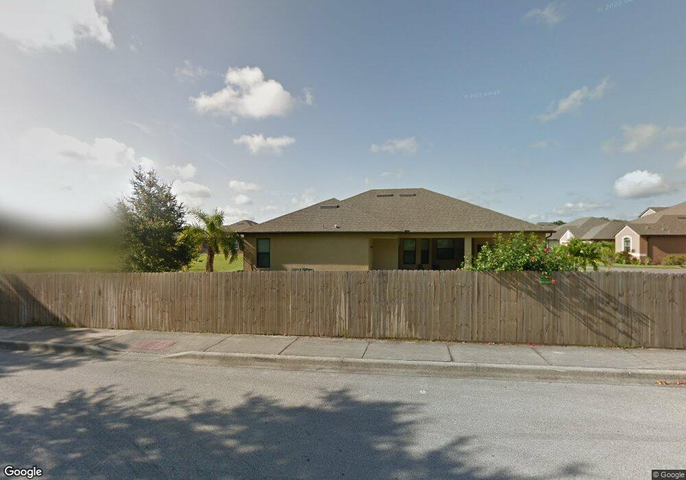
155 Sirius Ct West Melbourne, FL 32904
Estimated Value: $506,914 - $576,000
4
Beds
3
Baths
2,558
Sq Ft
$206/Sq Ft
Est. Value
About This Home
This home is located at 155 Sirius Ct, West Melbourne, FL 32904 and is currently estimated at $527,729, approximately $206 per square foot. 155 Sirius Ct is a home located in Brevard County with nearby schools including University Park Elementary School, Central Middle School, and Melbourne Senior High School.
Ownership History
Date
Name
Owned For
Owner Type
Purchase Details
Closed on
Sep 30, 2013
Sold by
D R Horton Inc
Bought by
Thorpe Eric and Thorpe Michelle
Current Estimated Value
Home Financials for this Owner
Home Financials are based on the most recent Mortgage that was taken out on this home.
Original Mortgage
$207,812
Outstanding Balance
$156,578
Interest Rate
4.57%
Mortgage Type
New Conventional
Estimated Equity
$371,151
Purchase Details
Closed on
Jun 6, 2012
Sold by
Branch Banking & Trust Company
Bought by
D R Horton Inc
Create a Home Valuation Report for This Property
The Home Valuation Report is an in-depth analysis detailing your home's value as well as a comparison with similar homes in the area
Home Values in the Area
Average Home Value in this Area
Purchase History
| Date | Buyer | Sale Price | Title Company |
|---|---|---|---|
| Thorpe Eric | $259,765 | Dhi Title Of Florida Inc | |
| D R Horton Inc | $1,050,000 | Attorney |
Source: Public Records
Mortgage History
| Date | Status | Borrower | Loan Amount |
|---|---|---|---|
| Open | Thorpe Eric | $207,812 |
Source: Public Records
Tax History Compared to Growth
Tax History
| Year | Tax Paid | Tax Assessment Tax Assessment Total Assessment is a certain percentage of the fair market value that is determined by local assessors to be the total taxable value of land and additions on the property. | Land | Improvement |
|---|---|---|---|---|
| 2025 | $3,319 | $262,900 | -- | -- |
| 2024 | $3,219 | $255,500 | -- | -- |
| 2023 | $3,219 | $244,120 | $0 | $0 |
| 2022 | $3,007 | $237,010 | $0 | $0 |
| 2021 | $3,154 | $230,110 | $0 | $0 |
| 2020 | $3,096 | $226,940 | $0 | $0 |
| 2019 | $3,105 | $221,840 | $0 | $0 |
| 2018 | $3,112 | $217,710 | $0 | $0 |
| 2017 | $3,089 | $213,240 | $0 | $0 |
| 2016 | $3,133 | $208,860 | $20,000 | $188,860 |
| 2015 | $3,219 | $207,410 | $20,000 | $187,410 |
| 2014 | $3,226 | $206,000 | $20,000 | $186,000 |
Source: Public Records
Map
Nearby Homes
- 244 Murano Dr
- 257 Mcclain Dr
- 3804 Gail Blvd
- 3803 Gail Blvd
- 502 Jennifer Cir
- 564 Jennifer Cir
- 4404 Gail Blvd
- 4500 Gail Blvd
- 41 Piney Branch Way Unit A
- 554 Jennifer Cir
- 3384 SW Elizabeth St
- 89 NW Irwin Ave
- 3288 SW Elizabeth St
- 504 Ruth Cir
- 53 Piney Branch Way Unit D
- 556 Ruth Cir
- 52 Piney Branch Way Unit C
- 52 Piney Branch Way Unit A
- 543 Ruth Cir
- 158 West Ct
- 165 Sirius Ct
- 180 Sirius Ct
- 1480 Dorchester Ave
- 185 Sirius Ct
- 184 & 188 Sunset Dr
- 190 Sirius Ct
- 180 Sunset Dr
- 176 & 180 Sunset Dr
- 176 Sunset Dr
- 195 Sirius Ct
- 277 Mcclain Dr
- 279 Mcclain Dr
- 185 Westover Dr
- 200 Sirius Ct
- 162 Sunset Dr
- 253 Adamo Way
- 275 Mcclain Dr
- 205 Sirius Ct
- 232 Midori Way
- 263 Adamo Way