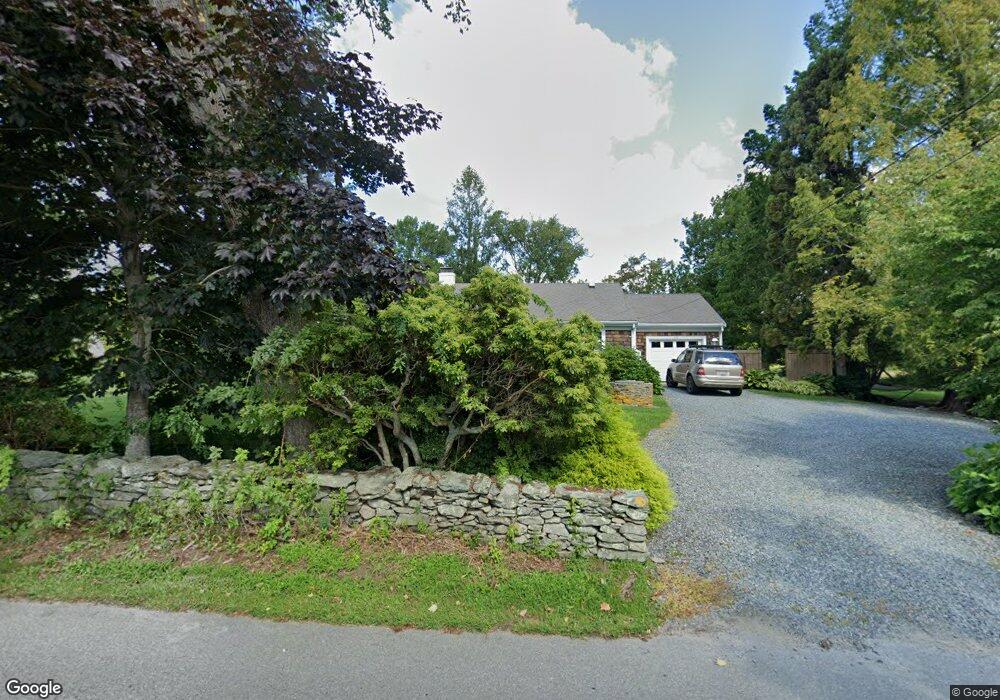
155 Swamp Rd Little Compton, RI 02837
Estimated Value: $757,641 - $949,000
3
Beds
1
Bath
988
Sq Ft
$881/Sq Ft
Est. Value
About This Home
This home is located at 155 Swamp Rd, Little Compton, RI 02837 and is currently estimated at $870,910, approximately $881 per square foot. 155 Swamp Rd is a home located in Newport County with nearby schools including Wilbur & McMahon School.
Ownership History
Date
Name
Owned For
Owner Type
Purchase Details
Closed on
May 21, 2025
Sold by
Spencer Timothy C and Spencer Lauren L
Bought by
Spencer Timothy C
Current Estimated Value
Purchase Details
Closed on
Jun 2, 2009
Sold by
Garrett Dorothy S
Bought by
Spencer Timothy C and Spencer Lauren L
Home Financials for this Owner
Home Financials are based on the most recent Mortgage that was taken out on this home.
Original Mortgage
$380,000
Interest Rate
4.87%
Mortgage Type
Purchase Money Mortgage
Create a Home Valuation Report for This Property
The Home Valuation Report is an in-depth analysis detailing your home's value as well as a comparison with similar homes in the area
Home Values in the Area
Average Home Value in this Area
Purchase History
| Date | Buyer | Sale Price | Title Company |
|---|---|---|---|
| Spencer Timothy C | -- | None Available | |
| Spencer Timothy C | -- | None Available | |
| Spencer Timothy C | $425,000 | -- | |
| Spencer Timothy C | $425,000 | -- |
Source: Public Records
Mortgage History
| Date | Status | Borrower | Loan Amount |
|---|---|---|---|
| Previous Owner | Spencer Timothy C | $220,000 | |
| Previous Owner | Spencer Timothy C | $380,000 |
Source: Public Records
Tax History
| Year | Tax Paid | Tax Assessment Tax Assessment Total Assessment is a certain percentage of the fair market value that is determined by local assessors to be the total taxable value of land and additions on the property. | Land | Improvement |
|---|---|---|---|---|
| 2025 | $2,372 | $495,300 | $313,800 | $181,500 |
| 2024 | $2,007 | $395,100 | $220,100 | $175,000 |
| 2023 | $1,960 | $395,100 | $220,100 | $175,000 |
| 2022 | $1,936 | $395,100 | $220,100 | $175,000 |
| 2021 | $1,965 | $325,300 | $193,200 | $132,100 |
| 2020 | $1,949 | $325,300 | $193,200 | $132,100 |
| 2019 | $1,146 | $193,200 | $193,200 | $0 |
| 2018 | $1,992 | $334,200 | $202,100 | $132,100 |
| 2016 | $1,895 | $334,200 | $202,100 | $132,100 |
| 2015 | $1,970 | $342,600 | $201,100 | $141,500 |
| 2014 | $1,932 | $342,600 | $201,100 | $141,500 |
Source: Public Records
Map
Nearby Homes
- 38 Old Bull Ln
- 141 S Of Commons Rd
- 1 Butts Rock Rd
- 128 Maple Ave
- 441 W Main Rd
- 89 S Shore Rd
- 30 Indian Rd
- 138 Willow Ave
- 0 Willow Ave
- 141 Peckham Rd
- 505 Long Hwy
- 17 Ferolbink Way
- 155 W Main Rd
- 515 Indian Ave
- 255 John Dyer Rd
- 0 Indian Ave
- 100 Summerfield Ln
- 225 Old Mill Ln
- 180 Cottontail Dr
- 245 John Dyer Rd
Your Personal Tour Guide
Ask me questions while you tour the home.