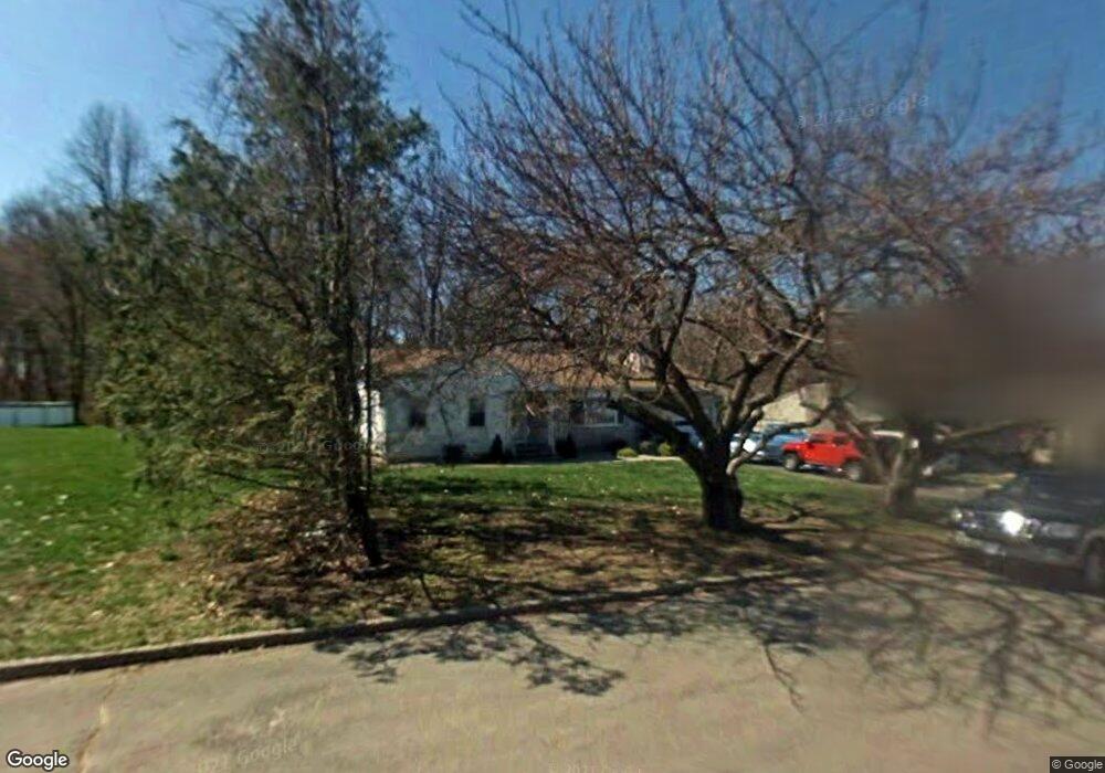
155 Tuttle Dr New Haven, CT 06512
East Shore NeighborhoodEstimated Value: $448,839 - $484,000
3
Beds
2
Baths
1,890
Sq Ft
$248/Sq Ft
Est. Value
About This Home
This home is located at 155 Tuttle Dr, New Haven, CT 06512 and is currently estimated at $468,710, approximately $247 per square foot. 155 Tuttle Dr is a home located in New Haven County with nearby schools including Cold Spring School, St Francis & St Rose Of Lima School, and Pathway School.
Ownership History
Date
Name
Owned For
Owner Type
Purchase Details
Closed on
Aug 26, 1997
Sold by
Delrocco Steven and Delrocco Jacqueline A
Bought by
Connelly George J
Current Estimated Value
Home Financials for this Owner
Home Financials are based on the most recent Mortgage that was taken out on this home.
Original Mortgage
$92,000
Interest Rate
7%
Mortgage Type
Unknown
Create a Home Valuation Report for This Property
The Home Valuation Report is an in-depth analysis detailing your home's value as well as a comparison with similar homes in the area
Home Values in the Area
Average Home Value in this Area
Purchase History
| Date | Buyer | Sale Price | Title Company |
|---|---|---|---|
| Connelly George J | $115,000 | -- | |
| Connelly George J | $115,000 | -- |
Source: Public Records
Mortgage History
| Date | Status | Borrower | Loan Amount |
|---|---|---|---|
| Closed | Connelly George J | $160,000 | |
| Closed | Connelly George J | $90,000 | |
| Closed | Connelly George J | $20,000 | |
| Closed | Connelly George J | $92,000 |
Source: Public Records
Tax History Compared to Growth
Tax History
| Year | Tax Paid | Tax Assessment Tax Assessment Total Assessment is a certain percentage of the fair market value that is determined by local assessors to be the total taxable value of land and additions on the property. | Land | Improvement |
|---|---|---|---|---|
| 2025 | $9,198 | $233,450 | $64,470 | $168,980 |
| 2024 | $8,988 | $233,450 | $64,470 | $168,980 |
| 2023 | $0 | $233,450 | $64,470 | $168,980 |
| 2022 | $0 | $233,450 | $64,470 | $168,980 |
| 2021 | $0 | $176,750 | $40,320 | $136,430 |
| 2020 | $0 | $176,750 | $40,320 | $136,430 |
| 2019 | $0 | $176,750 | $40,320 | $136,430 |
| 2018 | $7,597 | $176,750 | $40,320 | $136,430 |
| 2017 | $6,837 | $176,750 | $40,320 | $136,430 |
| 2016 | $7,268 | $174,930 | $41,930 | $133,000 |
| 2015 | $7,268 | $174,930 | $41,930 | $133,000 |
| 2014 | $7,268 | $174,930 | $41,930 | $133,000 |
Source: Public Records
Map
Nearby Homes
- 745 Townsend Ave Unit Lot 1
- 745 Townsend Ave Unit Lot 2
- 745 Townsend Ave Unit Lot 4
- 745 Townsend Ave Unit Lot 6
- 745 Townsend Ave Unit Lot 3
- 745 Townsend Ave Unit Lot 5
- 140 Townsend Terrace
- 66 Elizabeth Ann Dr
- 62 Huntington Rd Unit 7
- 30 Upson Terrace
- 4 Laura Ln
- 366 Burr St
- 444 Woodward Ave
- 34 Hughes St
- 18 Lenox St
- 32 Huntington Ave
- 516 Woodward Ave
- 44 Huntington Ave
- 52 Stuyvesant Ave
- 45 Huntington Ave
- 167 Tuttle Dr
- 139 Tuttle Dr
- 150 Tuttle Dr
- 160 Tuttle Dr
- 144 Tuttle Dr
- 129 Tuttle Dr
- 168 Tuttle Dr
- 136 Tuttle Dr
- 174 Tuttle Dr
- 128 Tuttle Dr
- 123 Tuttle Dr
- 757 Townsend Ave
- 1 Horsley Ave
- 120 Tuttle Dr
- 115 Tuttle Dr
- 4 Horsley Ave
- 745 Townsend Ave Unit Lot 8
- 745 Townsend Ave Unit Lot 7
- 745 Townsend Ave Unit Lot 9
- 745 Townsend Ave Unit Lot 10