1550 Mearns Rd Warminster, PA 18974
Estimated Value: $600,000 - $634,000
3
Beds
2
Baths
2,080
Sq Ft
$295/Sq Ft
Est. Value
About This Home
This home is located at 1550 Mearns Rd, Warminster, PA 18974 and is currently estimated at $613,961, approximately $295 per square foot. 1550 Mearns Rd is a home located in Bucks County with nearby schools including Warwick Elementary School, Holicong Middle School, and Central Bucks High School - East.
Ownership History
Date
Name
Owned For
Owner Type
Purchase Details
Closed on
Jun 24, 1994
Sold by
Whytosek Eugene L and Whytosek Suzanne
Bought by
Whytosek Eugene L and Whytosek Susan E
Current Estimated Value
Home Financials for this Owner
Home Financials are based on the most recent Mortgage that was taken out on this home.
Original Mortgage
$120,000
Interest Rate
6.62%
Purchase Details
Closed on
Apr 19, 1972
Bought by
Whytosek Eugene L and Whytosek Suzanne
Create a Home Valuation Report for This Property
The Home Valuation Report is an in-depth analysis detailing your home's value as well as a comparison with similar homes in the area
Home Values in the Area
Average Home Value in this Area
Purchase History
| Date | Buyer | Sale Price | Title Company |
|---|---|---|---|
| Whytosek Eugene L | -- | -- | |
| Whytosek Eugene L | -- | -- |
Source: Public Records
Mortgage History
| Date | Status | Borrower | Loan Amount |
|---|---|---|---|
| Closed | Whytosek Eugene L | $120,000 |
Source: Public Records
Tax History Compared to Growth
Tax History
| Year | Tax Paid | Tax Assessment Tax Assessment Total Assessment is a certain percentage of the fair market value that is determined by local assessors to be the total taxable value of land and additions on the property. | Land | Improvement |
|---|---|---|---|---|
| 2025 | $6,809 | $39,120 | $9,920 | $29,200 |
| 2024 | $6,809 | $39,120 | $9,920 | $29,200 |
| 2023 | $6,593 | $39,120 | $9,920 | $29,200 |
| 2022 | $6,520 | $39,120 | $9,920 | $29,200 |
| 2021 | $6,447 | $39,120 | $9,920 | $29,200 |
| 2020 | $6,447 | $39,120 | $9,920 | $29,200 |
| 2019 | $6,408 | $39,120 | $9,920 | $29,200 |
| 2018 | $6,408 | $39,120 | $9,920 | $29,200 |
| 2017 | $6,359 | $39,120 | $9,920 | $29,200 |
| 2016 | $6,359 | $39,120 | $9,920 | $29,200 |
| 2015 | -- | $39,120 | $9,920 | $29,200 |
| 2014 | -- | $39,120 | $9,920 | $29,200 |
Source: Public Records
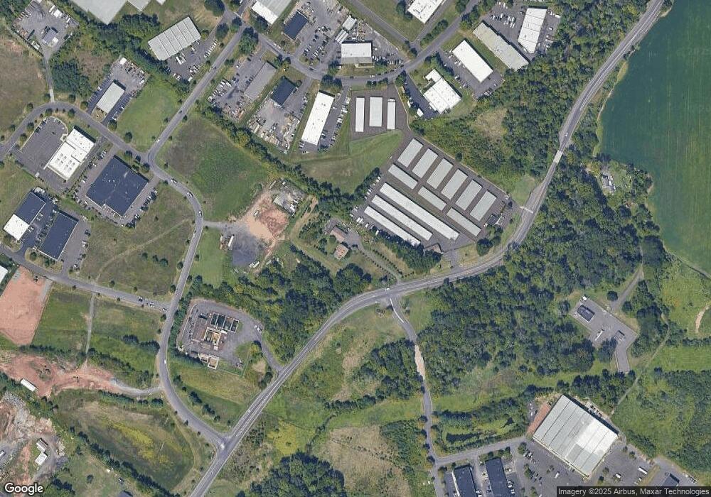
Map
Nearby Homes
- 902 Hamilton Way
- 451 Twin Streams Dr
- 921 Nathaniel Trail
- 934 Nathaniel Trail
- 1229 Manor Dr
- 202 Strawberry Ct Unit 249
- 1240 June Rd
- 1008 Julian Dr W Unit W
- 115 Grandview Dr
- 950 Nathaniel Trail
- 667 Arbor Ln
- 1252 Dahlia Rd
- 875 W Bristol Rd
- 675 Cheryl Dr
- 1306 Gabriel Ln
- 868 Aster Rd
- 938 Jamison St
- 9 Spring Mill Dr
- 11 Spring Mill Dr
- 3303 Knox Ct Unit 3303
- 1979 Stout Dr Unit 2
- 1979 Stout Dr Unit 6
- 1979 Stout Dr Unit 4
- 1965 Stout Dr
- 1927 Stout Dr Unit 4
- 1927 Stout Dr Unit 3
- Lot 15 & 16 Campus Dr
- 1701 Mearns Rd
- 300 Campus Dr Unit 16
- 300 Campus Dr Unit 18
- 300 Campus Dr Unit 12
- 300 Campus Dr Unit 11
- 201 Camars Dr Unit 201
- 2049 Stout Dr Unit B1
- 2049 Stout Dr Unit B2&B3
- 2049 Stout Dr Unit A4
- 2049 Stout Dr Unit B2
- 2049 Stout Dr Unit B3
- 2049 Stout Dr Unit A5
- 2049 Stout Dr Unit BI