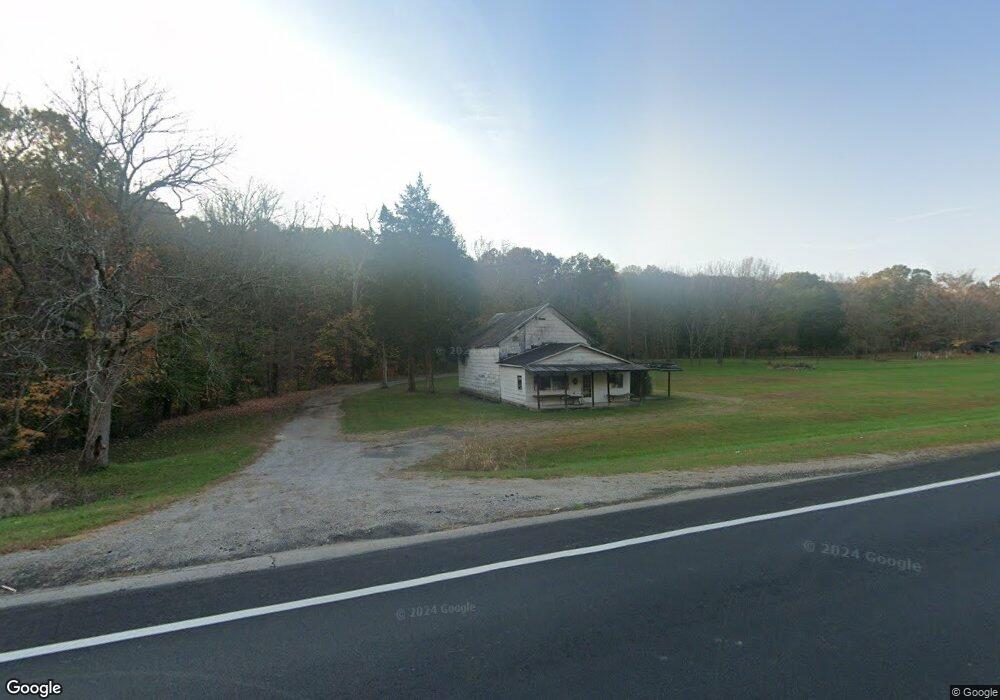
15500 State Route 41 West Union, OH 45693
Estimated Value: $185,000 - $227,000
3
Beds
2
Baths
1,690
Sq Ft
$121/Sq Ft
Est. Value
About This Home
This home is located at 15500 State Route 41, West Union, OH 45693 and is currently estimated at $204,184, approximately $120 per square foot. 15500 State Route 41 is a home located in Adams County with nearby schools including West Union Elementary School, West Union High School, and Adams County Christian School.
Ownership History
Date
Name
Owned For
Owner Type
Purchase Details
Closed on
Mar 26, 2021
Sold by
Poynter Terre A
Bought by
Poynter Richard L
Current Estimated Value
Purchase Details
Closed on
Jul 15, 2002
Sold by
Ashley Eldonna Humphreys
Bought by
Poynter Richard L and Poynter Terre A
Purchase Details
Closed on
Jun 2, 1994
Bought by
Humphreys Eldon B
Create a Home Valuation Report for This Property
The Home Valuation Report is an in-depth analysis detailing your home's value as well as a comparison with similar homes in the area
Home Values in the Area
Average Home Value in this Area
Purchase History
| Date | Buyer | Sale Price | Title Company |
|---|---|---|---|
| Poynter Richard L | -- | None Available | |
| Poynter Richard L | $62,500 | -- | |
| Humphreys Eldon B | $50,000 | -- |
Source: Public Records
Tax History Compared to Growth
Tax History
| Year | Tax Paid | Tax Assessment Tax Assessment Total Assessment is a certain percentage of the fair market value that is determined by local assessors to be the total taxable value of land and additions on the property. | Land | Improvement |
|---|---|---|---|---|
| 2024 | $828 | $34,620 | $10,680 | $23,940 |
| 2023 | $855 | $34,620 | $10,680 | $23,940 |
| 2022 | $862 | $29,230 | $7,810 | $21,420 |
| 2021 | $739 | $29,230 | $7,810 | $21,420 |
| 2020 | $756 | $29,230 | $7,810 | $21,420 |
| 2019 | $756 | $29,230 | $7,810 | $21,420 |
| 2018 | $640 | $26,430 | $7,810 | $18,620 |
| 2017 | $629 | $26,430 | $7,810 | $18,620 |
| 2016 | $628 | $26,430 | $7,810 | $18,620 |
| 2015 | $659 | $27,970 | $8,050 | $19,920 |
| 2014 | $659 | $27,970 | $8,050 | $19,920 |
Source: Public Records
Map
Nearby Homes
- 13465 State Route 41
- 292 Larry Baynum Rd
- 108 Chirsdon Ln
- 3460 Logans Ln
- 0 State Route 41 Unit 1830107
- 260 Randy St
- 216 Kurt St
- 1478 Robinson Hollow Rd
- 120 Randy St
- 917 Logans Ln
- 410 Owens Rd
- 363 Crystal Rd
- 618 Maple St
- 3188 Ohio 125
- 1082 E Walnut St
- 601 E Main St
- 70 Logans Ln
- 501 E Mulberry St
- 725 E Walnut St
- 526 E Walnut St
- 14365 State Route 41
- 13942 State Route 41
- 13953 State Route 41
- 13830 State Route 41
- 13878 State Route 41
- 13738 State Route 41
- 13775 State Route 41
- 13706 State Route 41
- 13701 State Route 41
- 13521 State Route 41
- 13628 State Route 41
- 13646 State Route 41
- 13655 State Route 41
- 13521 State Route 41
- 13503 State Route 41
- 13437 State Route 41
- 13455 State Route 41
- 13493 State Route 41
- 13496 State Route 41
- 13388 State Route 41