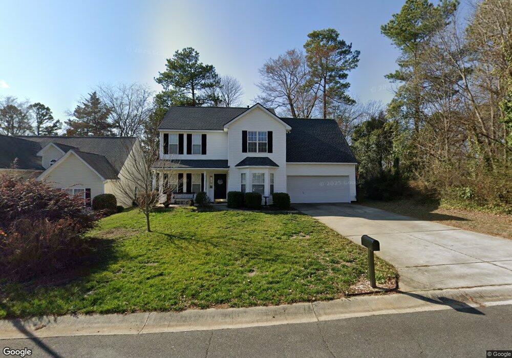
1551 Bellridge Rd Rock Hill, SC 29732
Estimated Value: $336,840 - $353,000
--
Bed
1
Bath
1,766
Sq Ft
$194/Sq Ft
Est. Value
About This Home
This home is located at 1551 Bellridge Rd, Rock Hill, SC 29732 and is currently estimated at $342,710, approximately $194 per square foot. 1551 Bellridge Rd is a home located in York County with nearby schools including Ebinport Elementary School, W.C. Sullivan Middle School, and Rock Hill High School.
Ownership History
Date
Name
Owned For
Owner Type
Purchase Details
Closed on
May 10, 2007
Sold by
Tiller Bradford and Tiller Celeste
Bought by
Melsha Scott C and Melsha Sherri A
Current Estimated Value
Home Financials for this Owner
Home Financials are based on the most recent Mortgage that was taken out on this home.
Original Mortgage
$160,886
Outstanding Balance
$97,862
Interest Rate
6.17%
Mortgage Type
VA
Estimated Equity
$244,848
Purchase Details
Closed on
Dec 6, 2000
Sold by
Don Galloway Llc
Bought by
Tiller Bradford
Create a Home Valuation Report for This Property
The Home Valuation Report is an in-depth analysis detailing your home's value as well as a comparison with similar homes in the area
Home Values in the Area
Average Home Value in this Area
Purchase History
| Date | Buyer | Sale Price | Title Company |
|---|---|---|---|
| Melsha Scott C | $157,500 | None Available | |
| Tiller Bradford | $146,950 | -- |
Source: Public Records
Mortgage History
| Date | Status | Borrower | Loan Amount |
|---|---|---|---|
| Open | Melsha Scott C | $160,886 |
Source: Public Records
Tax History Compared to Growth
Tax History
| Year | Tax Paid | Tax Assessment Tax Assessment Total Assessment is a certain percentage of the fair market value that is determined by local assessors to be the total taxable value of land and additions on the property. | Land | Improvement |
|---|---|---|---|---|
| 2024 | $1,423 | $6,486 | $1,312 | $5,174 |
| 2023 | $1,427 | $6,486 | $1,314 | $5,172 |
| 2022 | $1,437 | $6,486 | $1,314 | $5,172 |
| 2021 | -- | $6,486 | $1,314 | $5,172 |
| 2020 | $1,440 | $6,486 | $0 | $0 |
| 2019 | $1,292 | $5,640 | $0 | $0 |
| 2018 | $1,290 | $5,640 | $0 | $0 |
| 2017 | $1,242 | $5,640 | $0 | $0 |
| 2016 | $1,231 | $5,640 | $0 | $0 |
| 2014 | $1,173 | $5,640 | $1,200 | $4,440 |
| 2013 | $1,173 | $5,640 | $1,240 | $4,400 |
Source: Public Records
Map
Nearby Homes
- 1642 Amber Ln
- 128 Front Porch Dr
- 1738 Northgate Ln
- 1948 Marett Blvd
- 914 Ragin Ln
- 1631 Wendover Ct
- 1151 Mckinnon Dr
- 1149 Mckinnon Dr
- 1140 Mckinnon Dr Unit 15
- 1585 Kallaramo Rd
- 1134 Mckinnon Dr
- 1670 Midbrook Dr
- 2009 Pinevalley Rd
- 854 Hillcroft Place
- 1811 Charter Dr
- 1110 Mckinnon Dr
- 1845 Matthews Dr
- 1098 Farm Pond Ln Unit 5A
- 1516 Ellen Ave
- 1780 Lumpkin Cir
- 1543 Bellridge Rd
- 1539 Bellridge Rd
- 1604 Ingleside Ct
- 1554 Bellridge Rd
- 1550 Bellridge Rd
- 1455 Ebinport Rd
- 1603 Ingleside Ct
- 1533 Bellridge Rd
- 1304 Hollythorne Dr
- 1608 Ingleside Ct
- 1529 Bellridge Rd
- 1310 Hollythorne Dr
- 1607 Ingleside Ct
- 1317 Hollythorne Dr
- 1435 Ebinport Rd
- 1316 Hollythorne Dr
- 1526 Bellridge Rd
- 1467 Ebinport Rd
- 1527 Bellridge Rd
- 1321 Hollythorne Dr