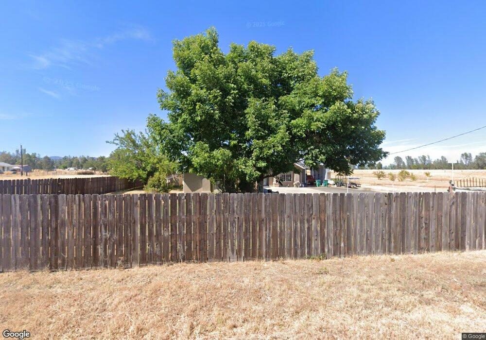
15518 Cloverdale Rd Anderson, CA 96007
Estimated Value: $389,000 - $422,574
3
Beds
2
Baths
1,486
Sq Ft
$272/Sq Ft
Est. Value
About This Home
This home is located at 15518 Cloverdale Rd, Anderson, CA 96007 and is currently estimated at $403,894, approximately $271 per square foot. 15518 Cloverdale Rd is a home located in Shasta County.
Ownership History
Date
Name
Owned For
Owner Type
Purchase Details
Closed on
Aug 15, 2017
Sold by
Mason George and Mason Gloria
Bought by
Mason George E and Mason Gloria J
Current Estimated Value
Purchase Details
Closed on
Feb 17, 2010
Sold by
Ruth Paul F and Ruth Jennifer L
Bought by
Mason George and Mason Gloria
Purchase Details
Closed on
Apr 22, 2004
Sold by
Loffmark James M and Loffmark Clarissa I
Bought by
Ruth Paul F and Ruth Jennifer L
Home Financials for this Owner
Home Financials are based on the most recent Mortgage that was taken out on this home.
Original Mortgage
$239,920
Interest Rate
5.35%
Mortgage Type
Unknown
Purchase Details
Closed on
Oct 18, 2002
Sold by
Mepham Evelyn M and Dollase Evelyn M
Bought by
Loffmark James M and Loffmark Clarissa I
Purchase Details
Closed on
Apr 10, 2000
Sold by
Lee and Lonna
Bought by
Mepham Evelyn M and Dollase Evelyn M
Create a Home Valuation Report for This Property
The Home Valuation Report is an in-depth analysis detailing your home's value as well as a comparison with similar homes in the area
Home Values in the Area
Average Home Value in this Area
Purchase History
| Date | Buyer | Sale Price | Title Company |
|---|---|---|---|
| Mason George E | -- | None Available | |
| Mason George | $189,000 | Fidelity Natl Title Co Of Ca | |
| Ruth Paul F | $300,000 | Fidelity Natl Title Co Of Ca | |
| Loffmark James M | -- | -- | |
| Mepham Evelyn M | -- | -- |
Source: Public Records
Mortgage History
| Date | Status | Borrower | Loan Amount |
|---|---|---|---|
| Previous Owner | Ruth Paul F | $239,920 |
Source: Public Records
Tax History Compared to Growth
Tax History
| Year | Tax Paid | Tax Assessment Tax Assessment Total Assessment is a certain percentage of the fair market value that is determined by local assessors to be the total taxable value of land and additions on the property. | Land | Improvement |
|---|---|---|---|---|
| 2025 | $2,612 | $243,949 | $70,986 | $172,963 |
| 2024 | $2,564 | $239,167 | $69,595 | $169,572 |
| 2023 | $2,564 | $234,479 | $68,231 | $166,248 |
| 2022 | $2,499 | $229,883 | $66,894 | $162,989 |
| 2021 | $2,468 | $225,377 | $65,583 | $159,794 |
| 2020 | $2,445 | $223,067 | $64,911 | $158,156 |
| 2019 | $2,398 | $218,694 | $63,639 | $155,055 |
| 2018 | $2,336 | $214,407 | $62,392 | $152,015 |
| 2017 | $2,322 | $210,204 | $61,169 | $149,035 |
| 2016 | $2,208 | $206,083 | $59,970 | $146,113 |
| 2015 | $2,214 | $202,989 | $59,070 | $143,919 |
| 2014 | $2,194 | $199,013 | $57,913 | $141,100 |
Source: Public Records
Map
Nearby Homes
- 15557 Cloverdale Rd
- 6400 Dale Ln
- 0 Cloverdale Rd Unit SN25180858
- 15947 Butterfield Ln
- 40 Acres Heavenly Valley Ln
- 17895 Duck Canyon Rd
- 17795 Duck Canyon Rd
- 14485 Small Farms Rd
- 3.97 Acres Renshaw Ln
- 5941 Oak St
- 0 Lower Coal Pit Dr Unit 25-3995
- 0 Lower Coal Pit Rd Unit 25-4389
- 14575 Lower Coal Pit Dr
- 16433 China Gulch Dr
- 6703 High Valley Rd
- 16325 Tacoma Ln
- 0 Small Farms Dr Unit OC25228200
- 7600 Camino Del Encina Dr
- 15888 El Camino Robles Rd
- 16837 Dot Ln
- 6510 Dale Ln
- 6530 Dale Ln
- 6540 Dale Ln
- 15559 Cloverdale Rd
- 15487 Cloverdale Rd
- 15400 Cloverdale Rd
- 6546 Dale Ln
- 15421 Cloverdale Rd
- 15581 Cloverdale Rd
- 15601 Cloverdale Rd
- 6435 Dale Ln
- 15615 Cloverdale Rd
- 1906 Wilbur Ln
- 6412 Dale Ln
- 6421 Dale Ln
- 15657 Cloverdale Rd
- 15390 Cloverdale Rd
- 15644 Cloverdale Rd
- 15680 Cloverdale Rd
- 6376 Dale Ln