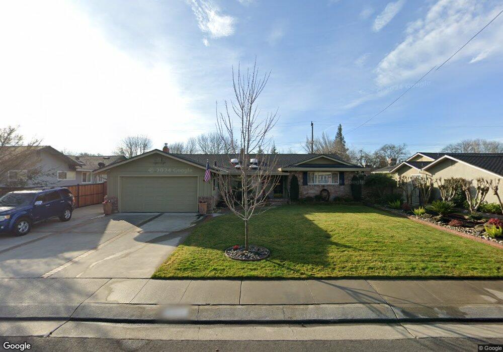
1552 Burnside Way Stockton, CA 95207
Parkwoods NeighborhoodEstimated Value: $469,000 - $584,000
3
Beds
3
Baths
2,266
Sq Ft
$235/Sq Ft
Est. Value
About This Home
This home is located at 1552 Burnside Way, Stockton, CA 95207 and is currently estimated at $532,307, approximately $234 per square foot. 1552 Burnside Way is a home located in San Joaquin County with nearby schools including Lincoln Elementary School, Sierra Middle School, and Lincoln High School.
Ownership History
Date
Name
Owned For
Owner Type
Purchase Details
Closed on
Nov 21, 2024
Sold by
Revoc Donald H and Revoc Alva
Bought by
Michael J Garibaldi Trust and Garibaldi
Current Estimated Value
Purchase Details
Closed on
Jul 29, 2022
Sold by
Donald H Garibaldi Trust
Bought by
Donald H Garibaldi 1999 Revocable Trust
Purchase Details
Closed on
Feb 11, 2022
Sold by
Louise Garibaldi Alva
Bought by
Donald H And Alva L Garibaldi 1999 Revocable and Garibaldi Alva
Purchase Details
Closed on
Feb 2, 2022
Sold by
Revoc Donald H and Revoc Alva
Bought by
Donald H Garibaldi Trust
Purchase Details
Closed on
Apr 28, 1999
Sold by
Garibaldi Donald H and L A
Bought by
The Donald H & Alva L Garibaldi 1999 Rev
Create a Home Valuation Report for This Property
The Home Valuation Report is an in-depth analysis detailing your home's value as well as a comparison with similar homes in the area
Home Values in the Area
Average Home Value in this Area
Purchase History
| Date | Buyer | Sale Price | Title Company |
|---|---|---|---|
| Michael J Garibaldi Trust | -- | None Listed On Document | |
| Donald H Garibaldi 1999 Revocable Trust | -- | None Listed On Document | |
| Donald H And Alva L Garibaldi 1999 Revocable | -- | -- | |
| Donald H Garibaldi Trust | -- | None Listed On Document | |
| The Donald H & Alva L Garibaldi 1999 Rev | -- | -- |
Source: Public Records
Tax History Compared to Growth
Tax History
| Year | Tax Paid | Tax Assessment Tax Assessment Total Assessment is a certain percentage of the fair market value that is determined by local assessors to be the total taxable value of land and additions on the property. | Land | Improvement |
|---|---|---|---|---|
| 2025 | $1,752 | $138,248 | $23,086 | $115,162 |
| 2024 | $1,604 | $135,538 | $22,634 | $112,904 |
| 2023 | $1,591 | $132,882 | $22,191 | $110,691 |
| 2022 | $1,515 | $130,277 | $21,756 | $108,521 |
| 2021 | $1,494 | $127,724 | $21,330 | $106,394 |
| 2020 | $1,492 | $126,416 | $21,112 | $105,304 |
| 2019 | $1,469 | $123,939 | $20,699 | $103,240 |
| 2018 | $1,441 | $121,510 | $20,294 | $101,216 |
| 2017 | $1,411 | $119,129 | $19,897 | $99,232 |
| 2016 | $1,395 | $116,794 | $19,507 | $97,287 |
| 2014 | $1,362 | $112,787 | $18,838 | $93,949 |
Source: Public Records
Map
Nearby Homes
- 1607 Stanton Way
- 1152 Stanton Way
- 7516 Brentwood Dr
- 1906 Meadow Ave
- 1720 Mcclellan Way
- 1214 Mcclellan Way
- 2025 W Lincoln Rd
- 1005 W Benjamin Holt Dr
- 2140 Pennington Ct
- 7307 Woodside Dr
- 1703 Polk Way
- 2039 W Benjamin Holt Dr
- 8011 N Pershing Ave
- 1132 Douglas Rd
- 7512 Heather Dr
- 1489 W Swain Rd
- 7709 Heather Dr
- 1633 Porter Way
- 1629 Porter Way
- 7622 Oakcreek Dr
- 1542 Burnside Way
- 1562 Burnside Way
- 1553 Greeley Way
- 1543 Greeley Way
- 1563 Greeley Way
- 1532 Burnside Way
- 1614 Burnside Way
- 1547 Burnside Way
- 1563 Burnside Way
- 1533 Greeley Way
- 1605 Greeley Way
- 1529 Burnside Way
- 1522 Burnside Way
- 1605 Burnside Way
- 1523 Greeley Way
- 1622 Burnside Way Unit 23
- 1519 Burnside Way Unit 23
- 1621 Greeley Way
- 1556 Greeley Way
- 1544 Greeley Way