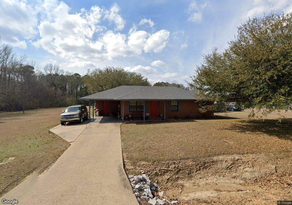
1552 Hughes Rd Columbus, MS 39702
Estimated Value: $138,349 - $162,000
3
Beds
2
Baths
1,117
Sq Ft
$138/Sq Ft
Est. Value
About This Home
This home is located at 1552 Hughes Rd, Columbus, MS 39702 and is currently estimated at $153,837, approximately $137 per square foot. 1552 Hughes Rd is a home located in Lowndes County.
Ownership History
Date
Name
Owned For
Owner Type
Purchase Details
Closed on
Mar 29, 2019
Sold by
Over Doris Llc
Bought by
Thomas Yoshi M
Current Estimated Value
Home Financials for this Owner
Home Financials are based on the most recent Mortgage that was taken out on this home.
Original Mortgage
$82,478
Outstanding Balance
$73,186
Interest Rate
4.87%
Mortgage Type
FHA
Estimated Equity
$80,651
Purchase Details
Closed on
May 31, 2005
Sold by
Stephenson Bobby L
Bought by
Curry Donald D
Home Financials for this Owner
Home Financials are based on the most recent Mortgage that was taken out on this home.
Original Mortgage
$65,964
Interest Rate
5.74%
Create a Home Valuation Report for This Property
The Home Valuation Report is an in-depth analysis detailing your home's value as well as a comparison with similar homes in the area
Home Values in the Area
Average Home Value in this Area
Purchase History
| Date | Buyer | Sale Price | Title Company |
|---|---|---|---|
| Thomas Yoshi M | -- | -- | |
| Curry Donald D | -- | -- |
Source: Public Records
Mortgage History
| Date | Status | Borrower | Loan Amount |
|---|---|---|---|
| Open | Thomas Yoshi M | $82,478 | |
| Previous Owner | Curry Donald D | $65,964 |
Source: Public Records
Tax History Compared to Growth
Tax History
| Year | Tax Paid | Tax Assessment Tax Assessment Total Assessment is a certain percentage of the fair market value that is determined by local assessors to be the total taxable value of land and additions on the property. | Land | Improvement |
|---|---|---|---|---|
| 2025 | $422 | $7,321 | $0 | $0 |
| 2024 | $416 | $7,321 | $0 | $0 |
| 2023 | $363 | $6,428 | $0 | $0 |
| 2022 | $339 | $6,053 | $0 | $0 |
| 2021 | $318 | $6,053 | $0 | $0 |
| 2020 | $287 | $6,053 | $0 | $0 |
| 2019 | $790 | $8,891 | $0 | $0 |
| 2018 | $790 | $8,703 | $0 | $0 |
| 2017 | $755 | $8,703 | $0 | $0 |
| 2016 | $755 | $8,703 | $0 | $0 |
| 2015 | $779 | $8,984 | $0 | $0 |
| 2014 | $779 | $8,984 | $0 | $0 |
Source: Public Records
Map
Nearby Homes
- 479 Bryant Rd
- 186 Wind Chase Dr
- 116 Kings Path
- Ms-69
- 0 0 Hwy 69 S
- 9 Monticello Cir
- 732 Thornton Dr
- 76 Richardson Rd
- 916 Bud Price Rd
- 836 Oswalt Rd
- 0 New Hope Rd Unit 25-2493
- 0 Tenn Tom Estates Unit 25-259
- 524 Jones Dr
- 338 Rogers Way
- 358 Rogers Way
- 49 Freeman Dr
- 669 Jones Dr
- 187 Jones Dr
- 17 Paige Cove
- 4 Stringer Ln