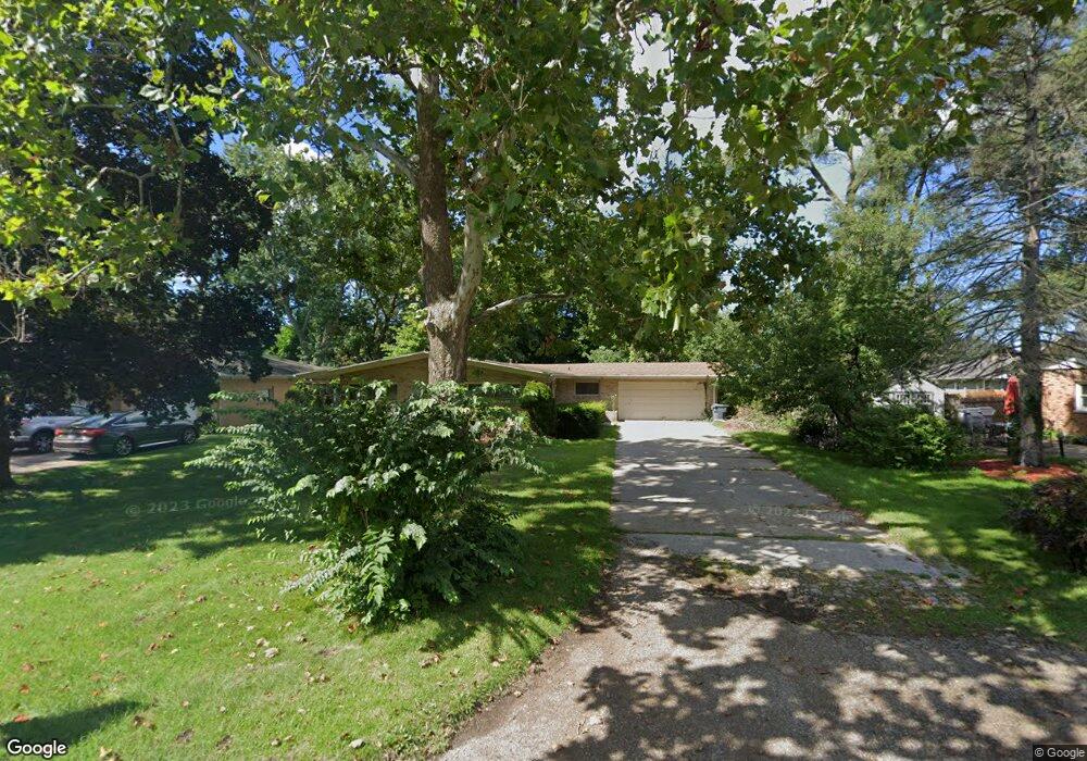
1554 Shawnee Rd Benton Harbor, MI 49022
Fair Plain NeighborhoodEstimated Value: $233,000 - $249,000
3
Beds
2
Baths
1,500
Sq Ft
$160/Sq Ft
Est. Value
About This Home
This home is located at 1554 Shawnee Rd, Benton Harbor, MI 49022 and is currently estimated at $239,954, approximately $159 per square foot. 1554 Shawnee Rd is a home located in Berrien County with nearby schools including Fair Plain Middle School, Benton Harbor High School, and Benton Harbor Charter School Academy.
Ownership History
Date
Name
Owned For
Owner Type
Purchase Details
Closed on
Mar 29, 2005
Sold by
Marks Jeannine L and Marks Revocable Liv Jeannine L
Bought by
Steward Dorothy J
Current Estimated Value
Purchase Details
Closed on
Feb 7, 2005
Sold by
Select Portfolio Servicing Inc
Bought by
Jp Morgan Chase Bank and Truman Capital Mortgage Loan Trust 2002-
Purchase Details
Closed on
Sep 25, 2003
Sold by
Johnson Andrew W and Johnson Joan B
Bought by
Fairbanks Capital Corp and Tcif Reo 2 Llc
Purchase Details
Closed on
Jun 3, 1999
Purchase Details
Closed on
Jun 29, 1983
Purchase Details
Closed on
Oct 1, 1975
Create a Home Valuation Report for This Property
The Home Valuation Report is an in-depth analysis detailing your home's value as well as a comparison with similar homes in the area
Home Values in the Area
Average Home Value in this Area
Purchase History
| Date | Buyer | Sale Price | Title Company |
|---|---|---|---|
| Steward Dorothy J | -- | -- | |
| Jp Morgan Chase Bank | -- | E Title Agency Inc | |
| Fairbanks Capital Corp | $112,897 | -- | |
| -- | $84,100 | -- | |
| -- | $50,000 | -- | |
| -- | $33,000 | -- |
Source: Public Records
Tax History Compared to Growth
Tax History
| Year | Tax Paid | Tax Assessment Tax Assessment Total Assessment is a certain percentage of the fair market value that is determined by local assessors to be the total taxable value of land and additions on the property. | Land | Improvement |
|---|---|---|---|---|
| 2025 | $4,515 | $100,700 | $0 | $0 |
| 2024 | $928 | $80,400 | $0 | $0 |
| 2023 | $884 | $60,700 | $0 | $0 |
| 2022 | $841 | $57,200 | $0 | $0 |
| 2021 | $1,362 | $59,600 | $11,300 | $48,300 |
| 2020 | $1,269 | $58,700 | $0 | $0 |
| 2019 | $1,212 | $48,700 | $5,400 | $43,300 |
| 2018 | $1,145 | $48,700 | $0 | $0 |
| 2017 | $2,258 | $46,800 | $0 | $0 |
| 2016 | $2,197 | $46,500 | $0 | $0 |
| 2015 | $2,191 | $42,400 | $0 | $0 |
| 2014 | $762 | $44,600 | $0 | $0 |
Source: Public Records
Map
Nearby Homes
- 290 Bradford Rd
- 379 Western Ave
- 513 N Ottawa Rd
- 424 W Napier Ave
- 484 W Napier Ave
- 1565 Miami Rd
- 235 Fisk Rd
- 1803 Heath Ct
- 401 Hoover Ave
- 1510 Moccasin Trail
- 1525 Moccasin Trail
- 180 Emery Ave
- 304 W May St
- 1235 Colfax Ave
- 202 Searles Ave
- 1267 Broadway
- 1762 Smyers Dr
- 1000 Riverview Dr Unit 11
- 1332 Columbus Ave
- 1606 Stanley Dr
- 1574 Shawnee Rd
- 400 Bradford Rd
- 1540 Shawnee Rd
- 414 Bradford Rd
- 1535 Maumee Rd
- 428 Bradford Rd
- 1545 Shawnee Rd
- 1555 Shawnee Rd
- 1573 Shawnee Rd
- 1594 Shawnee Rd
- 1545 Maumee Rd
- 431 Chippewa Rd
- 366 Bradford Rd
- 349 Chippewa Rd
- 451 Chippewa Rd
- 401 Bradford Rd
- 0 Chippewa Rd
- 389 Bradford Rd
- 423 Bradford Rd
- 1536 Maumee Rd