1555 Burnison Rd Mansfield, OH 44903
Estimated Value: $579,000 - $738,000
3
Beds
3
Baths
2,800
Sq Ft
$240/Sq Ft
Est. Value
About This Home
This home is located at 1555 Burnison Rd, Mansfield, OH 44903 and is currently estimated at $672,339, approximately $240 per square foot. 1555 Burnison Rd is a home located in Richland County with nearby schools including Stingel Elementary School, Ontario Middle School, and Ontario High School.
Ownership History
Date
Name
Owned For
Owner Type
Purchase Details
Closed on
Jun 26, 2019
Sold by
Ruby Sutter Robert E and Ruby Patrick Londa
Bought by
Ruby Sutter Robert E and Ruby Patrick Londa
Current Estimated Value
Purchase Details
Closed on
Oct 30, 2006
Sold by
Caudill Lawrence and Caudill Barbara L
Bought by
Sutter Robert E and Patrick Londa Ruby
Purchase Details
Closed on
Mar 10, 1999
Sold by
Holland Dudley E
Bought by
Caudill Lawrence and Caudill Barbara
Purchase Details
Closed on
Jul 13, 1998
Sold by
Holda Donna J
Bought by
Holland Dudley E
Purchase Details
Closed on
Jan 4, 1993
Bought by
Smith Donna J
Create a Home Valuation Report for This Property
The Home Valuation Report is an in-depth analysis detailing your home's value as well as a comparison with similar homes in the area
Home Values in the Area
Average Home Value in this Area
Purchase History
| Date | Buyer | Sale Price | Title Company |
|---|---|---|---|
| Ruby Sutter Robert E | -- | None Available | |
| Sutter Robert E | $405,000 | Fidelity Title & Closing Ser | |
| Caudill Lawrence | $78,000 | -- | |
| Holland Dudley E | $45,000 | -- | |
| Smith Donna J | -- | -- |
Source: Public Records
Tax History Compared to Growth
Tax History
| Year | Tax Paid | Tax Assessment Tax Assessment Total Assessment is a certain percentage of the fair market value that is determined by local assessors to be the total taxable value of land and additions on the property. | Land | Improvement |
|---|---|---|---|---|
| 2024 | $7,723 | $164,320 | $36,760 | $127,560 |
| 2023 | $7,723 | $164,320 | $36,760 | $127,560 |
| 2022 | $7,046 | $129,970 | $24,130 | $105,840 |
| 2021 | $7,058 | $129,970 | $24,130 | $105,840 |
| 2020 | $7,535 | $129,970 | $24,130 | $105,840 |
| 2019 | $7,082 | $111,820 | $20,450 | $91,370 |
| 2018 | $6,016 | $111,820 | $20,450 | $91,370 |
| 2017 | $5,922 | $111,820 | $20,450 | $91,370 |
| 2016 | $5,930 | $111,320 | $14,690 | $96,630 |
| 2015 | $5,924 | $111,320 | $14,690 | $96,630 |
| 2014 | $5,935 | $111,320 | $14,690 | $96,630 |
| 2012 | $2,789 | $114,760 | $15,140 | $99,620 |
Source: Public Records
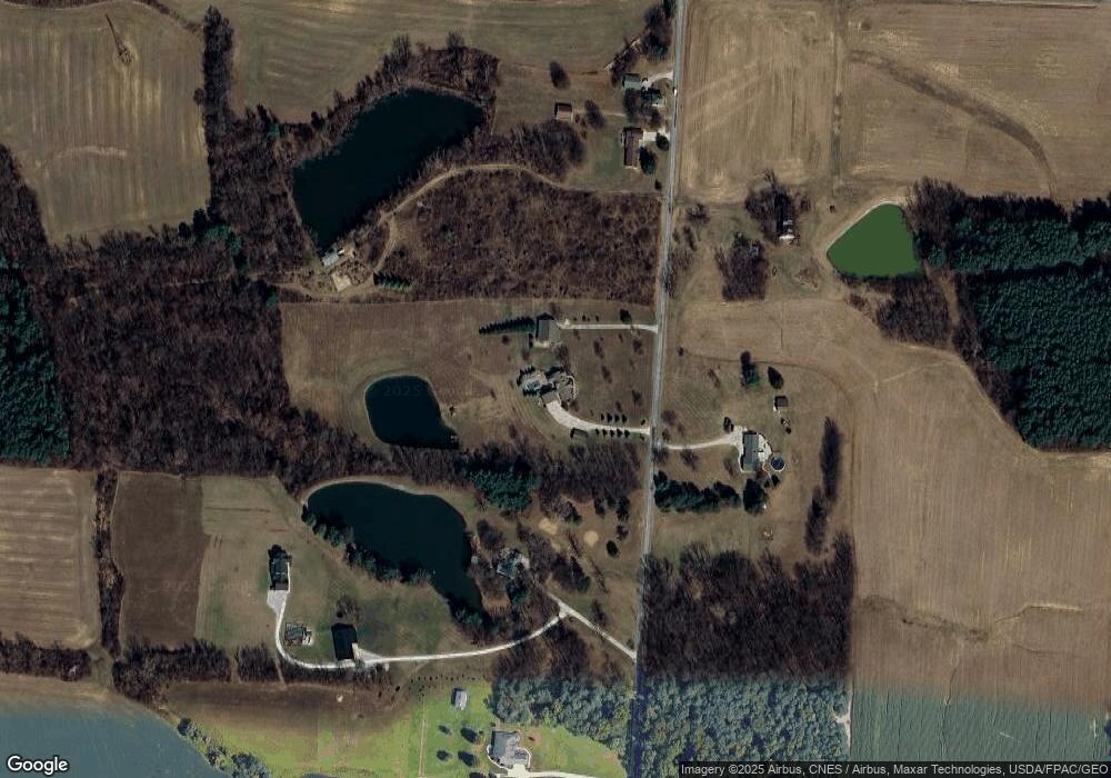
Map
Nearby Homes
- 3251 Cookton Grange Rd
- 1671 State Route 314 N
- 1689 State Route 314
- 1689 Ohio 314
- 1970 Rock Rd
- 1025 Elizabeth Ave
- 2696 Walker Lake Rd
- 1085 Lewis Rd
- 895 State Route 314 N
- 832 State Route 314 N
- 4451 Beam Rd
- 2583 Deerfield Ln
- 1125 Cobblefield Dr Unit 59
- 2674 Stiving Rd
- 2401 Whitney Ave
- 3308 Park Ave W
- 2346 Deerfield Ln Unit 2346
- 0 Rudy Rd
- 2270 Ferguson Rd
- 700 Villa Dr
- 1489 Burnison Rd
- 1390 Burnison Rd
- 1617 Burnison Rd
- 1607 Burnison Rd
- 1550 Burnison Rd
- 1491 Burnison Rd
- 1627 Burnison Rd
- 1447 Burnison Rd
- 1423 Burnison Rd
- 1411 Burnison Rd
- 3440 Cookton Grange Rd
- 3510 Cookton Grange Rd
- 3291 Cookton Grange Rd
- 3275 Cookton Grange Rd
- 3562 Cookton Grange Rd
- 1350 Burnison Rd
- 1563 Rock Rd
- 3320 Cookton Grange Rd
- 1320 Burnison Rd
- 3620 Cookton Grange Rd