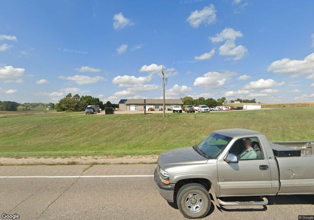
1555 Highway 20 Sioux City, IA 51106
Estimated Value: $375,389
--
Bed
--
Bath
3,192
Sq Ft
$118/Sq Ft
Est. Value
About This Home
This home is located at 1555 Highway 20, Sioux City, IA 51106 and is currently estimated at $375,389, approximately $117 per square foot. 1555 Highway 20 is a home located in Woodbury County with nearby schools including Bronson Elementary School, Lawton Junior/Senior High School, and Siouxland Community Christian School.
Ownership History
Date
Name
Owned For
Owner Type
Purchase Details
Closed on
Mar 2, 2017
Sold by
Art And Science Veterinary Services Llc
Bought by
Kovarna Properties Llc
Current Estimated Value
Home Financials for this Owner
Home Financials are based on the most recent Mortgage that was taken out on this home.
Original Mortgage
$210,000
Outstanding Balance
$140,533
Interest Rate
4.16%
Mortgage Type
Commercial
Estimated Equity
$234,856
Purchase Details
Closed on
Jan 13, 2012
Sold by
Carr Thomas F and Carr Linda F
Bought by
Art & Science Veterinary Services Llc
Home Financials for this Owner
Home Financials are based on the most recent Mortgage that was taken out on this home.
Original Mortgage
$409,457
Interest Rate
3.93%
Mortgage Type
New Conventional
Create a Home Valuation Report for This Property
The Home Valuation Report is an in-depth analysis detailing your home's value as well as a comparison with similar homes in the area
Home Values in the Area
Average Home Value in this Area
Purchase History
| Date | Buyer | Sale Price | Title Company |
|---|---|---|---|
| Kovarna Properties Llc | -- | None Available | |
| Art & Science Veterinary Services Llc | $250,000 | None Available |
Source: Public Records
Mortgage History
| Date | Status | Borrower | Loan Amount |
|---|---|---|---|
| Open | Kovarna Properties Llc | $210,000 | |
| Previous Owner | Art & Science Veterinary Services Llc | $409,457 |
Source: Public Records
Tax History Compared to Growth
Tax History
| Year | Tax Paid | Tax Assessment Tax Assessment Total Assessment is a certain percentage of the fair market value that is determined by local assessors to be the total taxable value of land and additions on the property. | Land | Improvement |
|---|---|---|---|---|
| 2025 | $4,404 | $289,160 | $71,960 | $217,200 |
| 2024 | $4,404 | $291,810 | $71,960 | $219,850 |
| 2023 | $3,952 | $291,810 | $71,960 | $219,850 |
| 2022 | $3,912 | $247,060 | $71,960 | $175,100 |
| 2021 | $3,912 | $247,060 | $71,960 | $175,100 |
| 2020 | $3,834 | $244,340 | $71,170 | $173,170 |
| 2019 | $3,664 | $244,340 | $71,170 | $173,170 |
| 2018 | $2,272 | $236,520 | $71,170 | $165,350 |
| 2017 | $2,398 | $150,920 | $71,170 | $79,750 |
| 2016 | $2,350 | $150,920 | $0 | $0 |
| 2015 | $3,278 | $131,240 | $61,890 | $69,350 |
| 2014 | $3,539 | $131,240 | $61,890 | $69,350 |
Source: Public Records
Map
Nearby Homes
- 2564 Nicklaus Blvd
- 2600 Nicklaus Blvd
- 2640 Nicklaus Blvd
- 6290 Tiger Dr
- 6413 Mickelson St
- 1441 170th St
- 5651 S Roswell St
- 5641 S Roswell St
- 6540 Palm Valley Dr
- 6119 Morningside Ave
- 3441 Glen Ellen Rd
- 6810 Brookside Dr
- 6104 Pine View Dr
- 1909 S Olive St
- 5208 Laurel Ave
- 5811 Lorraine Ave
- 1830 S Maple St
- 17 Heritage Place
- 2704 Willow St
- 2024 S Maple St
- 105 Grandy Dr
- 102 Grandy Dr
- 1567 Buchanan Ave
- 104 Grandy Dr
- 106 Grandy Dr
- 1610 Glen Ellen Rd
- 1563 Buchanan Ave
- 103 Grandy Dr
- 107 Grandy Dr
- 1512 Highway 20
- 108 Grandy Dr
- 109 Grandy Dr
- 1574 Benton Ave
- 110 Grandy Dr
- 1600 Glen Ellen Rd
- 1518 155th St
- 111 Grandy Dr
- 112 Grandy Dr
- 1548 Buchanan Ave
- 115 Grandy Dr