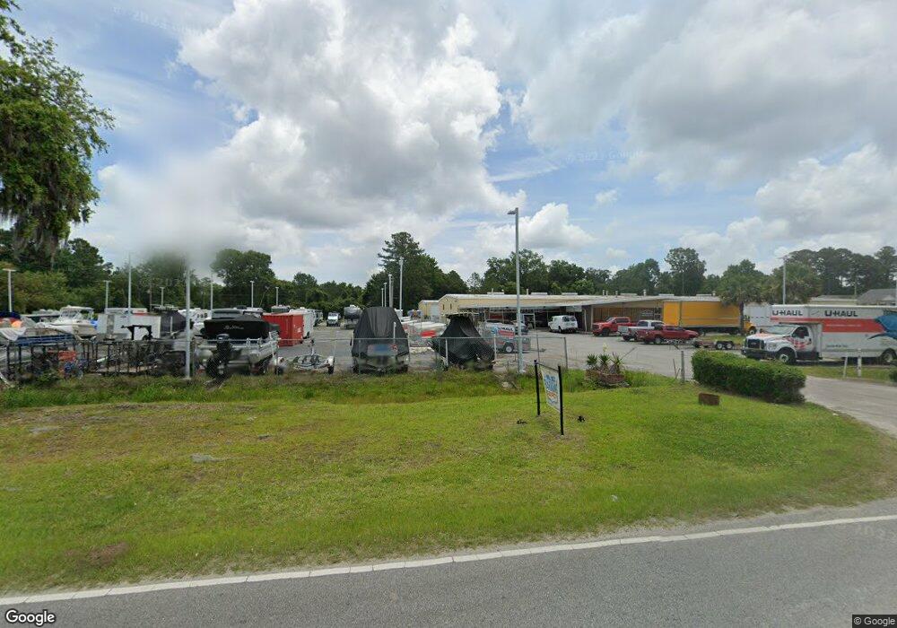
1555 Salem Rd Beaufort, SC 29902
Estimated Value: $2,221,651
--
Bed
--
Bath
25,874
Sq Ft
$86/Sq Ft
Est. Value
About This Home
This home is located at 1555 Salem Rd, Beaufort, SC 29902 and is currently estimated at $2,221,651, approximately $85 per square foot. 1555 Salem Rd is a home located in Beaufort County with nearby schools including Beaufort Elementary School, Beaufort Middle School, and Battery Creek High School.
Ownership History
Date
Name
Owned For
Owner Type
Purchase Details
Closed on
Mar 11, 2016
Sold by
Butler Family Holdings L Llp
Bought by
First Carolina Corporation Of Sc
Current Estimated Value
Purchase Details
Closed on
Oct 31, 2005
Sold by
Bison Properties Llc
Bought by
Butler Family Holdings Lllp
Home Financials for this Owner
Home Financials are based on the most recent Mortgage that was taken out on this home.
Original Mortgage
$1,025,000
Interest Rate
5.76%
Mortgage Type
Commercial
Purchase Details
Closed on
Dec 13, 2002
Sold by
Butler E Steward and Butler Christopher A
Bought by
Bison Properties Llc
Create a Home Valuation Report for This Property
The Home Valuation Report is an in-depth analysis detailing your home's value as well as a comparison with similar homes in the area
Home Values in the Area
Average Home Value in this Area
Purchase History
| Date | Buyer | Sale Price | Title Company |
|---|---|---|---|
| First Carolina Corporation Of Sc | $950,000 | None Available | |
| Butler Family Holdings Lllp | $1,025,000 | None Available | |
| Bison Properties Llc | -- | -- |
Source: Public Records
Mortgage History
| Date | Status | Borrower | Loan Amount |
|---|---|---|---|
| Previous Owner | Butler Family Holdings Lllp | $1,025,000 |
Source: Public Records
Tax History Compared to Growth
Tax History
| Year | Tax Paid | Tax Assessment Tax Assessment Total Assessment is a certain percentage of the fair market value that is determined by local assessors to be the total taxable value of land and additions on the property. | Land | Improvement |
|---|---|---|---|---|
| 2024 | $29,110 | $91,470 | $0 | $0 |
| 2023 | $29,110 | $91,470 | $0 | $0 |
| 2022 | $28,141 | $84,140 | $0 | $0 |
| 2021 | $27,611 | $84,140 | $0 | $0 |
| 2020 | $26,921 | $84,140 | $0 | $0 |
| 2019 | $26,627 | $84,140 | $0 | $0 |
| 2018 | $25,287 | $84,140 | $0 | $0 |
| 2017 | $22,679 | $73,160 | $0 | $0 |
| 2016 | $18,201 | $58,380 | $0 | $0 |
| 2014 | $13,146 | $58,380 | $0 | $0 |
Source: Public Records
Map
Nearby Homes
- 1611 Deanne Dr
- 1626 Deanne Dr
- 2202 B E Wheatley
- 2238 B E Wheatley
- 2206 Spanish Ct
- 2208 Spanish Ct
- 2224 Spanish Ct
- 2233 B E Wheatley Dr
- 2218 Spanish Ct
- 2214 Moss St
- 2222 Spanish Ct
- 1113 Salem Bay Dr
- Ibis Plan at Salem Bay - The Cypress Series
- Whimbrel Plan at Salem Bay - The Cypress Series
- Continental Plan at Salem Bay - The Palmetto Series
- Dunlin Plan at Salem Bay - The Cypress Series
- Stonebrook Plan at Salem Bay - The Palmetto Series
- Rosella Plan at Salem Bay - The Cypress Series
- Prestige Plan at Salem Bay - The Palmetto Series
- Palmary Plan at Salem Bay - The Palmetto Series
- 1614 Dawson Landing
- 1614 Dawson Landing Dr
- 1615 Rolling Waters Way
- 2106 Sunfish Ct
- 2102 Sunfish Ct
- 1612 Deanne Dr
- 1618 Dawson Landing Dr
- 1608 Deanne Dr
- 1619 Rolling Waters Way
- 1616 Deanne Dr
- 1606 Deanne Dr
- 1622 Dawson Landing Dr
- 1618 Deanne Dr
- 1604 Deanne Dr
- 1623 Rolling Waters Way
- 1620 Deanne Dr
- 2101 River Rock Way
- 1626 Dawson Landing Dr
- 2109 River Rock Way
- 2105 River Rock Way