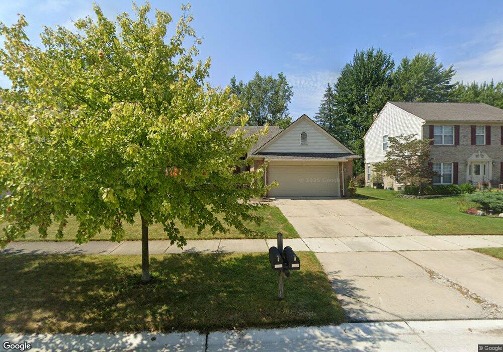
1556 Dunston Rd Unit Bldg-Unit Canton, MI 48188
Estimated Value: $400,414 - $494,000
--
Bed
3
Baths
1,718
Sq Ft
$259/Sq Ft
Est. Value
About This Home
This home is located at 1556 Dunston Rd Unit Bldg-Unit, Canton, MI 48188 and is currently estimated at $445,104, approximately $259 per square foot. 1556 Dunston Rd Unit Bldg-Unit is a home located in Wayne County with nearby schools including Canton High School, Salem High School, and Plymouth High School.
Ownership History
Date
Name
Owned For
Owner Type
Purchase Details
Closed on
Aug 4, 2022
Sold by
Passmore Emma A
Bought by
Henderson Kyle Reese
Current Estimated Value
Purchase Details
Closed on
Jul 16, 2020
Sold by
Ganesan Varsha and Lakshmanan Srinath
Bought by
Passmore Emma A
Purchase Details
Closed on
Aug 10, 2018
Sold by
Files Louis J
Bought by
Lakshmanan Srinath and Ganesan Varsha
Home Financials for this Owner
Home Financials are based on the most recent Mortgage that was taken out on this home.
Original Mortgage
$266,000
Interest Rate
4.5%
Mortgage Type
New Conventional
Create a Home Valuation Report for This Property
The Home Valuation Report is an in-depth analysis detailing your home's value as well as a comparison with similar homes in the area
Home Values in the Area
Average Home Value in this Area
Purchase History
| Date | Buyer | Sale Price | Title Company |
|---|---|---|---|
| Henderson Kyle Reese | $350,000 | None Listed On Document | |
| Passmore Emma A | $305,000 | Embassy Title Agency Inc | |
| Lakshmanan Srinath | $280,000 | None Available |
Source: Public Records
Mortgage History
| Date | Status | Borrower | Loan Amount |
|---|---|---|---|
| Previous Owner | Lakshmanan Srinath | $266,000 |
Source: Public Records
Tax History Compared to Growth
Tax History
| Year | Tax Paid | Tax Assessment Tax Assessment Total Assessment is a certain percentage of the fair market value that is determined by local assessors to be the total taxable value of land and additions on the property. | Land | Improvement |
|---|---|---|---|---|
| 2025 | $3,101 | $204,500 | $0 | $0 |
| 2024 | $3,101 | $197,800 | $0 | $0 |
| 2023 | $2,956 | $163,700 | $0 | $0 |
| 2022 | $5,932 | $144,100 | $0 | $0 |
| 2021 | $5,865 | $142,200 | $0 | $0 |
| 2020 | $5,635 | $141,500 | $0 | $0 |
| 2019 | $5,534 | $133,780 | $0 | $0 |
| 2018 | $1,812 | $128,710 | $0 | $0 |
| 2017 | $4,472 | $129,100 | $0 | $0 |
| 2016 | $3,991 | $125,700 | $0 | $0 |
| 2015 | $9,956 | $111,520 | $0 | $0 |
| 2013 | $9,645 | $101,510 | $0 | $0 |
| 2010 | -- | $101,440 | $52,332 | $49,108 |
Source: Public Records
Map
Nearby Homes
- 39605 Dorchester Cir
- 1913 Pebble Creek Dr
- 40488 Glen Eagle Ln Unit 75
- 2098 Preserve Cir W Unit 80
- 1803 Pinecroft Dr Unit 171
- 2065 Pinecroft Dr Unit 201
- 2322 Arcadia Dr Unit 254
- 39260 Phlox Ln Unit 12
- 1786 Daisy Ln
- 2448 Arcadia Dr
- 39250 Northampton St
- 2297 Hannan Rd
- 632 Georgetown St
- 2618 Hannan Rd
- 39214 Dillingham St
- 39615 Kirkland Dr
- 00000 Avondale St
- 41441 Cumberland Dr
- 38692 Watson Cir
- 000 S Lotz Rd
- 1556 Dunston Rd
- 1572 Dunston Rd
- 1544 Dunston Rd
- 1588 Dunston Rd
- 1563 Dunston Rd
- 1535 Dunston Rd
- 1528 Dunston Rd
- 1579 Dunston Rd
- 1600 Dunston Rd
- 40026 Woodale Way
- 39988 Woodale Way
- 1618 Dunston Rd
- 39937 Woodale Way
- 1625 Crestview Dr
- 39950 Woodale Way
- 1614 Crestview Dr
- 1500 Milbrook Rd
- 1532 Milbrook Rd
- 1500 Millbrook Rd
- 1468 Milbrook Rd