156 Bragg Rd West Brookfield, MA 01585
Estimated Value: $414,000 - $568,000
3
Beds
3
Baths
2,168
Sq Ft
$212/Sq Ft
Est. Value
About This Home
This home is located at 156 Bragg Rd, West Brookfield, MA 01585 and is currently estimated at $458,788, approximately $211 per square foot. 156 Bragg Rd is a home with nearby schools including Quaboag Regional High School.
Ownership History
Date
Name
Owned For
Owner Type
Purchase Details
Closed on
Sep 17, 2019
Sold by
Maple Lane Development
Bought by
Washburn Ronald A and Washburn Stephanie
Current Estimated Value
Purchase Details
Closed on
Nov 16, 2017
Sold by
Moore Douglas C and Moore Janet C
Bought by
Maple Lane Development
Purchase Details
Closed on
Oct 26, 1992
Sold by
Moore Douglas C and Sullivan Donna
Bought by
Moore Douglas C
Create a Home Valuation Report for This Property
The Home Valuation Report is an in-depth analysis detailing your home's value as well as a comparison with similar homes in the area
Home Values in the Area
Average Home Value in this Area
Purchase History
| Date | Buyer | Sale Price | Title Company |
|---|---|---|---|
| Washburn Ronald A | $315,000 | -- | |
| Maple Lane Development | $190,000 | -- | |
| Moore Douglas C | $50,000 | -- | |
| Moore Douglas C | $50,000 | -- |
Source: Public Records
Tax History Compared to Growth
Tax History
| Year | Tax Paid | Tax Assessment Tax Assessment Total Assessment is a certain percentage of the fair market value that is determined by local assessors to be the total taxable value of land and additions on the property. | Land | Improvement |
|---|---|---|---|---|
| 2025 | $5,622 | $379,600 | $54,700 | $324,900 |
| 2024 | $5,721 | $379,600 | $54,700 | $324,900 |
| 2023 | $5,581 | $353,200 | $54,700 | $298,500 |
| 2022 | $4,617 | $296,700 | $47,400 | $249,300 |
| 2021 | $4,521 | $283,300 | $44,500 | $238,800 |
| 2020 | $4,565 | $266,000 | $44,500 | $221,500 |
| 2019 | $4,572 | $251,900 | $44,500 | $207,400 |
| 2018 | $4,363 | $251,900 | $44,500 | $207,400 |
| 2017 | $4,560 | $245,700 | $46,600 | $199,100 |
| 2016 | $4,672 | $235,500 | $44,500 | $191,000 |
| 2015 | $4,200 | $224,000 | $44,500 | $179,500 |
| 2014 | $4,320 | $226,200 | $44,500 | $181,700 |
Source: Public Records
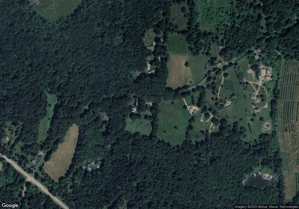
Map
Nearby Homes
- 1212 Southbridge Rd
- 368 Keys Rd
- 515 Keys Rd
- 18 Fox Run
- 12 Presidential Cir
- 16 Schoolhouse Cross Rd
- 366 Southbridge Rd
- 0 Brookfield Rd
- 0 Brimfield Rd Unit 73426061
- 152 Southbridge Rd Unit 3D
- 261 Little Rest Rd
- 124 Southbridge Rd
- Lot 8 Southbridge Rd
- LOT 7 Southbridge Rd
- 58 Nelson St
- 29 Liberty St
- 293 Brookfield Rd
- 82 Comins Pond Rd
- Lot 5 Brimfield Rd
- Lot 3 Brimfield Rd
- 146 Bragg Rd
- 90 Bragg Rd
- Lot 29 Bragg Rd
- 0 Bragg Rd
- 230 Bragg Rd
- 241 Bragg Rd
- 1509 Southbridge Rd
- 1493 Southbridge Rd
- 1375 Southbridge Rd Unit 1411
- 1537 Southbridge Rd
- 1494 Southbridge Rd
- 1591 Southbridge Rd
- 0 Forest Ave Unit 70371411
- 0 Forest Ave Unit 73212589
- 0 Forest Ave Unit 73035497
- 0 Forest Ave Unit 70484833
- 0 Forest Ave Unit 71768808
- 0 Forest Ave Unit 30574197
- 769 Cronin Rd
- 1 Forest Ave