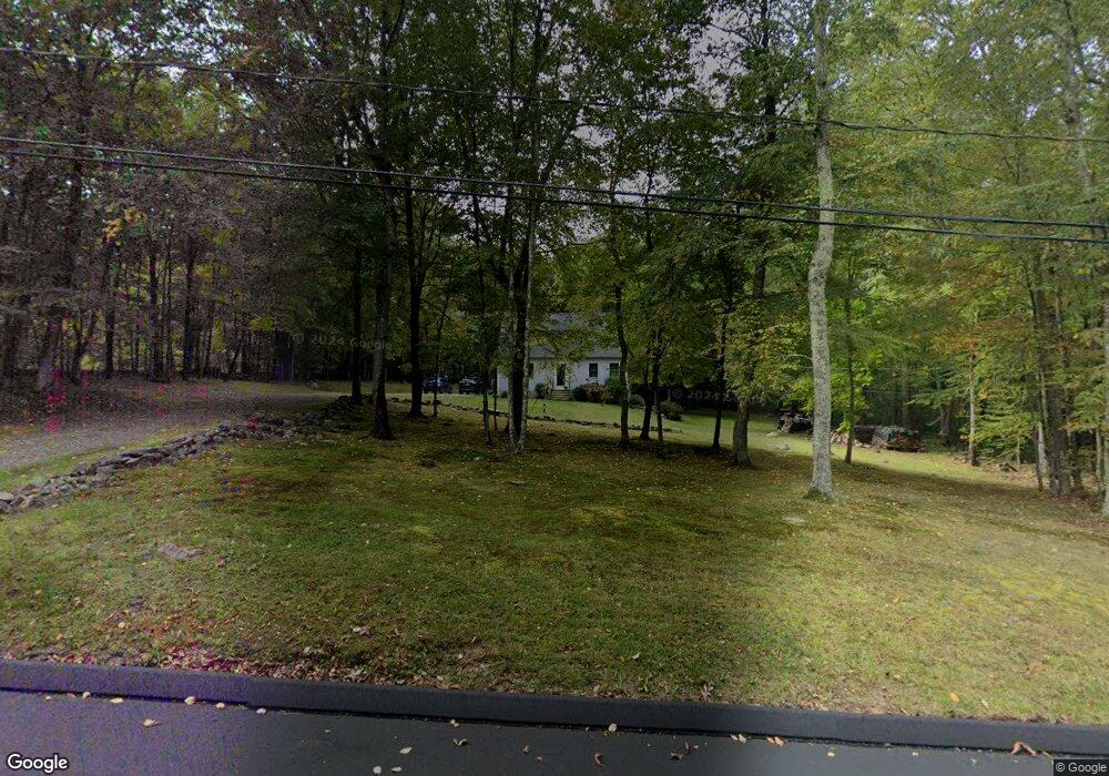
156 Daniel Peck Rd East Haddam, CT 06423
Estimated Value: $415,000 - $565,000
3
Beds
2
Baths
1,591
Sq Ft
$291/Sq Ft
Est. Value
About This Home
This home is located at 156 Daniel Peck Rd, East Haddam, CT 06423 and is currently estimated at $463,028, approximately $291 per square foot. 156 Daniel Peck Rd is a home located in Middlesex County with nearby schools including East Haddam Elementary School, Nathan Hale-Ray Middle School, and Nathan Hale-Ray High School.
Ownership History
Date
Name
Owned For
Owner Type
Purchase Details
Closed on
Jul 26, 1993
Sold by
Quinn & Quinn Mason Co
Bought by
Berndtson David A and Berndtson Mary L
Current Estimated Value
Home Financials for this Owner
Home Financials are based on the most recent Mortgage that was taken out on this home.
Original Mortgage
$60,000
Interest Rate
7.43%
Mortgage Type
Purchase Money Mortgage
Create a Home Valuation Report for This Property
The Home Valuation Report is an in-depth analysis detailing your home's value as well as a comparison with similar homes in the area
Home Values in the Area
Average Home Value in this Area
Purchase History
| Date | Buyer | Sale Price | Title Company |
|---|---|---|---|
| Berndtson David A | $146,000 | -- | |
| Mason Quinn | $50,000 | -- |
Source: Public Records
Mortgage History
| Date | Status | Borrower | Loan Amount |
|---|---|---|---|
| Closed | Mason Quinn | $47,250 | |
| Closed | Mason Quinn | $60,000 |
Source: Public Records
Tax History Compared to Growth
Tax History
| Year | Tax Paid | Tax Assessment Tax Assessment Total Assessment is a certain percentage of the fair market value that is determined by local assessors to be the total taxable value of land and additions on the property. | Land | Improvement |
|---|---|---|---|---|
| 2025 | $6,164 | $219,670 | $82,890 | $136,780 |
| 2024 | $5,878 | $219,670 | $82,890 | $136,780 |
| 2023 | $5,657 | $219,670 | $82,890 | $136,780 |
| 2022 | $5,368 | $168,870 | $67,300 | $101,570 |
| 2021 | $5,140 | $168,870 | $67,300 | $101,570 |
| 2020 | $5,140 | $168,870 | $67,300 | $101,570 |
| 2019 | $5,140 | $168,870 | $67,300 | $101,570 |
| 2018 | $5,009 | $168,870 | $67,300 | $101,570 |
| 2017 | $5,222 | $176,530 | $81,960 | $94,570 |
| 2016 | $5,181 | $176,530 | $81,960 | $94,570 |
| 2015 | $5,063 | $176,530 | $81,960 | $94,570 |
| 2014 | $4,925 | $176,540 | $81,970 | $94,570 |
Source: Public Records
Map
Nearby Homes
- 112 Schulman Veslak Rd
- 63 Schulman Veslak Rd
- 114 Lakeside Dr
- 0 Lakeside Dr
- 21 Olmstead Rd
- 206 Sheepskin Hollow Rd
- 23 Olmstead Rd
- 331 Tater Hill Rd
- 8 Tom Rd
- 317 Tater Hill Rd
- 42 Dogwood Rd
- 53 Falls Bashan Rd
- 53 Shanaghans Rd
- 73 Lake Shore Dr
- 154 Falls Rd
- 90 Lake Shore Dr
- 0 Hopyard Rd Unit 24103236
- 129 Salem Rd
- 45 Alger Rd
- 55 Bogel Rd
- 162 Daniel Peck Rd
- 151 Daniel Peck Rd
- 166 Daniel Peck Rd
- 152 Daniel Peck Rd
- 161 Daniel Peck Rd
- 158 Daniel Peck Rd
- 160 Daniel Peck Rd
- 144 Daniel Peck Rd
- 180 Daniel Peck Rd
- 3 Beebe Rd
- 79 Wickham Rd
- 7 Beebe Rd
- 137 Daniel Peck Rd
- 11 Beebe Rd
- 184 Daniel Peck Rd
- 171 Daniel Peck Rd
- 143 Daniel Peck Rd
- 15 Beebe Rd
- 69 Wickham Rd
- 81 Wickham Rd